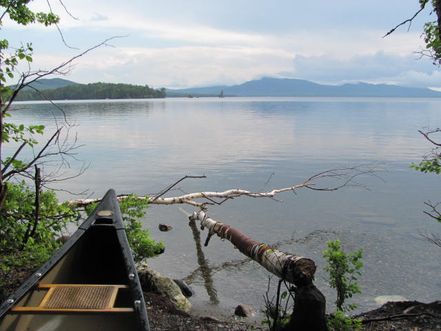
Moosehead Lake from Lily Bay Park in Beaver Cove (2011)

Location Map for Beaver Cove
| Year | Population |
|---|---|
| 1970 | 63 |
| 1980 | 56 |
| 1990 | 104 |
| 2000 | 91 |
| 2010 | 122 |
| Geographic Data | |
|---|---|
| N. Latitude | 45:32:59 |
| W. Longitude | 69:22:30 |
| Maine House | District 119 |
| Maine Senate | District 4 |
| Congress | District 2 |
| Area sq. mi. | (total) 32.6 |
| Area sq. mi. | (land) 31.7 |
| Population/sq.mi. | (land) 3.9 |
County: Piscataquis
Total=land+water; Land=land only |
|
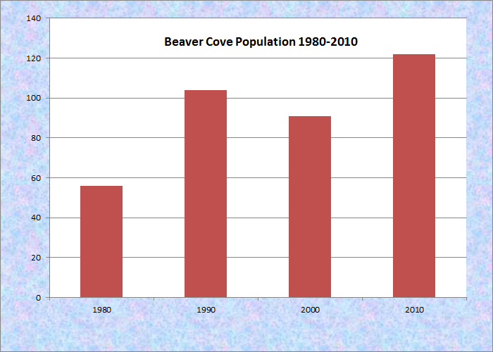
Population Trend 1980-2010
 N45° 32' 9.90\" W69° 32' 35.00\"")
Town Office and Community Room (2011) @
 N45° 32' 9.90\" W69° 32' 35.00\"")
“Welcome to Beaver Cove” on Lily Bay Road 2011) @
Beaver Cove is a town in Piscataquis County, set off from Greenville and organized as a plantation in 1975. It was incorporated as a town in 1978.
")
Sign: “Beaver Cove Camps” (2011)
")
Deer on Roadside (2011)
The town, named for the cove in the southeastern corner of Moosehead Lake that cuts into it, is north of Greenville on the Lily Bay Road. It offers private camping and recreational opportunities.
")
Moosehead Lake from Lily Bay Road (2011)
Nearby Lily Bay State Park is a popular recreational and boat launching site fronting on the lake.
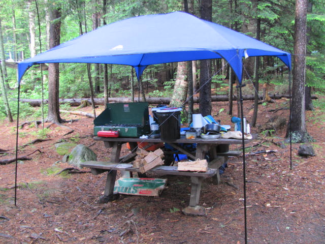
Cooking tent at Lily Bay Campground (2011)
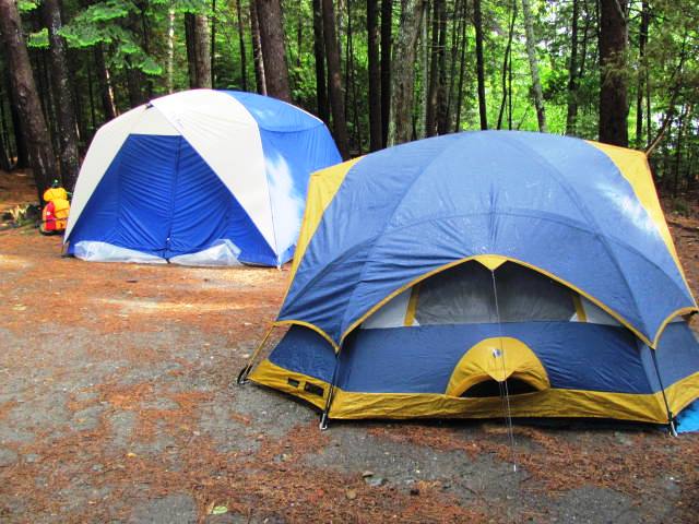
Tents at Lily Bay Campground (2011)
The town is also an access point for Elephant Mountain and the preserved site of a B-52 bomber crash in 1963 on Elephant Mountain.
Form of Government: Town Meeting-Select Board-Administrative Assistant.