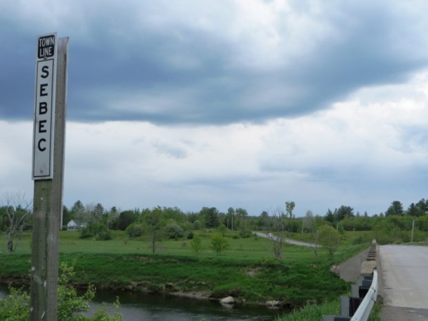
Willimantic

Location Map for Willimantic

Located on the western end of Sebec Lake, the town offers many camping and fishing opportunities. Packard Landing was the location of Packard’s Camps in the late 19th and early 20th centuries. Maine Route 150 runs north from Guilford and terminates at the village of Sebec Lake, not to be confused with the town of Sebec at the far eastern end of the Lake.

Sebec

Several small ponds dot the landscape, including the 28-acre Garland Pond. Located between Dover-Foxcroft to the west and Milo to the east, the town is connected to both by Maine combined Route 6 and 16, and by the Piscataquis River.

Bowerbank

Skidder with baloon tires and chains at logging operation on Plum Creek land in Bowerbank (2010)

Bowerbank village has substantial frontage on Sebec Lake. The Montreal, Maine, and Atlantic Railway tracks span the northern portion of the township, eventually arriving at Brownville Junction. The large Maine landowner Plum Creek has substantial ownership in Bowerbank. Harvesting the forests with modern machinery is a spectacular sight. See video and map.