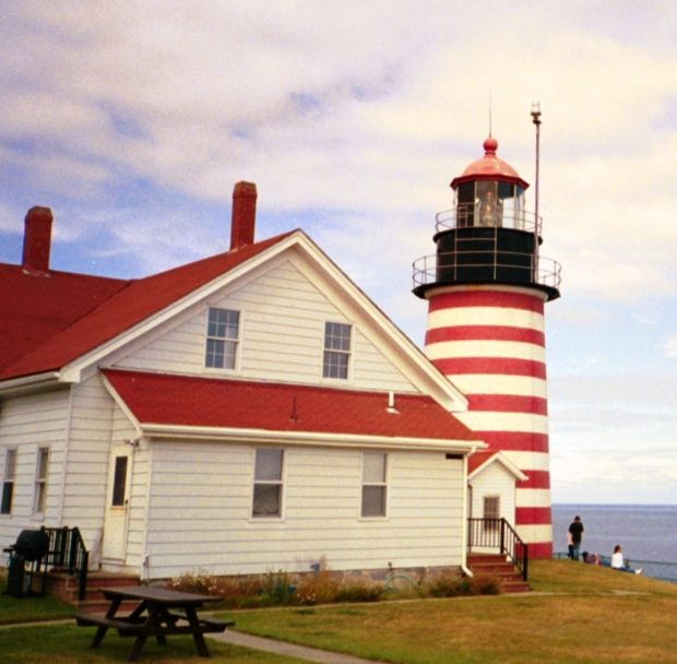
Trescott

Location Map for Trescott

The township, in Washington County, has several coastal harbors, one at the village of South Trescott. During the clipper ship boom of the 1850’s, the vessel Sea Lark was launched in 1852. Served by Maine routes 189 and 191, it has substantial frontage on Cobscook Bay at its northern tip.

Whiting

The main village is located at the easterly end of the township where the Orange River flows into Whiting Bay at the Junction of U.S. Route 1 and Maine Route 189 to Lubec. A dam creates a pond on the river in the village. See photos. Cutler Coast Public Preserved Land, in Cutler and Whiting, contains almost five miles of dramatic cliff-bound ocean shore. Water abounds in Whiting’s the northern half, with many acres of lakes and ponds.

Lubec

West Quoddy Head Light is the eastern most lighthouse in the United States.

Lubec contains the easternmost point in the United States: West Quoddy Head, on which the famous lighthouse of the same name sits. See video and photos. A State Park is nearby. Lubec is the birthplace of Myron Avery, a key to the creation of the Appalachian Trail and a founder of the Maine Appalachian Trail Club. The sardine industry important in the late 19th & early 20th centuries.