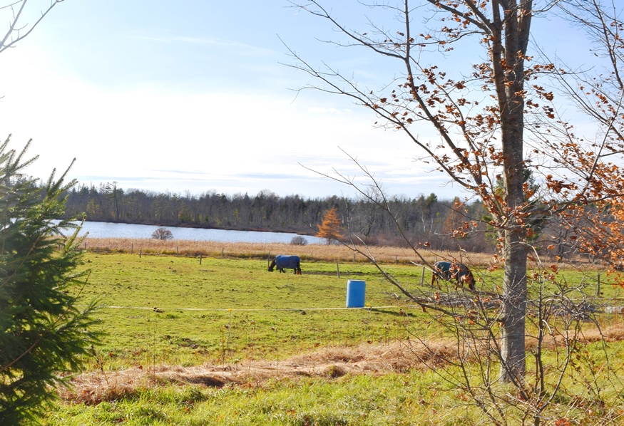
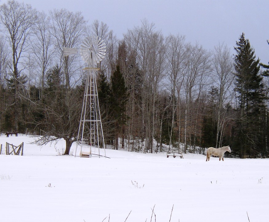
Mayfield Township

Incorporated as a town in 1892, it deorganized in 1937. This township is just north of Brighton Plantation, with Mayfield Corner being the intersection of Routes 16 and 151 and the site of a village in the 19th century. It has private frontage on Otter Pond, Mayfield Pond and Kingsbury Pond. According to a report…

Palmyra

Location Map for Palmyra

The Sebasticook River passes through Douglas Pond at the south end of the town, just above Pittsfield. A golf course and campground is adjacent to White Pond, in the eastern portion of the town, where a “hand-carry” boat launch is available. The Madawaska Wildlife Management Area straddles Madawaska Brook and encompasses the Madawaska Marsh.

Hartland

Horses Grazing near Starbird Pond in Hartland (2019)

About 19 miles northeast of Skowhegan, Hartland village lies on the Sebasticook River at the junction of Maine Routes 23, 43, 151, and 152. See photos. Built before the Civil War, the Academy Building ceased its educational function in 2001 when a new school was built.. It became the Town Hall, hosting town meetings and offices. Woolen mills and tanneries were 19th and early 20th century industries.