T3 R4 BKP WKR

Location Map for T3 R4 BKP WKR

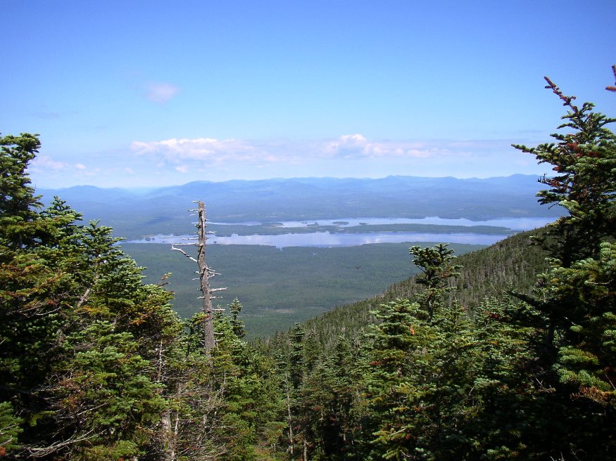
T3 R4 BKP WKR This township hosts the Long Falls Dam on the Dead River. That dam maintains the level of Flagstaff Lake, but required the removal of the village of Flagstaff, which was flooded as a result of its construction.. There was a small natural lake at Flagstaff. In 1950, Central Maine Power Company…

Flagstaff Township

rtion of Flagstaff Lake in Flagstaff Plantation from Bigelow Mountain (2003)

[FLAG-staff] plantation was formally organized on March 5, 1895, though it had been organized for election purposes in 1851, 1865 and 1870. Flagstaff and nearby Dead River Plantation were inundated with water from the Central Maine Power Company’s Long Falls Dam on the Dead River in 1949, after a planned and complete relocation of its…

Dead River and Flagstaff Lake

Location Map for Dead River and Flagstaff Lake

The bulk of Flagstaff Lake (maps on right) cover Flagstaff, Bigelow, and Dead River townships in western Somerset County. See also Bigelow Township.The North Branch of the Dead River (maps on left) flows through the town of Eustis. Comparing the course of the Dead River in 1928 (upper maps) with that in 1956 (lower maps),…