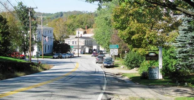
Moscow

Moscow where Benedict Arnold

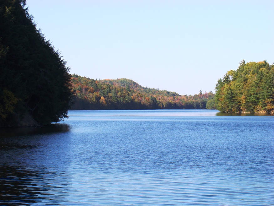
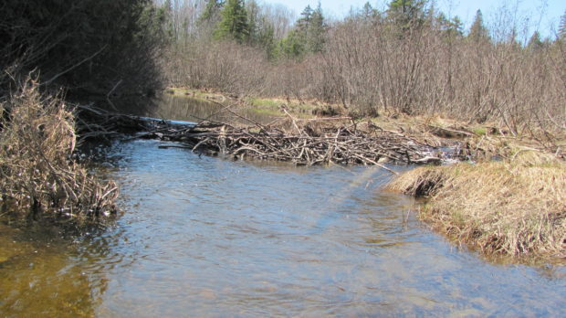
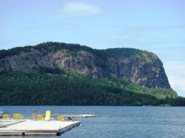
The town hosts the Wyman Hydroelectric Station, with its impressive Wyman Dam and its consequence: Wyman Lake, a bulge in the Kennebec River extending about six miles to the north between Moscow and Pleasant Ridge. See photos. Bingham and Moscow constitute a single population center at the junction of U.S. Route 201 (leading north to the Province of Quebec).

Morse Mountain

Sign Just Off Route 216 (2010)

The Bates-Morse Mountain Conservation Area is located off Route 216 in Phippsburg. A parking lot is available but no restroom facilities are provided. Managed by Bates College, it includes a spectacular view of the winding Sprague River exiting the Sprague River Salt Marsh and entering the Atlantic Ocean. According to Andrea Brann, In 1793, Daniel…

Moro Plantation

Katahdin Lodge on Route 11 in Moro Plantation (2014)

is located about 24 miles west of Houlton, and north of Patten on Maine Route 11. See photos. Rockabema Lake, the source of the West Branch of the Mattawamkeag River, occupies the north central portion of the township. A Scattering of small ponds lie just north of the lake, providing a fine source of fishing. The heavily wooded area supports hunting, guides, and hunting lodges.

Moosehorn Refuge

Sign: Moosehorn National Wildlife Refuge (2004)

The Moosehorn National Wildlife Refuge, a nature preserve, was established in 1937 as a refuge and breeding ground for migratory birds and other wildlife. It is the first in a chain of migratory bird refuges that extends from Maine to Florida. The refuge consists of two units. The Baring Unit covers 17,200 acres and is…

Monmouth

Cumston Hall (2001)

The Theater at Monmouth, specializes in Elizabethan productions. See photos. Highmoor Farm is part of the University of Maine’s agricultural experiment station network. This growing town is located on U.S. Route 202 between Augusta and Lewiston, making it a convenient location for commuters to each city.

Milo

House and Barn in Milo on Route 11 [Park Street] (2014)

Milo village lies just north of the junction of the Sebec and Piscataquis Rivers. The Pleasant River flows south through the town from Brownville to join the Piscataquis. Derby, on the east side of the Sebec River, is a service area for the Bangor and Aroostook Railroad.

Mattawamkeag

Upper Gordon Falls on the Mattawamkeag River (2016) [See video]

The Mattawamkeag River, on which the town is located, is the largest eastern tributary of the Penobscot. See photos. The junction of the two rivers is marked by a gravel bar at the entrance to the Mattawamkeag. Thoreau, on his way to climbing Mount Katahdin, visited the area in 1847. Today, a 1,000 acre Wilderness Park is situated between the two rivers with campsites, fishing, swimming and hiking available.

Beavers

Beaver Dam at Dresden Bog (2010)

are the largest of rodents. They have flat, scaly tails, and large front teeth. Beavers use their teeth to cut down and dismember small trees to use in construction projects: their homes (lodges) and dams to surround their lodges with water.  Access to the lodges is underwater, so most bothersome animals cannot get in. They…

Macwahoc

The name (the Indian term for “bog” or “wet ground”) is appropriate since the main village lies at the north end of a bog on Molunkus Stream. See photos. The township has some frontage on Molunkus Lake. A 485 acre section of Maine Public Reserved Land is here.

Lubec

West Quoddy Head Light is the eastern most lighthouse in the United States.

Lubec contains the easternmost point in the United States: West Quoddy Head, on which the famous lighthouse of the same name sits. See video and photos. A State Park is nearby. Lubec is the birthplace of Myron Avery, a key to the creation of the Appalachian Trail and a founder of the Maine Appalachian Trail Club. The sardine industry important in the late 19th & early 20th centuries.

Livermore Falls

Livermore Falls Birdseye View 1889

For years Livermore Falls was a thriving paper mill town. See video and photos. Recently, the employment future has become less certain, as shown by the age of the housing stock. Pikes Corner at Route 133 and 106 is in the East Livermore area, in Livermore Falls. The town is directly north of the Lewiston-Auburn area. An extensive logging and manufacturing operation produces wood pallets.

Lincolnville

Located on U.S. Route 1 and Penobscot Bay, the village of Lincolnville Beach is the Maine State Ferry Service mainland terminal for the ferry to Islesboro. See photos. Lincolnville Center is about seven miles inland from the beach. That village hosts another post office, a general store, a former fire house and adjoining schoolhouse, an old meetinghouse, and the Lincolnville Telephone Company.

Lincoln Plantation

In the 19th century, it was a magnet for summer visitors to Parmachene Lake, a hunting and fishing resort. See photos. The southern end of Aziscohos Lake offers campsites and fishing in the area known as Wilsons Mills. The Aziscohos Dam spills water into the Magalloway River. A 93-foot Covered Bridge, built in 1901 has been closed to traffic since 1985.

Limerick

It was settled by whites in 1775 on the old Pequaket Trail, a way station used by the Sokoki Indians traveling between the Saco River and Pequaket (Fryeburg). Sokokis Lake (also known as Holland Pond) and the long Lake Arrowhead grace the northeast corner of the town near Limerick village.

Kittery

Portsmouth Naval Shipyard (2013)

in York County serves as the gateway to Maine from points south with its old and more modern bridges spanning the Piscataqua River. See video & photos. The federal government established the Navy Yard in 1806. The 74-gun ship Washington was the first vessel built there in 1815. The town’s long history is partially illustrated by the substantial list of historic sites.

Kingfield

Now a “four season” recreation center, located half way between the North Pole and the Equator, it is the gateway to Sugarloaf Mountain Ski Area in Carrabassett Valley. See video & photo. Named for Maine’s first governor, the town hosts the Stanly Museum (of Stanley Steamer fame).

Kineo, Mount

The map at left is the 1922 USGS 15 Minute Series, Moosehead Lake, ME Quadrangle, Northwest Corner, from the University of New Hampshire Dimond Library. The Kineo Cottage Row Historic District is a collection of seven wood-framed cottages built in conjunction with the Kineo Resort complex between 1901 and 1912. They were designed in the…

Hiram

Routes 5/13 entering Hiram Village from the North (2010)

The villages of Hiram and East Hiram are divided by the Saco River. Nearby Mount Cutler sports a hiking trail; a chain of ponds hugs the western border above South Hiram. Raymond Cotton, a storekeeper and author, made many home movies. See photos & 1938 video on blueberry farming. The community buildings (churches, library, grange, museum) are within walking distance in Hiram village.

Hersey

Hersey Village is in the extreme west of the township on Route 11. Townline Road is its northern boundary, separating it from Moro Plantation. The interior of the township is accessible on the Retreat Road, which extends from Route 159 in Crystal in the south to Route 11 in Hersey’s northwest corner. The 137-acre Crystal Lake is the only one in the town.

Harrison

Historic 1912 Ryefield Bridge over the Crooked River between Harrison and Oxford (2017)

A growing community, its population has consistently expanded over the past forty years. From 2000 to 2010 alone it grew by nearly 18%. See photos and video. By 1847 a wood products mill, known as Scribner’s Mill, was in operation. An effort to restore it is underway. Just north of Naples, Harrison has substantial frontage on Long Lake, which it shares with Bridgton.