Woodland

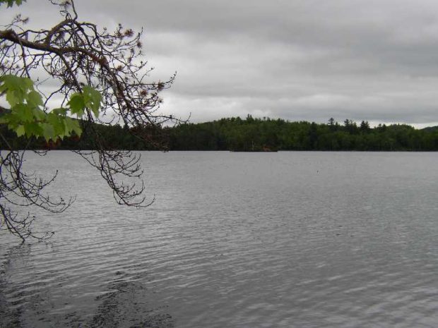
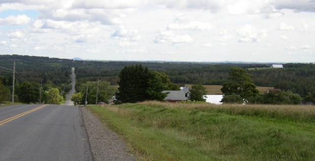
Long view in Woodland on the Colby Siding Road (2003)

With little in the way of a central village, the town lies west of Caribou served by Maine Routes 161 and 228. See photos. Unable to find enough land in New Sweden, members of the Swedish Colony were granted 100 acre lots in Woodland. This northern community, in the heart of potato and forest product country, is not to be confused with the village of Woodland in the town of Baileyville.

Woodstock

Not the site of the 1960’s rock concert (that was New York), Woodstock’s major village is Bryant Pond, named from the adjacent water body. The Pond outlet is the source of the Little Androscoggin River. See photos. South Woodstock is home to the small South Woodstock Meetinghouse and is the site of an old mill pond and mill on Andrews Brook.

Woodville

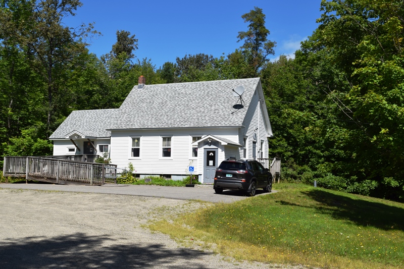
Woodville Town Office on Route 116 in South Woodville (2020)

The town dominates the west side of the great bend in the Penobscot River just south of Medway where the East and West branches combine. Maine Route 116 leaves the River in Chester and cuts through Woodville to Medway.

Woolwich

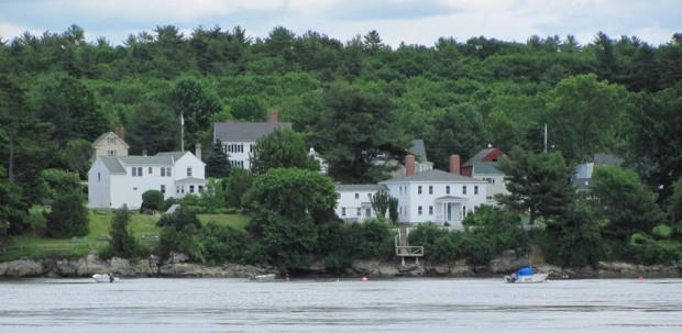
Woolwich Shore on the Kennebec River from Thorne Head in North Bath (2010)

Woolwich, across the Kennebec River from Bath and with long shores on Merrymeeting Bay, is home to two nature preserves. Settled in the 1600s, it has several historic buildings. Alewives have been a historic part of the community.

Wyman Township

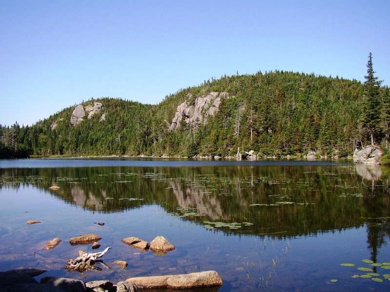
The Horns Pond on Bigelow Mountain (2003)

The Bigelow Public Reserve Land tract is located in Wyman Township, Bigelow Township, and Dead River Township in Franklin and Somerset counties. All three townships are contiguous and lie just south of Flagstaff Lake. East of Stratton in the town of Eustis, about 40 miles north of Farmington, it holds over 36,000 acres of public…

Yarmouth

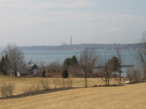
Yarmouth is a coastal town northeast of Portland on I-295 and U.S. Route 1. See photos. It is home to the Delorme Mapping Company and North Yarmouth Academy. Cousin’s Island is home to a large, oil fueled electric power plant known as Wyman Station. The Island has ferry terminal for Chebeague Island.

York

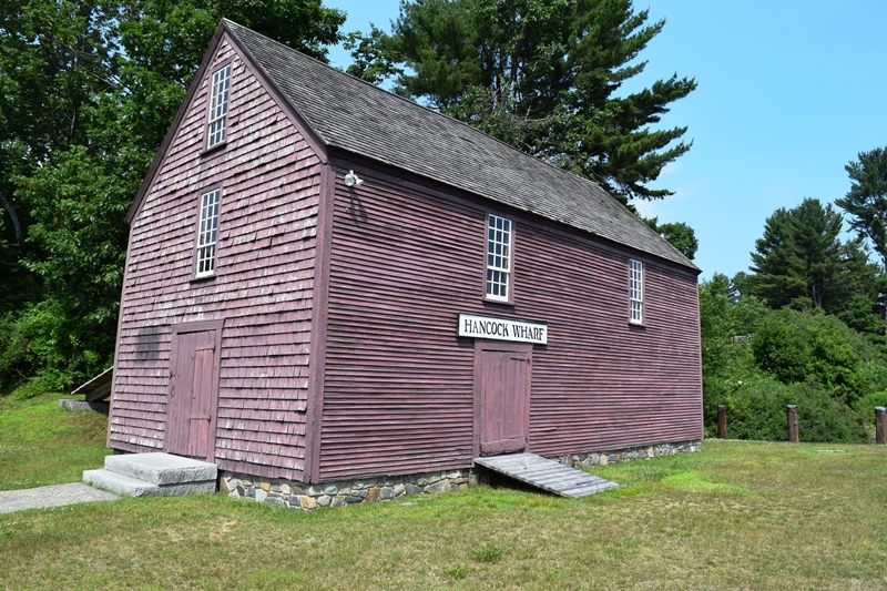
1787-1794 John Hancock Warehouse and Wharf in York (2018)

Most of the town’s inhabitants are located between U.S. Route 1 (inland) and U.S. Route 1A which runs along the coast. Its population has more than doubled in the past thirty years, and grew by nearly 31 percent between 1990 and 2000. Beaches and cottages characterize the coast.

York County

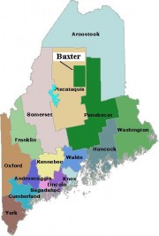
Map of Maine Counties and Baxter Park

was Maine’s first county, established November 20, 1652, by the Massachusetts act that also incorporated the town of Kittery.  The county included all of the land claimed by Massachusetts beyond the Piscataqua River, which now defines the southern boundary of Maine with New Hampshire. In 1674, the jurisdiction of Massachusetts was extended to Muscongus Bay,…