Portage Lake

Late Summer Sunset over Portage Lake (2003)

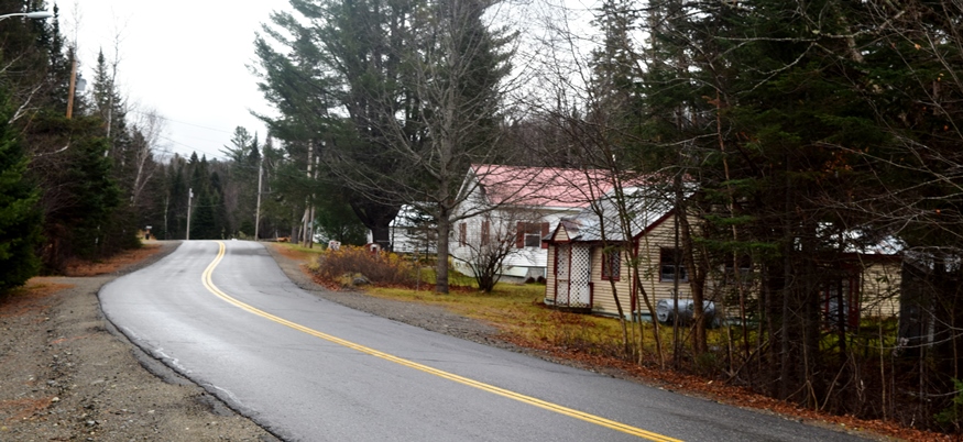
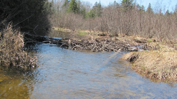
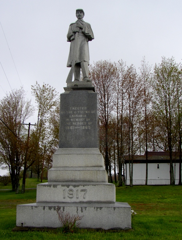
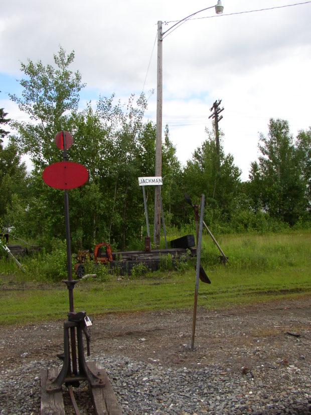
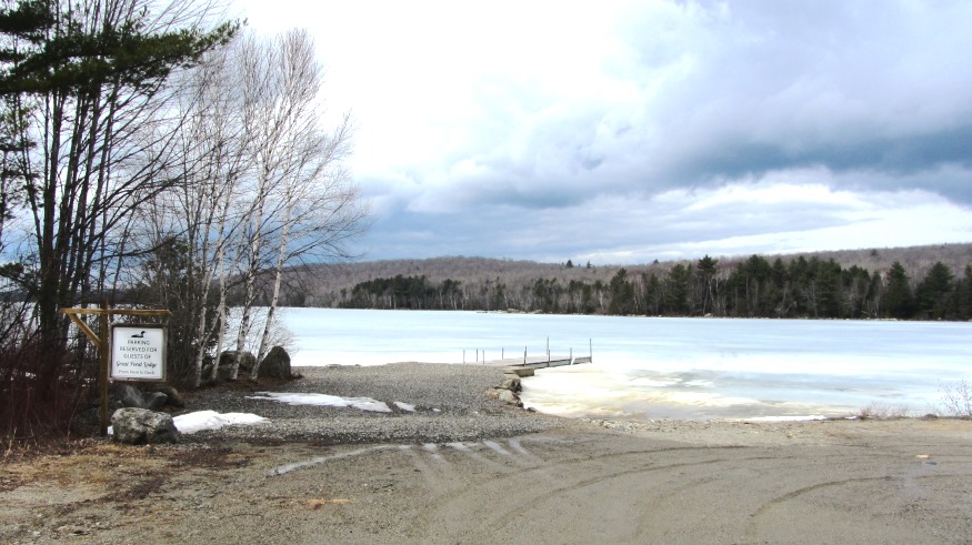
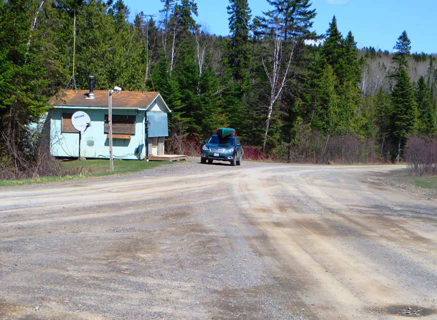
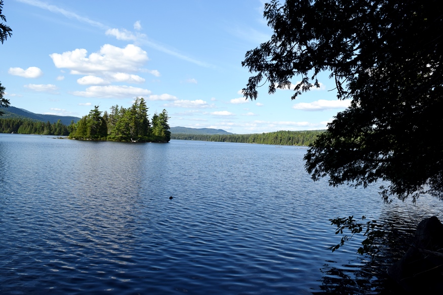
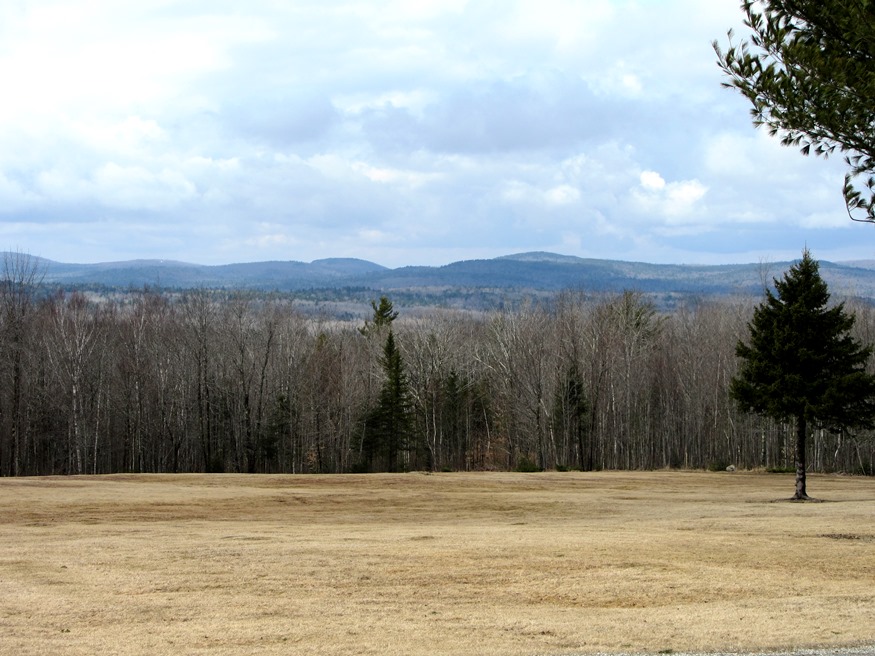
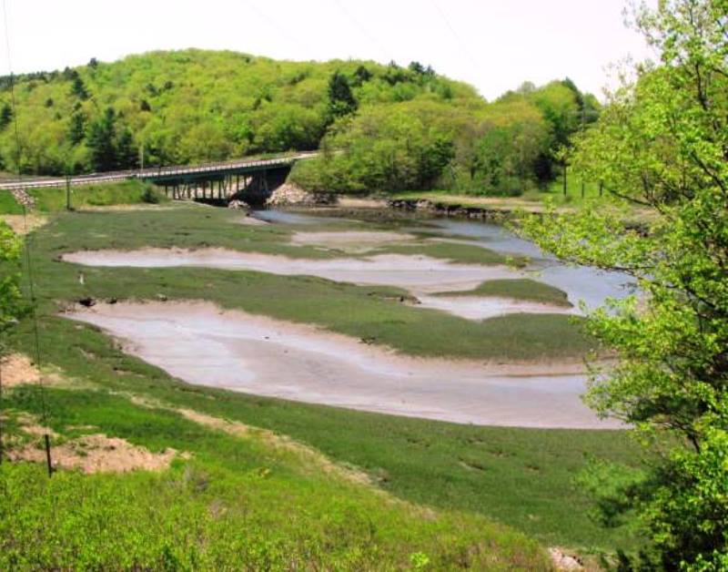
in Aroostook County, settled in 1844, incorporated 1909, the village lies at the southeastern end of Portage Lake, about twelve miles northwest of Ashland. See photos. In 1967 a small community of Tibetan refugees was established, but dissolved in 1970 when their work project terminated. They scattered to other states.

Perham

Panoramic View from the north side of Mouse Island Road (2015)

The northern portion is dominated by a section of Maine Public Reserved Land, some of which encompasses the Salmon Brook Lake. A 1,055-acre Ecological Reserve surrounds the lake and wetlands. The 59-mile multi-use Bangor and Aroostook Trail is a located in Perham, Caribou, and other area towns. The trail, formerly a Bangor and Aroostook Railroad corridor, passes along the western side of Salmon Brook Lake Bog in Perham. Located west of Caribou on Maine Route 228. Perham is an agricultural community.

Public Reserved Lands

Richardson Pond in Adamstown Township from Richardson Pond Road in Lincoln Plantation (2018)

Richardson Pond in Adamstown Township from Richardson Pond Road in Lincoln Plantation (2018)   History “Maine’s “Public Reserved Lands” have a unique history. Separate from the state park system and Baxter State Park, and from more recent purchases under the “Land for Maine’s Future” program, these lands have their origin in the “public lots” that…

Osborn Plantation

Panoramic View of Mountains looking West from Route 179 in Osborn (2013)

Osborn hosts two lots of Maine’s Public Reserved Lands with many trees well over 100 years old. The Osborn lots have a long history of timber management. Spectacle Pond, through which the Union River flows, is a major asset of the town. With few major roads, it is served in its northwest corner by Maine Route 179.

Newcastle

Deer Meadow Brook from Frank Steele Woods in South Newcastle (2011)

Damariscotta Lake is a major destination for adult alewives with intentions of spawning the next generation. The fishway near the dam at Damariscotta Mills in Newcastle provides access to and from the lake. See photos. Newcastle, located on U.S. Route 1 just west of the Damariscotta River, is home to Maine’s oldest Catholic Church, St. Patrick’s, completed in 1808. Several nature preserves in Lincoln County are in Newcastle. Nearby Great Salt Bay is protected by Maine legislation and is the state’s first marine shellfish protected area.

New Gloucester

Pineland Farms near the Intervale Road in New Gloucester (2013)

home for Pineland Center from 1908 to 1996, that facility for the mentally retarded was known as the “Maine School for the Feeble-Minded” and later as the Pownal State School. See photos. It has been redeveloped as an office park. The multiple-use campus hosts professional, educational, and civic organizations, along with a conference facility. Pineland Farms and its Equestrian Center are major facilities nearby.

New Canada

Power Lines and Cropland off the Caribou Road in New Canada (2018)

Daigle is the principal village in the town, which is located just south of Fort Kent on Maine Route 161 near Daigle Pond. Boat launching facilities are available on the small chain of First Lake, Second Lake, and Third Lake in the southwest corner of the town. A section of Maine’s Public Reserved Land, the New Canada lot, is a 1,000-acre original public lot located north of the Eagle Lake Unit.

Nashville

Location Map for Nashville

Located northwest of Ashland and south of Portage Lake on Route 11. Little Machias Lake, through which the Little Machias River runs, is in the northwest corner of the plantation. Nashville hosts two lots of Maine’s Public Reserved Land, of which about 10% of the acreage is reserved for wildlife, with the remainder allocated to timber management and harvesting.

Moxie Gore

Small Village on the Lake Moxie Road in Moxie Gore (2019)

Moxie Gore is an unorganized township in Somerset County bordering the east bank of the Kennebec River just above The Forks Plantation.  Its odd shape earns it the name “Gore.” Moxie Stream is the outlet for Moxie Pond, which straddles The Forks and East Moxie Township to the southeast. Before joining the Kennebec River, the…

Magalloway Plantation

Signs at the entrance to Fish Pond Road in Lincoln Plantation

Named for the Malecite Indian word for “caribou,” it is located on the New Hampshire border, with substantial frontage on Umbagog Lake and on Upper and Lower Lower Richardson Lakes. A section of Maine Public Reserved Land sits just north of the Lake Umbagog National Wildlife Refuge on that lake’s Sunday Cove. The plantation is accessible from Maine Route 16 in Lincoln Plantation.

Macwahoc

The name (the Indian term for “bog” or “wet ground”) is appropriate since the main village lies at the north end of a bog on Molunkus Stream. See photos. The township has some frontage on Molunkus Lake. A 485 acre section of Maine Public Reserved Land is here.

Lake View Plantation

Location Map for Lakeview Plantation

The small community’s more than doubling in population from 2000 to 2010 may be due to the selling of large tracts of woodland to private individuals for the creation of “wilderness” estates around Schoodic Lake. Lake View Plantation’s town office is located in nearby Brownville. Home to a section of public reserved land.

Lagrange

While growing slowly, this still small community retains its rural, farming and home town identity. Lagrange was named for the estate of the Marquis de La Fayette, the French friend of the American Revolution. See photos. A section of Maine Public Reserved Land is in the southwest corner of the township, managed for recreation and sustainable forestry.

Jackman

James Jackman, was usually called “Captain Jackman.” He was contracted by the State to build the Canada Road from the Forks to the Canadian border. See photos. The village is on the shore of Wood Pond in Attean Township. Attean Pond and Attean Mountain are southwest of the village in an area designated as one of Maine’s “public reserved lands.” The area provides attractive fishing and hunting opportunities, canoe trips on the Moose River, and jobs for workers in the logging industry.

Holeb Township

Holeb was and is a place for harvesting forest products. Amos A. Logging crews and camps were here and in the 19th century. See photos. Most of the shores on Attean and Holeb Ponds, and a significant length of the Moose River including Holeb Falls, lie within the Maine Public Reserved Lands. Canoe trips are frequent.

Hammond

Location Map for Hammond

Hammond is west of Littleton and northwest of Houlton in southern Aroostook County, clearly “off the beaten path” of U.S. Route 1. However, it has sustained, and increased, its small population over four decades. Access to the public “Hammond Lot” is through the small village in the southeast near Houlton. B stream runs west to east through the southern portion of the township, from B Pond through B Dam in the east.

Great Pond Plantation

Great Pond in the Town of Great Pond (2013)

The small main village is a mile south of Great Pond. The town office, an old church, and a few houses are there. See photos. “Stud Mill Road” runs east-west through the Plantation from Washington and Hancock counties, to the Costigan stud mill in Milford. The Union River, outlet from Great Pond, flows south through Ellsworth to Union River Bay. The Navy has a recreation center at the lake.

Garfield

North Maine Woods Checkpoint on American Realty Road in Garfield Plantation (2015)

has had population loss from 1970 through 2010. Realty Road runs east-west across the northern portion beginning at the Ashland town line. A hunting camp and lodge, and a section of Maine Public Reserved Land, are here. See map. Aroostook County’s Machias River flows through the plantation to join the Aroostook River in Ashland.

Flagstaff Township

rtion of Flagstaff Lake in Flagstaff Plantation from Bigelow Mountain (2003)

[FLAG-staff] plantation was formally organized on March 5, 1895, though it had been organized for election purposes in 1851, 1865 and 1870. Flagstaff and nearby Dead River Plantation were inundated with water from the Central Maine Power Company’s Long Falls Dam on the Dead River in 1949, after a planned and complete relocation of its…

Falmouth

Historic Hall

In 1658, a town named Falmouth was created but was destroyed by Indians in 1689. In 1718 a town was again established. Much of the original area was later distributed to new towns: Cape Elizabeth, Portland, and Westbrook. Falmouth is a rapidly growing suburban community, having increased over 35% in population between 1990 and 2000. Percival Baxter donated Mackworth Island to the state, now a nature preserve in the town.