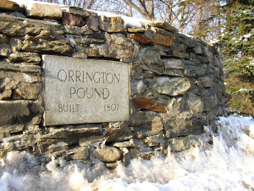
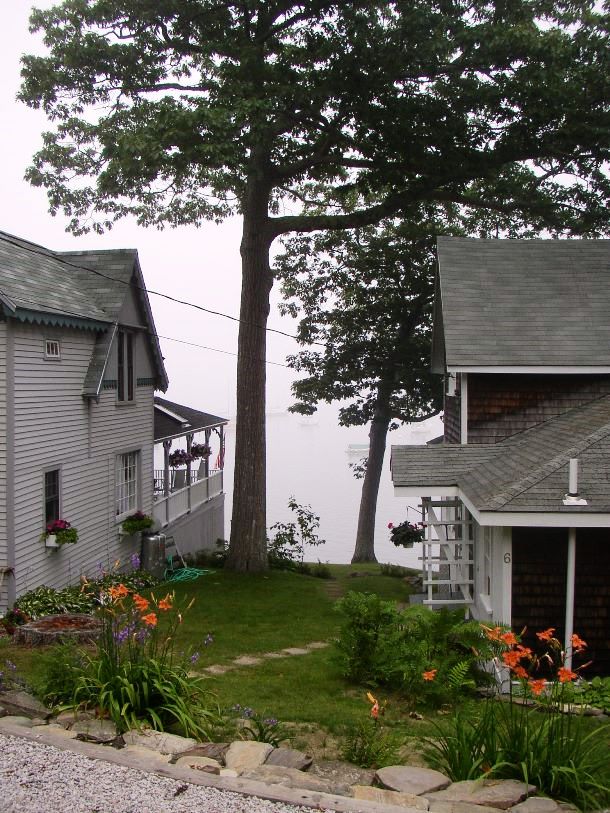
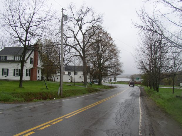
Robbinston

Henrietta Brewer House, now Redclyffe Motel (2013)

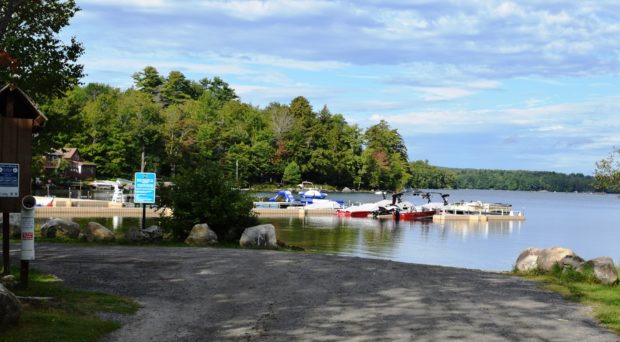
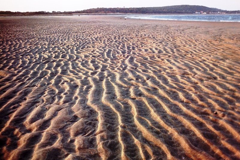
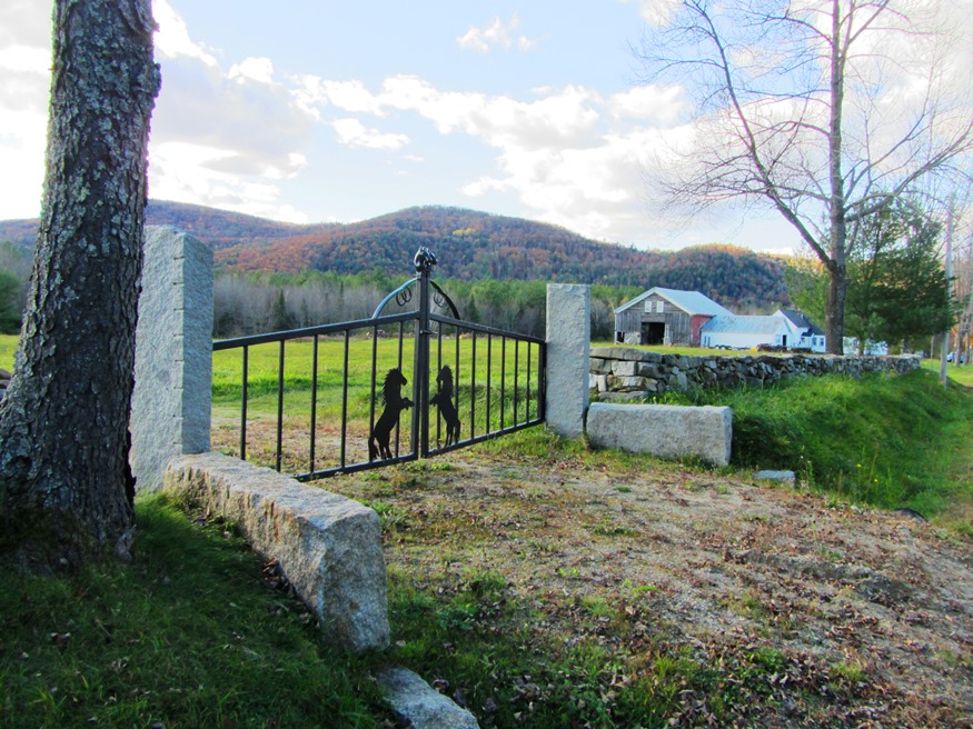
has as its eastern border is the scenic St. Croix River and Passamaquoddy Bay. The main village is on U.S. Route 1 along the shore, where most of its population is located. Most of the western portion is undeveloped, with unimproved roads and several lakes and ponds.

Portland

With its large population, financial and legal services, cultural and historical attractions, and “Old Port” dining and shopping district, the City is the only true metropolitan area in the state. See photos. Portland harbor is a working waterfront serving tankers, tourists, and fisheries, along with recreational boating from year-round and summer residents. Ferries connect the mainland to the many Casco Bay islands. Settled in 1632 and incorporated as a town on July 4, 1786, Portland became a city in 1833.

Plymouth

Just south of Newport off Interstate 95, this rural community is dotted with wetlands, the largest of which is Plymouth Bog. Martin Stream runs from Plymouth Pond to empty into Sebasticook Lake in Newport after joining East Brook. The main village is on the northwestern shore of Plymouth Pond at the junctions of Maine Routes 7 and 69. Its population has remained remarkably stable over 40 years.

Phippsburg

Dunes at Popham Beach in Phippsburg (2006)

Even before it was incorporated, the community had its church (see photos), which was organized in 1765 and built in 1802. The tip of Phippsburg at the mouth of the Kennebec River is the site of the first English attempt at settling New England: the Popham Colony of 1607-1608. Fort Popham and Fort Baldwin, rise as a guardians of land upriver. Coxes Head, which juts out into the Kennebec River.

Peru

Apparent Horse Cemetery on the Ridge Road (2013)

The town is on the south bank of the Androscoggin River just below the Rumford-Mexico-Dixfield area. Its main village is West Peru, across the river from Mexico in the northern portion of the town. See photos. Further south on the Ridge and Valley roads, the rolling rural landscape reveals mountain views, farms and forests. A campground and bed & breakfast may be found at the three-mile long Worthley Pond.

Penobscot

Penobscot River entering Penobscot Bay (2003)

The community takes its name from the Penobscot River, which forms its western boundary. See photos. In the late 19th century the town hosted a mining company, four wood-related mills, a meal and flour mill, and several manufacturers of clothing, barrels, carriages, harnesses and other items. Reached from Orland off U.S. Route 1, the town is served by Maine Routes 15, 175 and 199. Northern Bay, a major spur of the Bagaduce River, splits the southern end of the town.

Parsonsfield

Porter-Parsonsfield Covered Bridge over the Ossipee River (2014)

Kezar Falls, a village on the Ossipee River named for George Kezar, is the largest in the area at the junction of Maine Routes 25 and 160. The community is split between Parsonsfield and Porter across the river, and is governed and taxed separately by the two towns. An early 20th century sanatorium, Maple Crest, was “located among the beautiful Limerick hills, the wild and picturesque outlines of which may be seen in every direction from the building. The view is in itself enough to stimulate the interest and mental activity so important to the cure of all diseases.

Orrington

1807 Orrington Cattle Pound (2003)

The town, on the east bank of the Penobscot River, is a suburb of the Bangor-Brewer area, showing moderate but consistent growth in recent decades. As part of the agricultural tradition throughout Maine is the usually circular, rock walled cattle pound, often used as a site to buy and sell farm animals, and to hold wandering livestock to keep them from destroying crops.

Old Town

The town is heavily influenced by the nearby University of Maine, and the long-lived Old Town Canoe Company maintains an outlet that attracts customers with a broad range of outdoor recreation interests. See photos. DeWitt Field, Old Town’s municipal airport, hash three runways. Since 1669, the area has been the principal home of the Penobscot Indians.

Oakland

Waterville’s commercial strip that is Kennedy Memorial Drive continues into Oakland for about a mile before becoming a more scenic road. See photos. Here the village emerges as it sits at Messalonskee Stream. Long the home of the New England Music Camp, recreational opportunities include access to several of the Belgrade lakes.

Northport

The modest Northport Music Theater features contemporary American musical theater. See photos. In addition to its long coastline facing Islesboro on Penobscot Bay, the town has frontage on the three-mile long Pitcher Pond and all of its Knight Pond. The historic Bayside village, of closely space summer cottages, lies off U.S. Route 1. St. Clair Preserve protects nearly all of unspoiled Knight’s Pond with 304 acres of mixed forest, bogs, swamps and fields has been home to black bears, bobcats, fishers, foxes, and deer.

North Yarmouth

North Yarmouth’s rapidly growing community, nearly triplng its population since 1970, is within easy reach of Yarmouth, Brunswick, and the greater Portland area. King William’s War started here when Indians attacked the settlement in the late 1680’s.

New Sweden

Little Madawaska River, a tributary of the Aroostook River, crossing Jemtland Road in New Sweden (2016)

After the Civil War, Maine, like other states, was losing population to the great westward migration. A conscious public policy of encouraging Swedish immigration resulted in the very successful settlement of Swedes in New Sweden. Just northwest of Caribou on Maine Route 161, the town is just south of Stockholm.

New Sharon

1916 Bridge over the Sandy River in New Sharon (2003)

just east of Farmington, has been growing consistently in population over the past four decades. New Sharon village straddles the Sandy River, which winds through from Farmington on its way to Starks and then Norridgewock where it enters the Kennebec River. The 1916 steel bridge, now retired from service, crosses the river at the end of the main street.

New Portland

Bridge over the Carrabassett River in New Portland (2017)

North New Portland hosts Morton’s Country Store, the Community Church, and Chase Memorial Hall. This village lies at the junction of routes 146 and 16, with Gilman Stream, and its Dam, flowing through it. See photos. The Carrabassett River, with its spectacular rocky bed, passes through East New Portland Village and under an arch bridge.

Movies

Pizza Parlor in Skowhegan Redesigned

“These are feature films with Maine-related themes or locations. Please note that many titles are not known to survive, or are not available.” — Karan Sheldon, Northeast Historic Film As the Earth Turns, 1934 Back to the Woods, 1918 Beans of Egypt Maine, The, 1994 Bed and Breakfast, 1992 Behind the Door, 1919 Behind Masks,…

Montville

The town seems a series of “corners” villages on Maine Route 220 from north to south: Poland’s, Bean’s, White’s, McFarland’s, and Clark’s. See photos. The Frye Mountain (Gene Letourneau) Wildlife Management Area is located in the northeast corner of the town near Poland’s Corner village. This growing community is easily linked to Belfast and Augusta via Maine Route 3.

Monroe

sign: "Gesner Park, Town of Monroe" (2003)

Several small streams, marshes, and ponds fill the landscape in this still rural community. In 1880, with a population of 1,366, Monroe supported thirteen schoolhouses. See photos. In 2003 the Town office building also housed the library. Monroe is served by Maine Routes 139, between Brooks and Winterport, and 141 from Swanville.