Winthrop

Maranacook Lake in Winthrop (2013)

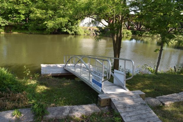
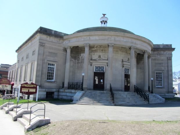
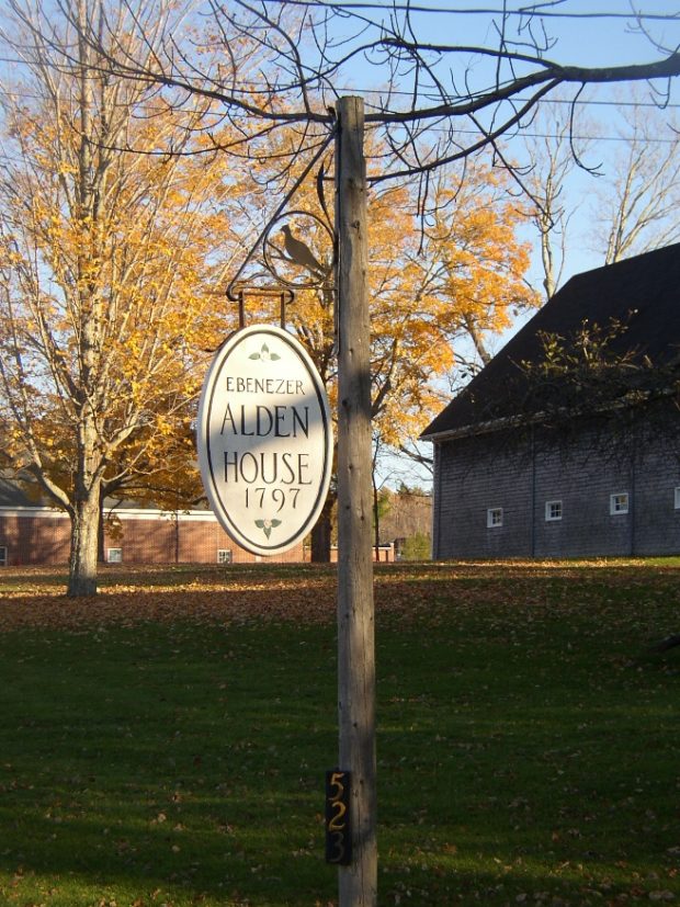
n addition to its recreational attractions, the town is a suburban community serving both the Augusta and Lewiston-Auburn areas. See photos. Winthrop is the birthplace in 1899 of Delphia Louis “Del” Bissonette, who played for the Brooklyn Dodgers.

Winterport

Marsh Bay on the Penobscot River just South of Winterport Village (2003)

Winterport is primarily a rural community with its land area extending ten miles westward from the river. See photos. An attraction along Route 139 among the farms and woods is the Winterport Dragway, featuring auto drag races with specialty vehicles and “street” vehicles. In recent years a marina has expanded and an export business has been established on the river. A dockside freezer operation enabled the storage and shipping of commodities such as fish and chicken.

Windsor

Location Map for Windsor

Windsor’s village center clusters around the town office, the fire station, the Post Office, and Hussey’s General Store at the intersection of Maine Routes 32 and 105. The Windsor Fair attracts crowds each fall to this once agricultural, but increasingly residential, community east of Augusta.

Wilton

Location Map for Wilton

Located on the shore of Wilson Pond, the main village lies at the intersection of U.S. Route 2 and Maine Routes 4 and 156.. See photos. George H. Bass began making boots for farmers in 1876. For more than 100 years, the G. H. Bass company made footwear in Wilton.

Whitefield

Whitefield is west of Gardiner on Route 126 and north of Wiscasset on Route 218. See photos. The Sheepscot River flows through the town and is a popular canoe trip opportunity. As do many Maine towns with scattered villages, Whitefield has several volunteer fire departments: Coopers Mills, Kings Mills, and North Whitefield. St. Denis Catholic Church, west of North Whitefield on Maine Route 218, is on the National Register of Historic Places.

Westbrook

Immediately west of Portland but part of the Portland metropolitan area, Westbrook is home to industrial, professional, and commercial enterprises, as well as to a campus of Husson University. Flowing through the city is the Presumpscot River, whose name means “many rough places river. ” Now the 12th largest community in Maine by population, it was edged out of its 1990 11th largest position by Saco in the 2000 Census.

Weld

Webb Beach Toys in Autumn (2017)

Webb Lake is the main attraction to this recreational area, with Mount Blue State Park located on both sides of the lake. The main village is located on the eastern shore of the lake, at the junction of Maine Routes 142 and 156. Weld is the gateway to Tumbledown Mountain and Little Jackson Mountain, both popular hiking destinations in Township 6 North of Weld.

Waterville

Waterville is a regional service center for northern Kennebec and southern Somerset counties. See photos. Its downtown and the Kennedy Memorial Drive commercial strip provide business and professional services. It has been home to several U.S. Senators and Maine governors. Colby College is here.

Waterford

Crooked River in East Waterford (2003)

The main village (see photos) lies on the shore of Keoka Lake, and State Routes 35, 37 and 118 provide easy access to lakesides, and to the larger communities to the south. The Artemis Ward House commemorates the birthplace of Charles Farrar Browne, the 19th century humorist. North Waterford, at the junction of Routes 35 and 118, is home to the town’s fairgrounds. The general store there provides gas and basic groceries.

Washburn, Cadwallader Colden

(1818-1882), brother of Elihu Benjamin Washburn,   Israel Washburn Jr., and   William Drew Washburn, was born in   Livermore on April 22, 1818. (See more on the Washburn family at Norlands.) No other family ever sent four brothers to the United States Congress from four different states–or from seven brothers produced four congressmen, two governors, one senator,…

Warren

Farm on Route 235 on the shore of Seven Tree Pond (2003)

The village lies off the heavily traveled highways: U.S. Route 1 and Maine Routes 90, 131, and 235. See photos. Adjacent to Thomaston, long a synonym for “State Prison,” Warren is now the site of its replacement. Meadow Mountain is a 259 acre town forest that serves as a nature preserve.

Vienna

Castle Island Area in Vienna at Long Pond from the Castle Island Road (2012)

Year Population 1970 205 1980 454 1990 417 2000 527 2010 570 Geographic Data N. Latitude 44:33:17 W. Longitude 70:00:08 Maine House District 76 Maine Senate District 17 Congress District 1 Area sq. mi. (total)25.4 Area sq. mi. (land) 24.2 Population/sq.mi. (land) 23.6 County: Kennebec Total=land+water; Land=land only Castle Island Area in Vienna at Long…

Union

Union (see photos) became the subject of Ben Ames Williams’ historical novel Come Spring, which chronicles the early settlement of the town through the lives of the Robbins family, whose home is now that of the Vose Library and the Union Historical Society. Most of the 591-acre Crawford Pond and the 523-acre Seven Tree Pond are shared with Warren to the south.

Troy

Classic Barn in Troy (2006)

Maine Route 220 joins U.S. Route 202/Maine Route 9 at Green’s Corner near the shore of Unity Pond. Carleton Pond, Bog, and Stream are accessible from Route 220 in the north end of town. The 1840 Troy Union Meeting House is a classic example of a type of meeting house or church in Maine in the four decades prior to the Civil War.

Tremont

Bass Harbor Light with the Gott Islands across the Water (2003)

Tremont’s Bass Harbor is the terminal for the Swan’s Island ferry and the Frenchboro ferry. See photos. Located on Mount Desert Island, it also hosts a much photographed lighthouse on its rocky shore and two nature preserves. Tremont’s cove-rich shoreline abuts Blue Hill Bay, which includes the town’s Tinker and Hardwood islands, among others.

Togus

National Home for Disabled Soldiers (Eastern Branch) c. 1880

                                                                    The National Home for Disabled Soldiers (Eastern Branch) Togus c. 1880 The Togus Veterans Administration Medical and Regional Office Center, as…

Thomaston

Just southwest of Rockland, the community lies at the point where the St. George River broadens into a long narrow bay. Ship building and shipping were the basis of its fortune and that of the two millionaires (of seven in the whole country) who lived there in 1840. Thomaston has many surviving fine homes, developed by financially successful residents, on its main street.