Garfield
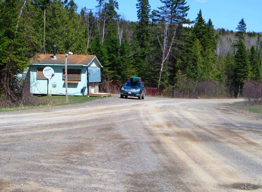
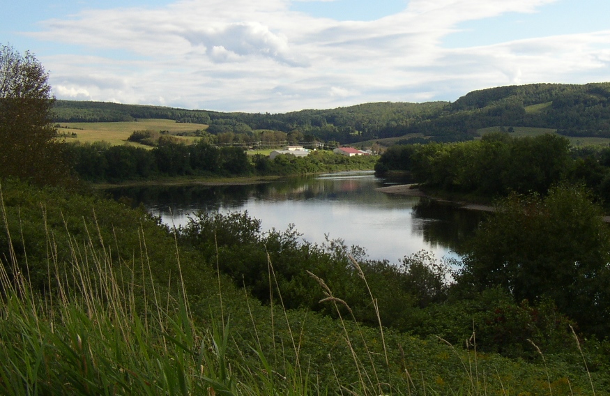
has had population loss from 1970 through 2010. Realty Road runs east-west across the northern portion beginning at the Ashland town line. A hunting camp and lodge, and a section of Maine Public Reserved Land, are here. See map. Aroostook County’s Machias River flows through the plantation to join the Aroostook River in Ashland.
")

")

")