Hammond

Location Map for Hammond

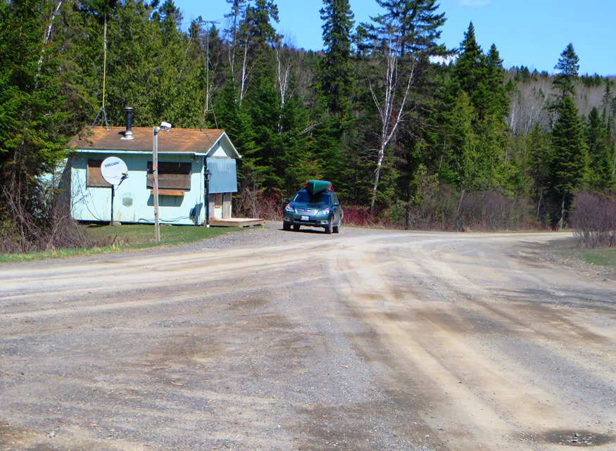
Hammond is west of Littleton and northwest of Houlton in southern Aroostook County, clearly “off the beaten path” of U.S. Route 1. However, it has sustained, and increased, its small population over four decades. Access to the public “Hammond Lot” is through the small village in the southeast near Houlton. B stream runs west to east through the southern portion of the township, from B Pond through B Dam in the east.

Hallowell

Just one of many early "Grand Houses" in Historic Hallowell (2019)

Early in the 19th century, Hallowell on the Kennebec has become an important commercial center in the District of Maine. River ice and shipbuilding were staple industries. Granite quarries were active and productive in the 19th century, with one on “Granite Hill.” Maine’s smallest city in area has a vital downtown with antique and book shops, along with restaurants. See photos. The first settler arrived in 1762; surveyor Ephraim Ballard, in 1776; his wife Martha, the next year. Maine’s first Anti-Slavery Society was founded here in 1833.

Guilford

Park in Guilford with mill buildings downtown (2002)

The Piscataquis River flows through the main village with neighboring Sangerville, formed with some land from Guilford, on the southern shore. The town was long a center for textile production. The late 20th century was marked by fires, floods, and economic instability, but the early 21st century opened with efforts at renewal with a river festival and downtown revtlalization.

Greenwood

Located just east of Bethel on Maine Route 26, the Village of Locke Mills in the town of Greenwood lies on the shore of Round Pond which is linked to nearby North Pond and South Pond. One early resident was L. L. Bean, who was born here. The town has shown consistent, moderate population growth over the past forty years.

Greenville

Plaque noting the early settlement of Greenville and the site of its first school

On the shore of Moosehead Lake, it serves as the gateway to Lily Bay State Park and to the upper reaches of the lake via combined Maine Routes 6 and 15. See video and photos. It is also an access point for Elephant Mountain and the preserved site of a B-52 bomber crash in 1963. In 1853 Henry David Thoreau met his guide, Joseph Atteon, in Greenville before boarding a steamboat passing Mount Kineo, to Northeast Carry for the portage to the West Branch of the Penobscot River.

Greenfield

Greenfield Baptist Church (2020)

was a town in Penobscot County, incorporated on January 29, 1834 from Greenfield Plantation. Even though it was growing in population, Greenfield relinquished its status as a town in 1993 and is now an unorganized township.

Greene

Sawyer Road with Horse Farms (2013)

With the Androscoggin River as its west boundary, the town’s east lies substantially along Sabattus Pond. The more densely populated area surrounds Route 202 near Greene Village. South from there is a rural landscape and views of Sabattus Pond. Inventor Leonard Norcross lived here in the early 19th century as a young boy. Since 1970 the increasingly suburban community in the Lewiston-Auburn area has more than doubled its population.

Greenbush

Helen S. Dunn School (2012)

Located on the east bank of the Penobscot River, Greenbush includes several islands, the largest of which, Olamon, abuts Olamon Stream as it empties into the river. Olamon, the name of a village near the island, means “red paint.” The Indians traveled up the stream to retrieve the red ochre they used as paint for decorating their bodies. Greenbush village is on the River and U.S. Route 2. A smaller village, Cardville, is in the middle of the township on the Cardville Road.

Gray

While Gray has a storied history, the center of Gray village is a busy contemporary place, the crossroads of 5 highways. See video and photos. In the 1770s it was attacked by Indians, destroying cattle, the meetinghouse and all houses. Home to the historic Pennell Institute and a suburb of the Portland area, Gray includes most of Little Sebago Lake and Crystal Lake.

Grand Lake Stream

The sparsely populated area has its main village, Grand Lake Stream, on the stream of the same name that connects West Grand Lake with Big Lake to the south. The surrounding lakes offer a fishing and wilderness experience prized by those who visit them.

Grand Isle

Our Lady of Mount Carmel (2003)

The Name commemorates the large and fertile island within the town and in the middle of the St. John River just south of the village of Lille. Lille is home to an extraordinary Catholic church, a nationally recognized historic place. See photos. U.S. Route 1 and the Bangor and Aroostook Railroad both hug the Maine side of the St. John River.

Gouldsboro

First inhabited by Europeans in 1700, the town occupies the upper portion of a peninsular stretching from Frenchman’s Bay on the west to West Bay and Gouldsboro Bay on the east. a town of working fishermen and summer visitors, its harbors, such as Birch, Prospect and tiny Corea, offer welcome protection to coastal vessels.

Gorham

University of Southern Maine, Gorham Campus (2001)

First called Narragansett Number 7, it was granted to men who fought in the Narragansett War of 1675. Gorham Academy, founded 1803, became Western State Normal School, University of Maine at Gorham, and now Gorham Campus of the University of Southern Maine. The home of former governor Percival P. Baxter has become a museum of Indian artifacts and rare coins. Several other notables lived here.

Glenburn

Model Village of Glenburn on the Sparkle Pond Road in Glenburn (2014)

The town is becoming a major suburb of the Bangor area with population expanding nearly four-fold in the 40 years 1970-2010, and growing 16 percent 2000-2010. Glenburn’s school contains the public library. See photos. In Penobscot County, it was incorporated in 1822 under the name of Dutton, changed to Glenburn in 1837. Dutton held a major interest in the original township, became a Judge of Probate and a founder of Bangor Theological Seminary.

Gilead

Sign: Welcome to The Town of Gilead (2013)

the Androscoggin River splits Gilead down the middle from west to east, flowing between two mountain ranges. See photos. Only one bridge crosses at the village. In 1973 the U.S. EPA was documenting pollution in the river. A brief canoe trip makes about five of its six miles through Gilead to West Bethel, with spectacular views of the Presidential Range.

Georgetown

Reid State Park, with Snack Shack and path to the Beach (2010)

Settled in the early 1600s, it shares its early history with nearby Phippsburg and Arrowsic. See photos. It is home to Reid State Park and to the summer residence of sculptor William and artist Marguerite Zorach. Their daughter, artist Dahlov Ipcar, has also been a resident. The Josephine Newman Sanctuary and the Ledgewood nature preserve are here.

Garland

Boat Launch at Garland Pond off Route 94, near swimming area. (2014)

Garland’s 1891 Grange Hall, built in 1891 is one of the oldest surviving 19th century structures of its type, having both Greek Revival and Italianate elements, and simplicity. The Kenduskeag Stream flows from Garland Pond to the Penobscot River at Bangor. Lyndon Oak was a prominent community member. The town was incorporated in 1811.

Garfield

North Maine Woods Checkpoint on American Realty Road in Garfield Plantation (2015)

has had population loss from 1970 through 2010. Realty Road runs east-west across the northern portion beginning at the Ashland town line. A hunting camp and lodge, and a section of Maine Public Reserved Land, are here. See map. Aroostook County’s Machias River flows through the plantation to join the Aroostook River in Ashland.

Gardiner

The Oaklands. Robert Hallowell Gardiner estate (2017)

on the Kennebec River, it is named for Dr. Sylvester Gardiner, an early proprietor and developer who brought settlers too the area in 1754. See photos. Notable residents included Revolutionary War General Henry Dearborn, Dr. Gideon Stinson Palmer, author Laura E. Richards, and poet Edwin Arlington Robinson.

Fryeburg

White Mountains in New Hampshire across a Field in Fryeburg on Route 113 (2013)

a town in Oxford County, incorporated in 1777 on the site of an Indian settlement known as Pequawket. See photos. Daniel Webster was a teacher at Fryeburg Academy in 1802. Native American Molly Ockett was born about 1740 into the Pigwacket tribe. The Battle of Lovewell’s Pond was one long day in 1725, during which the leader of the white volunteers, Captain Lovewell, was slain along with the Indian leader Pangus.