Mount Vernon

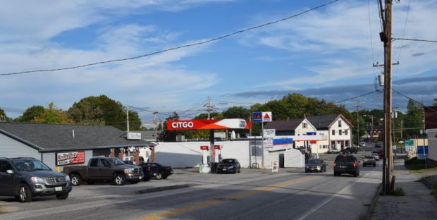
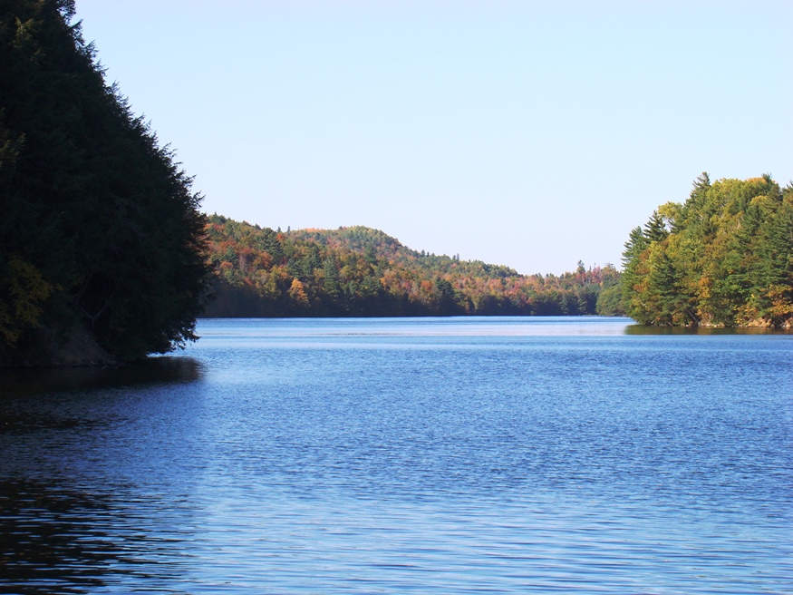
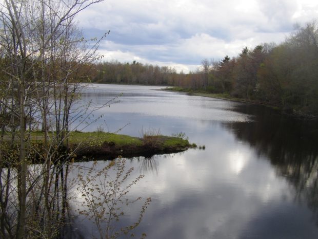
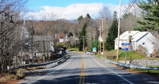
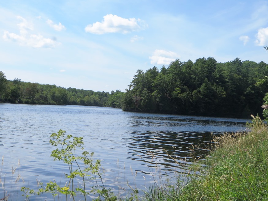
The village of West Mount Vernon, with a small church and fire department, is located at the north end of Echo Lake and the south end of Taylor Pond. See photos. In 1926, the novelist Erskine Caldwell moved to an old farmhouse in Mount Vernon, where he lived until the early 1930’s. The main village, Mount Vernon, is in the north of the town on Minnehonk Lake.

Moscow

Moscow where Benedict Arnold

The town hosts the Wyman Hydroelectric Station, with its impressive Wyman Dam and its consequence: Wyman Lake, a bulge in the Kennebec River extending about six miles to the north between Moscow and Pleasant Ridge. See photos. Bingham and Moscow constitute a single population center at the junction of U.S. Route 201 (leading north to the Province of Quebec).

Moro Plantation

Katahdin Lodge on Route 11 in Moro Plantation (2014)

is located about 24 miles west of Houlton, and north of Patten on Maine Route 11. See photos. Rockabema Lake, the source of the West Branch of the Mattawamkeag River, occupies the north central portion of the township. A Scattering of small ponds lie just north of the lake, providing a fine source of fishing. The heavily wooded area supports hunting, guides, and hunting lodges.

Moose River

Historic Samuel Holden House [remaining portion] (2019)

Jackman’s Main Street (U.S. Route 201/Maine Route 6) merges with that of Moose River. See photos. The two towns, otherwise isolated, share a single community. The historic Moose River Congregational Church is in Jackman. The Town Office and most commercial activity lies along U.S. Route 201/Maine Route 6. The Scott Road (or the Moose River Road) proceeds east into the heart of the township.

Monticello

Monticello Grange (2001)

The town’s has economy has traditionally been based on agriculture, especially potatoes. See photos. With the decline of potato farming, Monticello’s population has declined. The town’s has economy has traditionally been based on agriculture, especially potatoes, but also hay and oats in the 19th century. With the decline of potato farming, Monticello’s population has declined. It isocated about twelve miles north of Houlton on U.S. Route 1.

Monroe

sign: "Gesner Park, Town of Monroe" (2003)

Several small streams, marshes, and ponds fill the landscape in this still rural community. In 1880, with a population of 1,366, Monroe supported thirteen schoolhouses. See photos. In 2003 the Town office building also housed the library. Monroe is served by Maine Routes 139, between Brooks and Winterport, and 141 from Swanville.

Minot

Minot a growing community in recent decades, has become a residential commuter area for nearby Lewiston-Auburn with its location just west of Auburn. West Minot village is tucked away at the northwest edge of the community at the junction of Maine routes 119 and 124, adjacent to Hebron. The village once had an active railroad station and a grist mill. The old grange hall, community church, and railroad station keep the flavor of earlier times.

Milford

Sunkhaze Stream near U.S. Route 2 (2005)

The Bodwell Water Power Company Plant is a historic structure and landmark on the banks of the Penobscot River. The Sunkhaze Meadows National Wildlife Refuge combines bog, marsh, floodplain forest and the state’s second largest peatland. The town, across the river from Old Town, is a moderately growing residential area near the greater Bangor area and the University of Maine in Orono.

Milbridge

The town lies at the mouth of the Narraguagus River where it empties into the Bay of the same name. U.S. Route 1 splits here with Route 1A. The town lies at the mouth of the Narraguagus River where it empties into the Bay of the same name. Blueberries and the Wyman Company in particular are important elements of the local economy. Petit Manan National Wildlife Refuge is here.

Mexico

Stack of Paper Mill in Rumford near the Androscoggin River from the Mexico-Rumford Bridge (2013)

The town, across the Swift River and the Androscoggin River from Rumford, is home to many workers in the Rumford paper mill. See photos. In the 1960’s, the mill employed over 3,000 people; by 2009 it employed less than 600. The crash in this and other manufacturing has contributed to the sharp population decline Mexico has experienced since 1970.

Merrill

East Branch of the Mattawamkeag River in Merrill (2015)

The town is served by Maine Route 212 just west of Smyrna. The village of Smyrna Mills straddles the adjoining boundaries of the two towns. See photos. The Merrill Millstream Park was created from land, acquired in 1997, between the East Branch of the Mattawamkeag River and Route 212.

Mercer

sign: "Mercer Bog, Wildlife Management Area . . . ." (2016)

With forty-one residents in 1800, Mercer exploded to a population of 1,432 (its peak) by 1840. Soon thereafter, Maine’s first starch factory was established. The library and the Grange are two surviving organizations formed in the late 19th century as the population continued to decline. See photos. The town lies on U.S. Route 2 just west of Norridgewock with frontage on North Pond at its southeast corner.

Medford

Apparent Ruins of an Old Dam on Cold Stream in Medford (2005)

Medford Center village is the site of the very modest town office, the park with the veterans memorial, and a small church. See photos. Cold Stream, which runs through the village, provided power for a grist mill in the nineteenth century.

Meddybemps

Meddybemps Lake from Route 191 (2004)

A boat launch accommodating trailers is located in Meddybemps village at the south end of the lake, which was once the site of a Native American village. Meddybemps Heath is located on near the lake in the northwest corner of the township. See photo. The Ntolonapemk, Eastern Surplus Superfund Site is located in the town.

Mechanic Falls

Ever since a paper mill was established on the Little Androscoggin River in 1850, the town has been part of Maine’s paper making economy. See photos. One of the inventors of the Stanley Steamer automobile, Freeland O. Stanley, built some models here and was the town’s first high school principal.

Maxfield

Maxfield is definitely “off the beaten path” in northeastern Penobscot County. No main route passes through it and the town is split by the Piscataquis River with no bridge spanning it within the town. A bridge in nearby Howland crosses the river just before it empties into the Penobscot.