Swanville
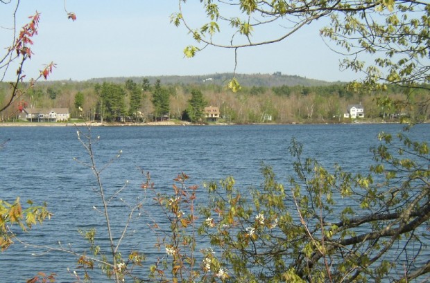
The town is an easy drive to Belfast south on Maine Route 141. Hurd’s Pond is a twenty-five acre water body surrounded by 75 acres of sedge meadow and freshwater wetlands. Frequented by many species of migrating and breeding waterfowl.
"Those seeking cold, hard statistics on Maine communities won't be disappointed." —Bangor Daily News


including ponds

The town is an easy drive to Belfast south on Maine Route 141. Hurd’s Pond is a twenty-five acre water body surrounded by 75 acres of sedge meadow and freshwater wetlands. Frequented by many species of migrating and breeding waterfowl.
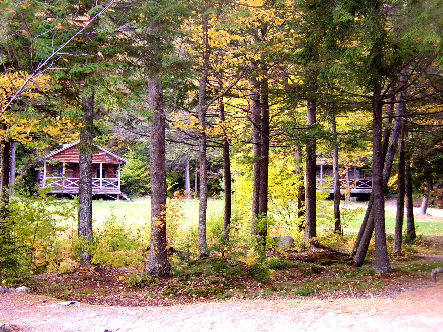
Though named for the Massachusetts town of the same name, the stony landscape also reflects its title. An excellent mountain climbing region, it is located near the New Hampshire Border in the White Mountain National Forest. East Stoneham is the principal village. The town is home to Camp Susan L. Curtis, named for the daughter of the former Governor. The closest Maine Route is number 11 where, at North Lovell, one may venture into Stoneham’s secondary roads.
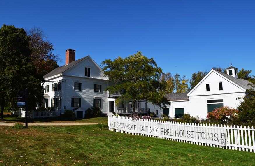
Named in honor of Captain Miles Standish, the military leader of the Plymouth Colony, the town has a very long shoreline on Sebago Lake in its southwest corner, including its Lower Bay. See photos. In the 19th century, the Oxford-Cumberland Canal allowed passage of boats from Harrison to Portland. Steep Falls was a thriving village historically, with its excellent water power on the Saco River and the railroad station in its midst. Both a recreational area and suburb of Portland, the town is served by six Maine highway routes.
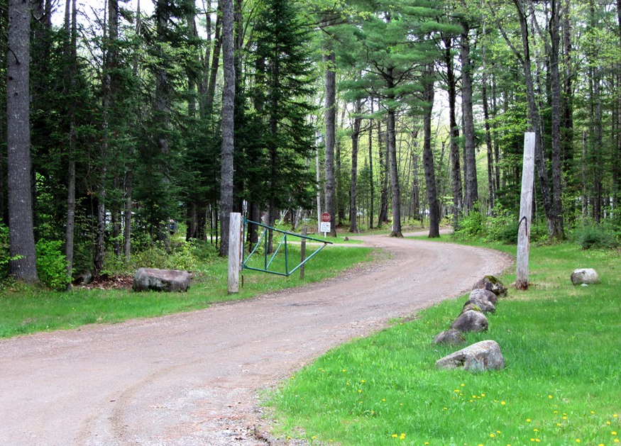
Just 20 miles northwest of Bangor and adjacent to Newport, the town is a growing, but still rural community. Settled in 1800, it was soon organized as a plantation for election purposes. The post office opened in 1829. In the 1880’s Stetson was home to three sawmills, a grist mill, Stetson Cheese Factory, and a carriage factory.
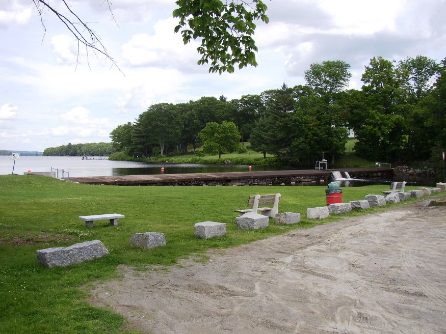
At the junction of Maine Routes 23, 43 and 152, the village lies at the southwestern tip of Indian Pond. The three and one-half mile Pond (sometimes called Indian Lake, or Big Indian Lake) is maintained by a dam at the park in the main village.
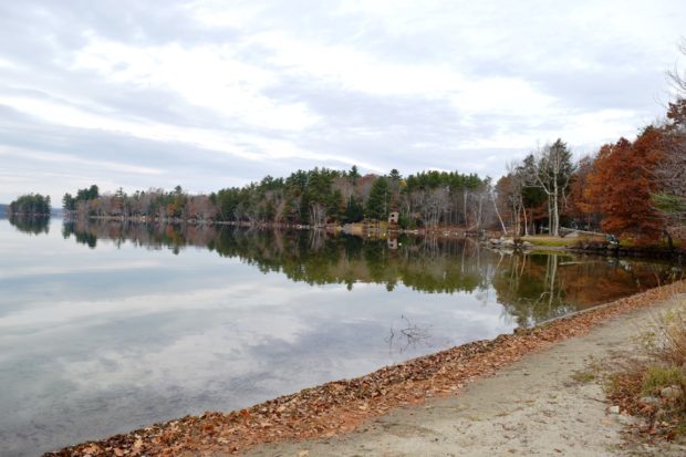
A summer recreational center, it hosts the bulk of two of the Belgrade Lakes: North Pond and East Pond. East Pond is home to several summer camps for young people, some that cater to adults, and some that are individually owned summer cottages. See photos. The main village is on the eastern shore of North Pond, where a sandy beach attracts area residents and summer visitors.
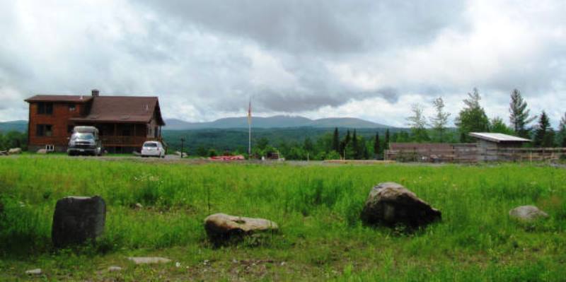
Located just south of Greenville on Maine combined Routes 6 and 15, its main village, Shirley Mills (see photos), grew up around early 19th century clapboard and saw mills, using water from the Piscataquis River. Along the east side of the pond, the B&A Railroad North Road runs north along the river. It was created from the old rail bed.
Maine Route 11 moves up from Sanford through the villages of Emery Mills, Shapleigh, and North Shapleigh near the lake shores. See photos. Shapleigh Woods, managed by The Nature Conservancy, is a 265-acre nature preserve.
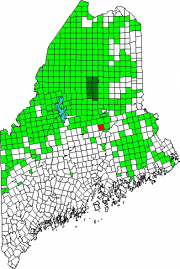
The small Seboeis village is nearly at the end of the Seboeis Road, which leads north in Howland from the North Howland Road. The village is less than a mile from the shore of South Branch Lake, where there is a boat launch. Seboeis Public Reserved Land of 15,628 acres provides opportunities for boating, camping, fishing, hunting, snowmobiling, and watching wildlife.
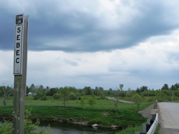
Several small ponds dot the landscape, including the 28-acre Garland Pond. Located between Dover-Foxcroft to the west and Milo to the east, the town is connected to both by Maine combined Route 6 and 16, and by the Piscataquis River.
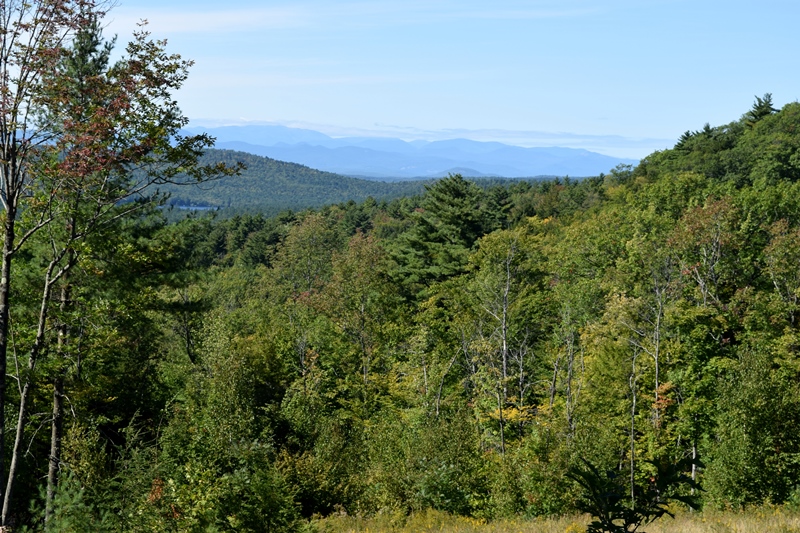
Several villages dot the towns landscape: North, East, and West Sebago; and Sebago Center; among others. See photos. The village of East Sebago hosts the town’s elementary school, veterans memorial park, and public library. Along with its substantial shoreline on the Lake, the town has a hiking trail to the summit of the 1392 foot Douglas Mountain, with a nature preserve overlooking the Lake.
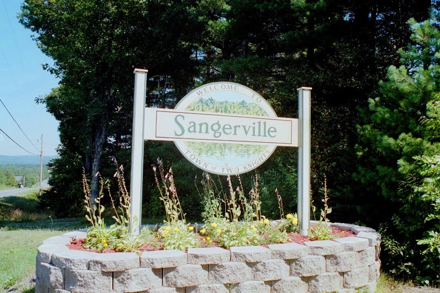
Maine Route 23 passes through on its way from Guilford to Dexter. Bronze plaques mark the birthplaces of inventor Sir Hiram S. Maxim and mining tycoon Sir Harry Oakes. Sangerville has three ponds Manhanock, Center and Marr ponds.
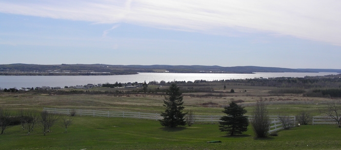
Settled by Acadians, the name derives from the parish church that was established in 1890. Farming and lumbering have been this St. John Valley area town’s historic economic base. Located on the northwest shore of Long Lake, Maine Route 162 from Frenchville passes through the main village, then hugs the lake shore and continues along nearby Mud Lake.
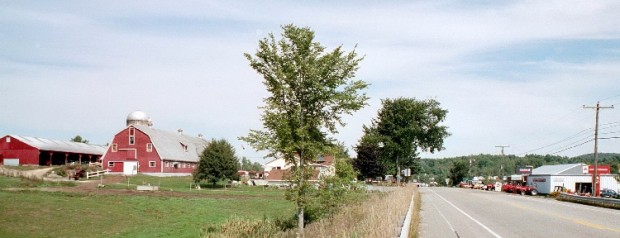
just east of Lewiston, the south end of Sabattus Pond is part of the urban center. The name is that of a Native American chief of the Anasagunticook tribe. Located just east of Lewiston, most of the town’s population appears on a map as an extension of that City, so closely are they located. That portion of the town at the south end of Sabattus Pond is part of the urban center.
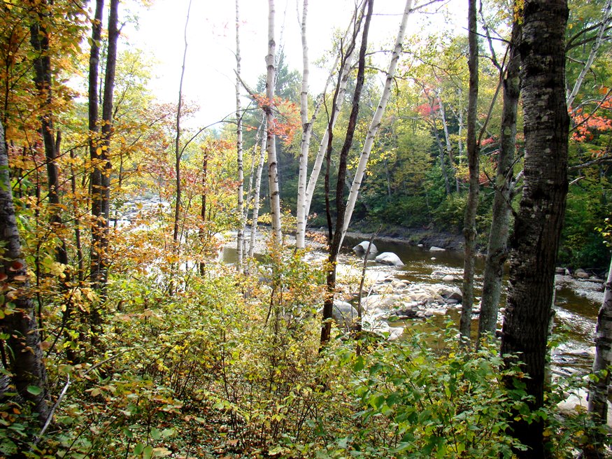
Several miles north of the Rumford-Mexico area on Maine Routes 17 and 120, the community (see photos) is known for its mineral deposits, especially accessible for amateur rock hunters. It has substantial frontage on Ellis Pond (also known as Silver Lake and Roxbury Pond) and on the Swift River. A wind farm is on Record Hill.
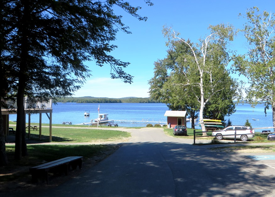
The town has substantial frontage on Long Pond (at right) and Great Pond in the Belgrade Lakes region, with many camping, boating, and other recreational opportunities. The town line is adjacent to the small village of Belgrade Lakes in the town of Belgrade.
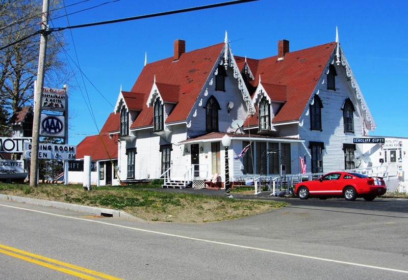
has as its eastern border is the scenic St. Croix River and Passamaquoddy Bay. The main village is on U.S. Route 1 along the shore, where most of its population is located. Most of the western portion is undeveloped, with unimproved roads and several lakes and ponds.
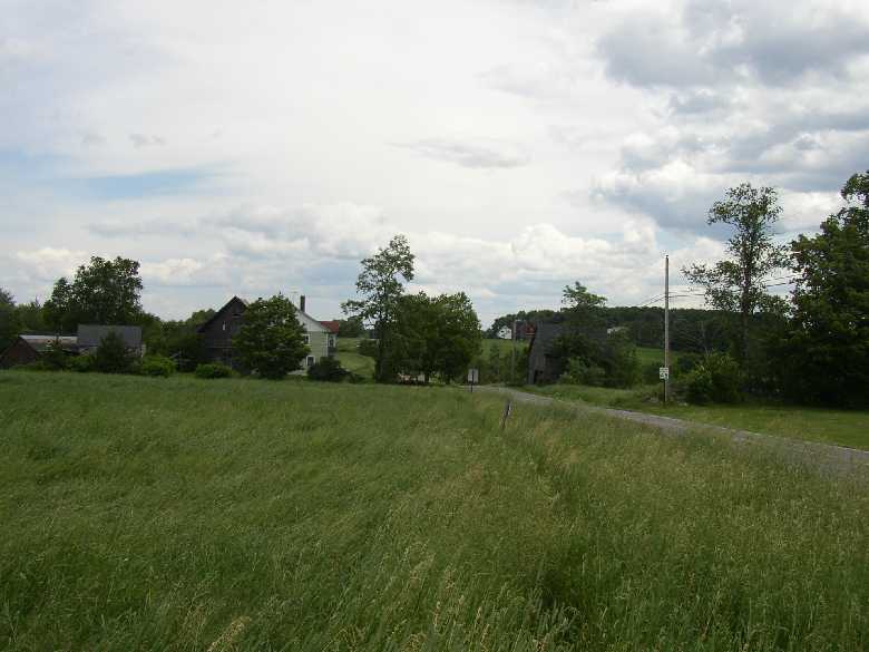
Ripley Pond, once known as Rogers Pond, extends two miles north to south. Ripley Village is at the southern end. The outlet of the pond, Ripley Stream, was the site of two sawmills and a grist mill in the late 19th century. Ripley Village is at the southern end. West Ripley village is at the junction of West Ripley Road and Todds Corner Road.
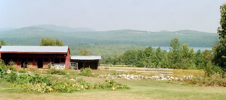
Kents Hill School was established here initially as the Maine Wesleyan Seminary in 1824. See photos. Readfield is the birthplace of two governors: Jonathan G. Hunton and Dr. John Hubbard. Another governor and member of Congress, Anson P. Morrill, lived at Readfield Corners. Its Kennebec County Fair has been held annually since 1856. Meeting House Common was the site of militia musters in the 1800’s.
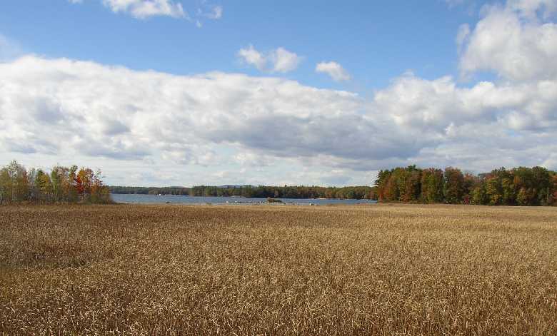
The main village is located at the head of the large, well protected, Jordan Bay on the shore of Sebago Lake. Adjacent Raymond Neck extends over four miles into the Lake to form the Bay. Raymond’s “welcome” sign entices fishing enthusiasts to the “Home of the Landlocked Salmon,” which inhabit the lake. Nathaniel Hawthorne spent summers at his mother’s home.