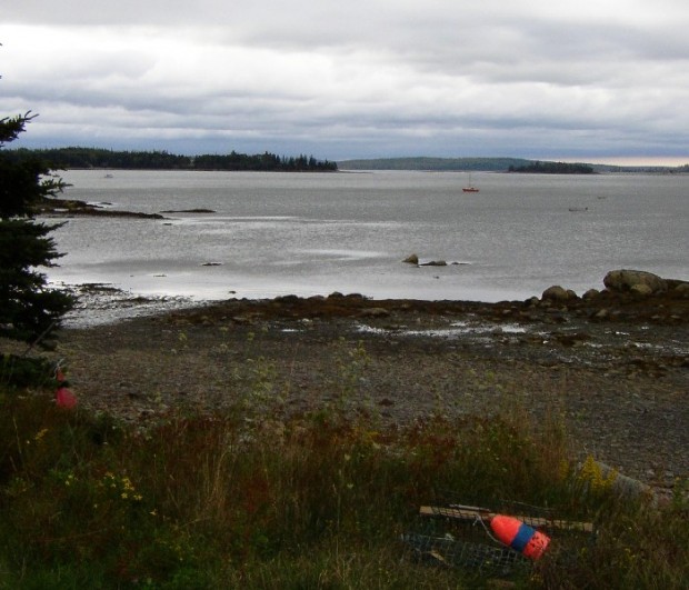
Sullivan

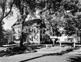
Sullivan Harbor (2004)

Once a center of granite production, this summer resort community on U.S. Route 1 and Maine Route 200 overlooks Frenchman’s Bay at Sullivan Harbor. The nature preserve at Donnell Pond, Black Mountain, and Tunk Lake in Sullivan is owned and managed by the Maine Bureau of Public Lands.

Strong

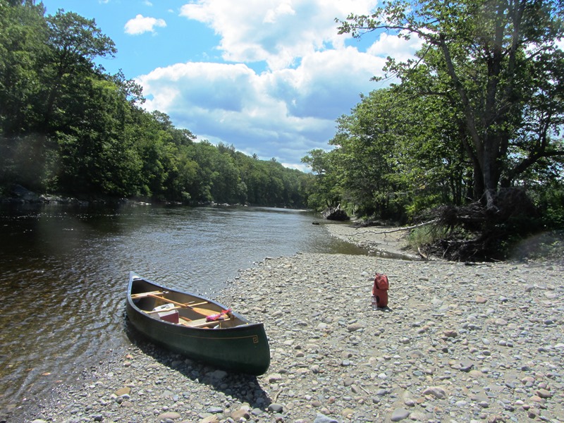
Canoe on the Shore of the Sandy River in Strong (2013)

The main village is located about eleven miles north of Farmington on a big bend in the Sandy River at the junction of Maine Routes 4, 145, 149 and 234. Maine’s Republican Party was founded here on August 7, 1854 by a coalition of anti-slavery Democrats, other Democrats, and Whigs.

Stow

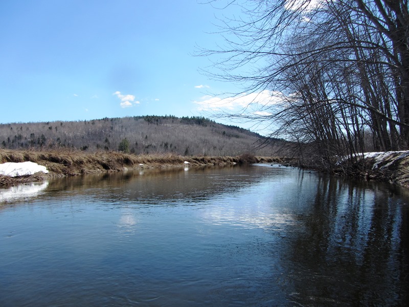
Cold River in Stow (2014)

Stow borders New Hampshire, which may be reached by Maine Route 113 north from Fryeburg. It was once the home of the Pequawket Indians, who traveled the Pequawket Trail to Biddeford Pool during the summers to fish and gather shellfish. The Cold River enters the state in Stow and flows south through most of this narrow north-south shaped town.

Stoneham

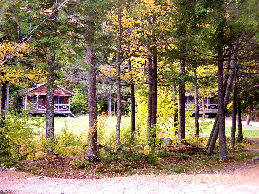
Log cottages at Camp Susan Curtis at Trout Lake in North Lovell (2004)

Though named for the Massachusetts town of the same name, the stony landscape also reflects its title. An excellent mountain climbing region, it is located near the New Hampshire Border in the White Mountain National Forest. East Stoneham is the principal village. The town is home to Camp Susan L. Curtis, named for the daughter of the former Governor. The closest Maine Route is number 11 where, at North Lovell, one may venture into Stoneham’s secondary roads.