Sandy Bay Township

Sandy Stream Mountain in Sandy Bay Township East Side of Route 201 (2004)

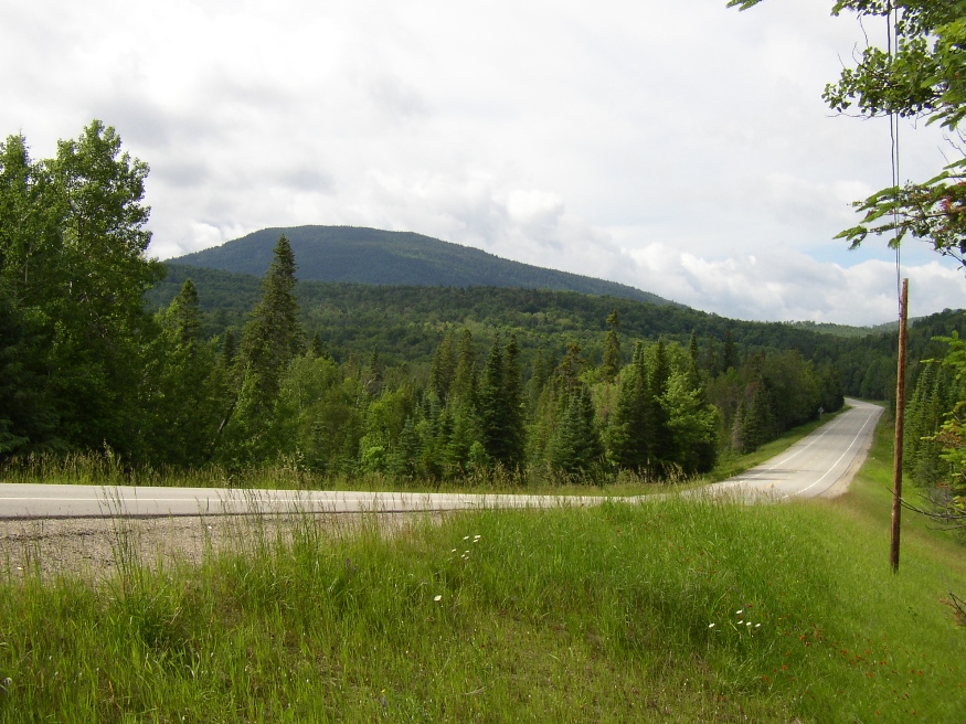
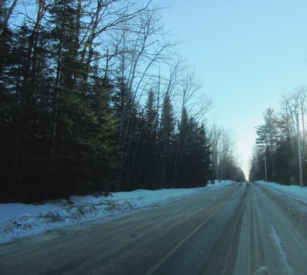
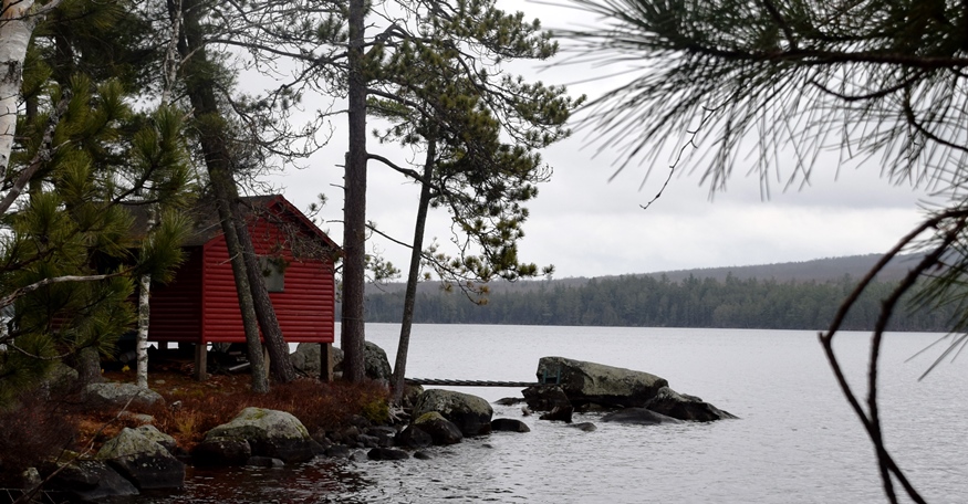
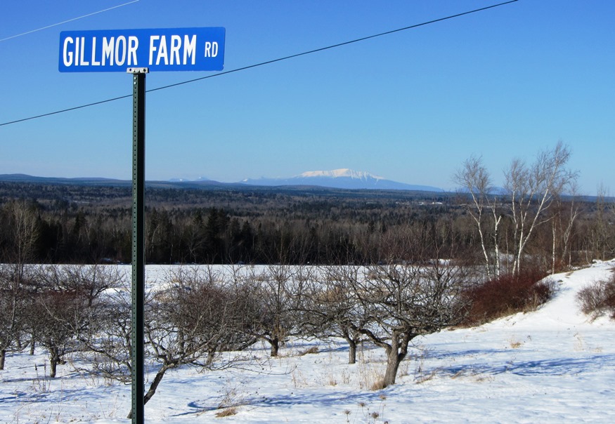
Sandy Bay is about seven miles north of Jackman Village on U.S. Route 201 and Maine Route 6 through Dennistown Plantation. From its township line beyond Dennistown, the two Routes continue northwest for about ten miles to the Canadian Border and customs facilities. The South Branch of the Penobscot River begins here, trending east through…

T1 R8 WELS

Southwest shore of Millinocket Lake and Mount Katahdin from T1 R8 WELS

This township is just north of Millinocket on the Millinocket Lake Road, which trends northwest from Millinocket to the Lake and a boat launch. Millinocket Stream, the outlet from the Lake, flows south through the township to the Town of Millinocket. Smith Brook, the outlet for the 22 acre Little Smith Pond, flows through a…

Big Moose Township

      With a long expanse on the southwest shore of Moosehead Lake, the Township stretches from the East Outlet of the Lake, the source of the Kennebec River, to the outskirts of Greenville on the combined Route 6 and 15. The Kennebec in the north moves through the long stretch of Indian Pond,…

Orneville Township

Route 155 in Orneville between Bradford and Lagrange. (2014)

Orneville, east of Lagrange, is heavily forested. It has one small village, Boyd Lake, on Route 6/16 near Boyd Lake itself. Maine combined Routes 6/16 in the east and Route 11 in the west and a short stretch of Route 155 between Bradford and Lagrange in the southeast are the major improved roads on the…

Muscle Ridge Shoals Township

Otter Island Ledge Day Beacon in Muscle Ridge Channel (2015)

This island group township in Knox County is just offshore from South Thomaston in the Gulf of Maine. Its more than a dozen islands includes the larger Andrews, Dix, Fisherman and Pleasant.  [click images to enlarge and clarify, for these and all others] The “shoals” refer to ledges and reefs that threaten safe passage.  Otter…

Bath Historic Register

“The Sewall Mansion,” 963 Washington Street, was built in 1844, in a late Federal Style. Redone in 1894 by John Calvin Stevens in Colonial Revival Style. (2013)

National Register of Historic Places – Listings Photos, and edited text are from nominations to the National Register of Historic Places researched by Maine. Historic Preservation Commission. Full text and photos are at https://npgallery.nps.gov/nrhp  Bath Historic District [Roughly bounded by High, Beacon, and Court Streets, U.S. 1 and Kennebec River] In this area Bath’s prospering…

Enfield

Panoramic Mountain View from Enfield (2014)

Year Population 1970 1,148 1980 1,397 1990 1,476 2000 1,616 2010 1,607 Geographic Data N. Latitude 45:15:56 W. Longitude 68:35:39 Maine House District 142 Maine Senate District 5 Congress District 2 Area sq. mi. (total) 33.2 Area sq. mi. (land) 27.9 Population/sq.mi. (land) 57.6 County: Penobscot Total=land+water; Land=land only [EN-field] is a town in Penobscot…

Brewer

Brewer Along the Penobscot (2003)

Year Population 1970 9,300 1980 9,017 1990 9,021 2000 8,987 2010 9,482 Geographic Data N. Latitude 44:46:44 W. Longitude 69:25:29 Maine House Dists 128,129 Maine Senate District 8 Congress District 2 Area sq. mi. (total) 15.6 Area sq. mi. (land) 15.1 Population/sq.mi. (land) 628.0 County: Penobscot Total=land+water; Land=land only  Brewer is a city in Penobscot…