Lincoln

Panoramic view of Mount Katahdin from Gilman Road in Lincoln

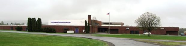
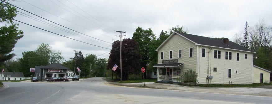
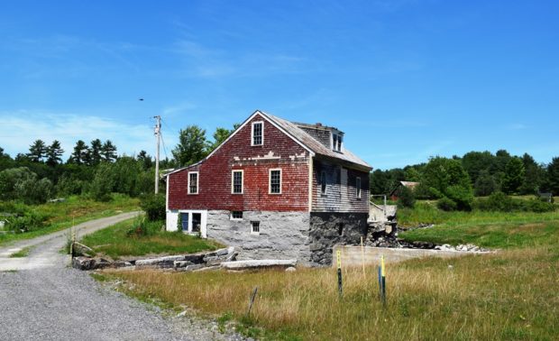
In 1846, Henry David Thoreau noted that his group “came into the Houlton road again, here called the military road, at Lincoln where there is quite a village for this country.” See photos. It has been a manufacturing center for pulp and paper, shoes and textiles. Recent years have seen a declining population as those sectors have faded. A 40 turbine wind will benefit the town budget.

Island Falls

William Sewall became a wildlife guide and companion to Theodore Roosevelt in the 1870′s. The town has frontage on almost half of Pleasant Lake. See photos. The nearby Walker Settlement hosts a golf course and residential development near the lake. Several large homes recall the heady days when potato was king in the County. One of those was that of Governor Carl E. Milliken. Island Falls has had industry in the form of lumber mills, grist mills and a starch factory.

Houlton

In 1828 a military post was established and the military road to supply the post was completed in 1832. The garrison stayed until the Webster-Ashburton treaty was completed in 1842. See photos. Served by the New Brunswick and Canada Railway as late as 1886. By 1894 the new Bangor and Aroostook Railroad connected the town to central Maine. The “Houlton Band” of the Maliseet Indians has its tribal offices near the Canadian border.

Hermon

Dysart

Now a growing suburb of Bangor, it lies just west of the city on U.S. Route 2 and Maine Route 100. See photo. Hermon hosts the Northern Maine Junction rail yard in its southeast corner along U.S. Route 2. The property has been used for maintenance, refueling, and railcar classification since 1905.

Hanover

Kiosk at the River, noting the Androscoggin River Trail, by the Mahoosuc Land Trust (2014)

Hanover is experiencing home and vacation property development at a more rapid pace. The small town is receiving more interest within the greater area as development in neighboring larger towns is spreading. As with many Maine communities, the number of full-time residents is declining as non-resident vacation homes increase.

Greenbush

Helen S. Dunn School (2012)

Located on the east bank of the Penobscot River, Greenbush includes several islands, the largest of which, Olamon, abuts Olamon Stream as it empties into the river. Olamon, the name of a village near the island, means “red paint.” The Indians traveled up the stream to retrieve the red ochre they used as paint for decorating their bodies. Greenbush village is on the River and U.S. Route 2. A smaller village, Cardville, is in the middle of the township on the Cardville Road.

Gilead

Sign: Welcome to The Town of Gilead (2013)

the Androscoggin River splits Gilead down the middle from west to east, flowing between two mountain ranges. See photos. Only one bridge crosses at the village. In 1973 the U.S. EPA was documenting pollution in the river. A brief canoe trip makes about five of its six miles through Gilead to West Bethel, with spectacular views of the Presidential Range.

Dyer Brook

Southern Aroostook Community School (2014) @

Dyer Brook, incorporated in 1891, so named for the stream that flows through it and into the Mattawamkeag River, is in the heart of potato country. See photos. This sparsely populated rural town has no paved roads, other than U.S. Route 2. An extensive bog occupies the middle of the township.

Carthage

in Franklin County incorporated in 1826 has a small but growing population. It has has many pleasant views of the western mountains and several historic buildings. The village of Berry Mills, on the Webb River, has a sawmill, as it did in the 1880s. See photos.

Carmel

Village Market in Carmel Village (2014)

near Interstate 95 and an easy commute to Bangor, Carmel sustained substantial population growth of 19 percent in the 1990-2000 decade, and nearly 16 percent in the ten years ending in 2010. First settled in 1798, it incorporated in1811. See photos.

Canaan

Old Mill Site in Canaan on Carrabassett Stream (2013)

in Somerset County, incorporated in 1788, though settlement began in 1803 when mills were erected on Wesserunset Stream. Lake George and Sibley Pond, the source of Carrabassett Stream, are popular summer recreation and winter ice-fishing attractions. See video and photos.

Bethel

Classic Barn photographed by the Environmental Protection Agency in 1973, still stands in 2019

one of the oldest villages in western Maine, incorporated in 1796 from Sudbury Canada Plantation. Its name signifies the “House of God,” possibly inspired by its location among the Oxford Hills. The Middle Intervale Meetinghouse was built in 1816. West Bethel village is along a canoe trip route on the Androscoggin River. See photos.

Norridgewock

Kennebec River (2018) downstream from The Pines in Old Point in Norridgewock near the British massacre of the Indian village in 1724.

The village straddles a bend in the Kennebec River at the junction of Maine Routes 8 and 139, and U.S. Routes 2 and 201A. See photos. The Sandy River empties into the Kennebec in the town. Benedict Arnold’s expedition passed through in 1775. Norridgewock was the home of author Rebecca “Sophie May” Clark, and U.S.Representatives Cullen Sawtelle and Stephen D. Lindsey.

Skowhegan

Recorded as Skwahegan in early reports, the name means “watching place for fish,” drawn from the falls in the Kennebec River that harbored salmon. See photos. Local Indians speared them as they attempted to scale the falls. Textile and shoe manufacturing were major employment options for local residents during the late 19th and early 20th centuries. Once home to Camp Modin, a camp for Jewish boys and girls until 1992, Lake George Regional Park is split between Skowhegan and Canaan.

Vassalboro

has sufficient space to support farming as well as serving as a residential area for people working in Augusta and Waterville. See video and photos. Benedict Arnold stopped here to obtain a canoe on his way to Quebec. Site of Oak Grove Seminary in 1844, then Oak Grove Coburn school in 1970, then the Maine Criminal Justice Academy in 2001.

Bangor

Bangor Downtown near the West Market Square Historic District (2001)

When Maine separated from Massachusetts in 1820, the vast Maine timberlands were put on the block for speculation, which drew investors and fortune hunters. By the 1830s, Bangor was building 500 structures annually. Dow Air Force Base provided an economic and civic boost during the Cold War until closing in 1968. The creation of Bangor International Airport turned the potential liability into an asset.