Wales

Rolling Hills in Rural Wales (2002)

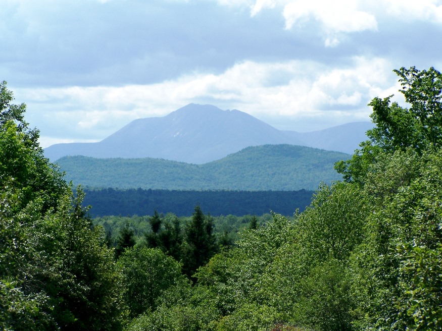
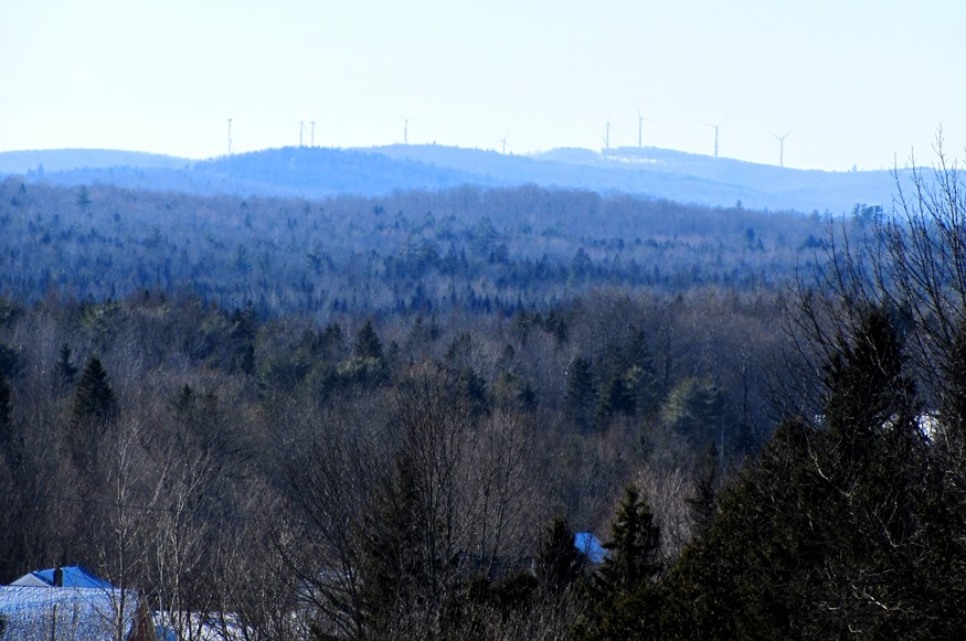
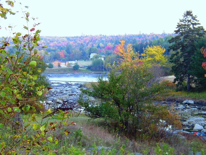
The early settlers arrived in about 1773, some of whom came from Wales in Britain. See photos.The gentle hills in the town reflect the landscape of the old country. With access to Sabattus Pond, the town is within easy reach of Lewiston-Auburn via Maine Route 132, and of Gardiner by way of Routes 9 and 126.

Waldo

Working Farm on the Waldo Station Road (2005)

Located just northwest of Belfast, the town (see photos) is served by Maine Routes 7, 131, 137 and 203. The Belfast and Moosehead Lake Railway passes through to its terminus in Belfast. The Railway runs summer service between Unity Station and Belfast for sightseeing and “just for fun.”

Veazie

Veazie Dam on the Penobscot River (2003)

At only 3.4 square miles in area, Veazie is one of the smallest municipalities in the state. U.S. Route 2 is also its Main Street. Created in 1853, it was named, and likely created, for General Samuel Veazie who owned the saw mills and most of the property in the new town. Mills and a power station took advantage of the Penobscot River here.

Unity

is home to Unity College, a small liberal arts institution in a rural setting where the Common Ground Country Fair is held each fall. See photos. The main village is at the south end of the 2,528-acre Unity Pond, also known as Lake Winnecook.

Turner

Sunset view from Lower Street (2004)

Turner (see photos and video) lies directly north of Auburn on Maine Route 4, and is served by routes 117 in the south and 219 in the north. South Turner is a smaller village near the Auburn city line. Bounded by the Androscoggin River on the east, Turner has its share of ponds, including Bear Pond and its amusement park.

Troy

Classic Barn in Troy (2006)

Maine Route 220 joins U.S. Route 202/Maine Route 9 at Green’s Corner near the shore of Unity Pond. Carleton Pond, Bog, and Stream are accessible from Route 220 in the north end of town. The 1840 Troy Union Meeting House is a classic example of a type of meeting house or church in Maine in the four decades prior to the Civil War.

Trenton

Union River Bay from Bayside Road at Low Tide (2013)

South on Route 230 (Bayside Road) from Ellsworth, on the west shore of town, one notes the very modest houses on the inland side and the more substantial houses and cottages set back from the road on the Union Bay side. Route 3, the “Bar Harbor Road,” on the east side has a completely different character, featuring attractions for tourists bound for Acadia National Park, and the Hancock County – Bar Harbor Airport.

Topsham

Recently the downtown (see photos) has witnessed a renewal with modern buildings. Topsham has been a very rapidly growing community both in population and in commercial development.The area of the Topsham Fair Mall is located adjacent to Interstate 95. Pejepscot Village was once an active community when the Pejepscot Paper Mill was in full production. Falls in the Androscoggin River between Topsham and Brunswick encouraged the development of paper and textile mills which dominated the economy into the 20th century.

Thorndike

Settled in 1772, the town lies southeast of Unity on Maine Route 139. See photos. While once a farming community, as most Maine towns, Thorndike counted the railroad as a major element in its economy. The remains of that era are obvious in the village. The Belfast and Moosehead Lake Railroad was the latest to use the line.

Temple

At the western terminus of Maine Route 43, Temple, with its cluster of small mountains and small ponds, lies just northwest of Farmington. Settled in 1796, it was the site of an early and strong community of Quakers. In the 19th century, though largely a farming community, it was home to three sawmills, an excelsior and stave mill, a grist mill, and a carriage factory.

Surry

Patten Bay near Union River Bay from Route 172 in Surry (2003)

Surry is just southwest of Ellsworth on Maine Route 172 where it crosses Route 176. Once an active fishing, farming and lumbering community, it is now primarily residential with modest tourism and fishing supplementing the local economy. The town’s Newbury Neck extends over six miles from the mainland, a virtual island surrounded by Morgan Bay and Union River Bay.

Topsfield

Location Map for Topsfield

The village is at the intersection of north-south U.S. Route 1 and east-west Maine Route 6. Logging and hunting are major activities in this rural community. Topsfield has substantial resources in the long shoreline of Baskahegan Lake and the two smaller lakes: East Musquash and Farrow.

Starks

The New Vineyard Mountains from Route 43 (2003)

A farming town, Starks once boasted a canning factory to which farmers would bring corn, squash, pumpkins, and other produce each fall. See photos. The “corn shop,” as it was known, closed in 1964. The now abandoned Grange Hall was the site of many community dances and socials at least through the 1950’s. The winding Sandy River, the site of several ferry crossings, constitutes the town’s eastern boundary. A small chapel is located near an old cemetery on the River Road.

St. John

Location Map for St. John

With the St. John River as its northern boundary, the town is located nearly at the end of Maine Route 161, a dead end road that travels west from Fort Kent to serve the small communities along the River. The Plantation has several modest sized lakes, including Wallagrass Lakes (Lakes 1 and 2) in the southeast, Wheelock Lake in the northeast, and Hunnewell Lake in the west. It hosts two lots of Maine Public Reserved Lands totaling 1,167 acres.

South Portland

A residential community serving the greater Portland area for over a hundred years, the City has developed independent economic resources. See photos. It is part of the Port of Portland and home to a major railroad yard and fuel tank storage facility. The Southern Maine Community College campus includes Fort Preble, named for Commodore Edward Preble.

St. George

In a park near the town office, St. George and the dragon reenact their famous battle. See photos. The Fort St. George’s memorial is nearby.St. George was the site of granite quarries and was the birthplace of the Granite Cutters Union in 1877, the first in the state’s history. The town may be better known by some by its villages of Port Clyde, at the southern tip of its long peninsular, and Tenants Harbor.

Stacyville

Mount Katahdin and Hunt Mountain from Swift Brook Road in Stacyville (2017)

Its main village is Sherman Station on the Bangor and Aroostook Railroad line and Maine Route 11 just across the town line from the Town of Sherman. Stacyville Village is in the southwest of the township; Siberia village is in the center on the Grindstone Road. That portion of Route 11 in Sherman Station Village serves as the “Main Street” for the town, with community buildings and businesses.

Springfield

Wind Turbines on Rollins Mountain from Weatherby Hill on Route 6 in Springfield (2014)

Located on the east-west Maine Route 6 crossing eastern Penobscot and northern Washington counties, the town has a substantial area in wetlands. See photos. One account has the name commemorating “extensive fields abounding in springs.” The village is centered around the crossroads of Route 6, Park Street (Routes 169/170), and Shep Road.

Southwest Harbor

Location Map for Southwest Harbor

It lies on the southwest entrance to Somes Sound, diagonally across from Northeast Harbor, a village in the town of Mount Desert. Southwest Harbor has been both a fishing and summer resort community from its earliest days as a town. See photos. Maine Route 102 begins at entrance to Mount Desert Island and leads directly south to the main village of Southwest Harbor. Here the Wendell Gilley Museum celebrates the life and work of Gilley, a pioneer of decorative bird carving. South of the harbor, the small villages of Manset and Seawall face the entrance to Somes Sound and the Cranberry Isles.