Smithfield
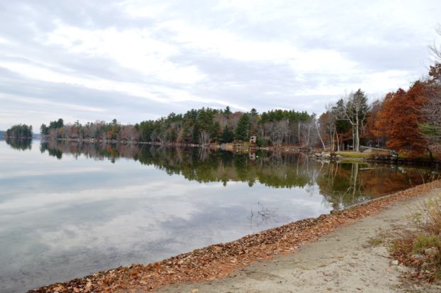
A summer recreational center, it hosts the bulk of two of the Belgrade Lakes: North Pond and East Pond. East Pond is home to several summer camps for young people, some that cater to adults, and some that are individually owned summer cottages. See photos. The main village is on the eastern shore of North Pond, where a sandy beach attracts area residents and summer visitors.
")
")
 N45° 54")

")
")
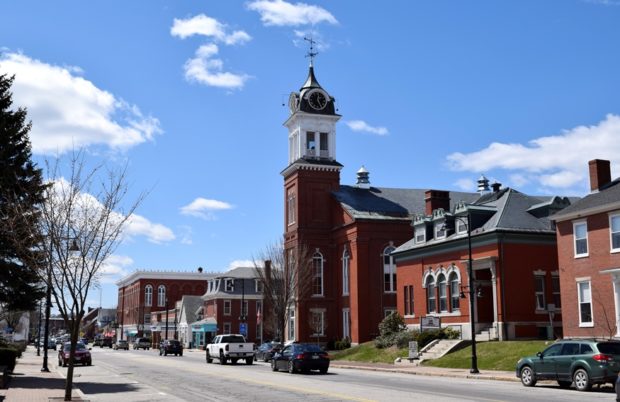
 One of a dozen historic buildings in the East Main Street Historic District.")
")