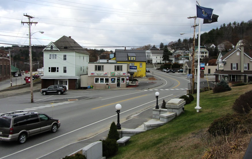
Livermore

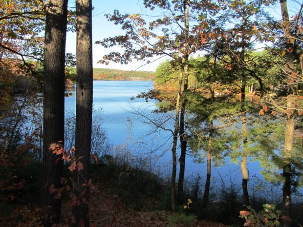
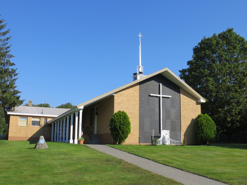
Livermore, the main village, fronts on Brettuns Pond. A boat launch is located off Route 4. Near Livermore village several old community buildings suggest an earlier location for the village center. North Livermore village is centered on twin water bodies, Round Pond and Long Pond. North Livermore Baptist Church graces the community, just north of “The Norlands” a living history center.

Windham

The main village, North Windham, lies adjacent to Sebago Lake and on the shore of Little Sebago Lake at the junction of U.S. Route 302 and Maine Routes 35 and 115. See photos. While Route 302 is a long commercial strip, an old meeting house is adjacent to the Windham Union Church. Young adult offenders are held at the Maine Correctional Center in South Windham.

Wilton

Location Map for Wilton

Located on the shore of Wilson Pond, the main village lies at the intersection of U.S. Route 2 and Maine Routes 4 and 156.. See photos. George H. Bass began making boots for farmers in 1876. For more than 100 years, the G. H. Bass company made footwear in Wilton.

Strong

Canoe on the Shore of the Sandy River in Strong (2013)

The main village is located about eleven miles north of Farmington on a big bend in the Sandy River at the junction of Maine Routes 4, 145, 149 and 234. Maine’s Republican Party was founded here on August 7, 1854 by a coalition of anti-slavery Democrats, other Democrats, and Whigs.

South Berwick

Counting House Day Lily Memorial Park at the Salmon Falls River (2018)

Maine’s oldest educational institution, Berwick Academy, was established here in 1791 when the town was part of Berwick. See photos. South Berwick is the birthplace of Sarah Orne Jewett, who attended Berwick Academy for four years — her only formal education. The town is accessible to the coastal communities of York and Kittery via Maine Routes 91 and 236.

Rangeley

Rangely Lake (2001)

The town is at the center of the Rangeley Lakes Region with many hotels, campsites, boat launching facilities and recreational opportunities. See photos. The region was the setting for Louise Dickenson Rich’s 1942 book We Took to the Woods. It hosts Hunter Cove nature preserve and Bald Mountain public reserved land.

North Berwick

Mill Buildings on the Great Works River (2002)

The North Berwick Woolen Mill is a historic landmark on the banks of the Great Works River that passes through the main village. See photos. More than a dozen National Register historic places testify to the town’s significant role in Maine’s early history.It is home to the historic Hussey Plow Company and a Pratt & Whitney defense plant.

New Gloucester

Pineland Farms near the Intervale Road in New Gloucester (2013)

home for Pineland Center from 1908 to 1996, that facility for the mentally retarded was known as the “Maine School for the Feeble-Minded” and later as the Pownal State School. See photos. It has been redeveloped as an office park. The multiple-use campus hosts professional, educational, and civic organizations, along with a conference facility. Pineland Farms and its Equestrian Center are major facilities nearby.

Livermore Falls

Livermore Falls Birdseye View 1889

For years Livermore Falls was a thriving paper mill town. See video and photos. Recently, the employment future has become less certain, as shown by the age of the housing stock. Pikes Corner at Route 133 and 106 is in the East Livermore area, in Livermore Falls. The town is directly north of the Lewiston-Auburn area. An extensive logging and manufacturing operation produces wood pallets.

Lamoine

Lamoine Consolidated School (2013)

a town in Hancock County, incorporated in 1870. Mount Desert Narrows separates Mount Desert Island from Trenton and Lamoine. Eastern Bay is east of the narrows between Lamoine and the island. Lamoine State Park and Lamoine Beach are both on the shore of Eastern Bay. They are at the end of Maine Route 184, which departs from U.S. Route 1 in Ellsworth.

Jay

Main Street in Jay near the Mill and Androscoggin River (2013)

Both Jay and Livermore Falls, have been paper mill towns on the River since the 19th century. See photos. Jay’s town line cuts through Livermore Falls village with little obvious effect. The VFW Post is just a few hundred feet north of Livermore Falls. Jay was the scene of an extended and bitter strike of workers against the International Paper Androscoggin mill in 18987-1988. The white granite for President Ulysses S. Grant’s tomb came from North Jay

Hollis

Just 10 miles northwest of Biddeford-Saco, the town was the summer home of Kate Douglas Wiggin, author of Rebecca of Sunnybrook Farm among others. See photos. Her house is now the library. Wildfires of 1947 wiped out many historic homes, so only about 20% of all houses are older 50 years. The village with most commercial development is Hollis Center, with restaurants, gasoline stations, a food market and other service businesses. Poland Spring bottling plant was the only substantial industrial use in Hollis as of 2004.

Buxton

Saco River with old bridge abutments in Buxton (2003)

was settled by men who were survivors of King Philip’s War having been granted allotments of land in what was then Narragansett, Number One. The first permanent settlers arrived in 1750. Named for Buxton in Norfolk, England, it incorporated in 1762. The Buxton Powder House, one of only three War of 1812 powder houses to survive in Maine, was erected on a vote of local citizens. See photos.

Avon

Mount Blue and Webb Lake in Weld (2017)

in Franklin County, named for the river in England and incorporated in 1802. Settled after the American Revolution, by 1886 Avon had two saw mills and eleven public schools, supported by an 1880 census population of 571. The 3,000-foot Mount Blue is located in the southwest corner of the town in Mount Blue State Park.

Madrid TWP

View from Saddleback Junior (2007)

gave up its municipal status on July 1, 2000 since it was unable to sustain the expenses associated with being an organized town. The Appalachian Trail cuts through the northwest corner of the township, passing over The Horn, a mountain just northeast of Saddleback Mountain.

Sandy River Plantation

Mountain Ranges from the Saddleback Mountain Trail on the AT (2004)

About 35 miles northwest of Farmington on Maine Route 4, just south of Rangeley, the community marks the source of the Sandy River in the Sandy River Ponds. See map, video and photos. Four Ponds Public Reserve Land lies just east of Mooselookmeguntic Lake. Access is by the Appalachian Trail off Route 4 in Sandy River.

Alfred

Church on Shaker Hill in Alfred (2012)

Originally, the area was known to the Native Americans as Massabesic and was acquired from Chief Fluellin in 1661 by Major William Phipps. Later a Shaker community settled on a hill overlooking what is now called Shaker Pond. Alfred is the county seat of York County and was the site of a Civilian Conservation Corps camp in the 1930’s.