Portland Historic Register
")
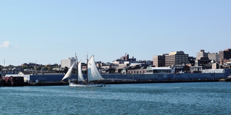
The City of Portland has over eighty places and historic districts on the National Register, including Eastern Promenade, Evergreen Cemetery, Fort Gorges, Longfellow Monument, Portland City Hall, Portland Observatory, Wadsworth-Longfellow House, Westbrook College Historic District, and Western Promenade
")
")
")


 N46° 50")