Canton

Lake Anasagunticook from Staples Hill Road in Canton (2013)

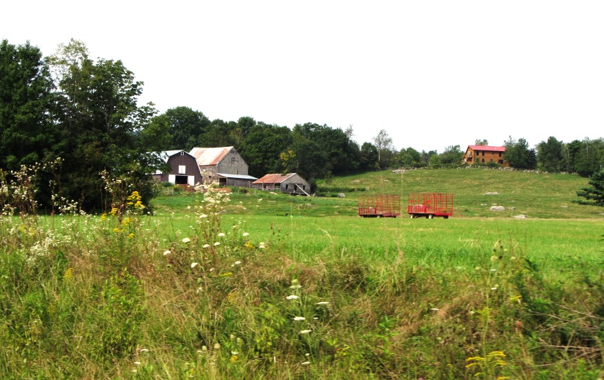
village in Oxford County, incorporated in 1821, overlooks Lake Anasagunticook at the junction of Rts. 108 and 140. The Androscoggin River winds through the town just north of the village. The historical society, old railroad station and masonic building grace this residential, agricultural community. See video and photos.

Byron

in Oxford County incorporated in 1833, the village is located on the Swift River nears Coos [CO-oss] Canyon, legendary source of gold and other minerals. This sparsely populated town is served by Maine Route 17 connecting it with the Rumford-Mexico area to the south. See photos.

Brownfield

Named for Captain Henry Y. Brown, who received a land grant for service in the French and Indian Wars, the town sits between the New Hampshire border and the Saco River. The Stone Mountain Arts Center, with excellent attractions and food, brings visitors from long distances. See photos.

Bethel

Classic Barn photographed by the Environmental Protection Agency in 1973, still stands in 2019

one of the oldest villages in western Maine, incorporated in 1796 from Sudbury Canada Plantation. Its name signifies the “House of God,” possibly inspired by its location among the Oxford Hills. The Middle Intervale Meetinghouse was built in 1816. West Bethel village is along a canoe trip route on the Androscoggin River. See photos.

Albany

The White Mountains (2013)

an unorganized township in Oxford County, was originally incorporated as a town on June 20, 1803 from its earlier designation as Oxford Plantation. It lies just south of the town of Bethel and on the edge of the scenic White Mountains National Forest in Western Maine. The town house, grange, and congregational church, all near Routes 5 and 15, are historic landmarks.

Oxford County Nature Preserves

Mooselookmeguntic Lake from Height of Land in Township D (2007)

Lake Umbagog National Wildlife Refuge, established in 1992 spans the Maine-New Hampshire border. 5,000 of the total of 17,500 acres lie in Maine in Upton. A Magalloway River trail leads off Maine Route 16. In addition, about 20 miles of logging trails are open to hikers. Richardson Public Reserved Land, Adamstown and Richardsontown Townships. Located…

Township C

Detail of 1940

     Detail of 1940’s Township C Topographic Map This oddly shaped, [click Location Map for red location] trapezoidal township, not to be confused with the triangular C Surplus, is immediately west of Township D, host to the next northerly section of the Appalachian Trail. The trail travels about one mile in the township’s southeast…

Riley TWP

Boardwalks on the Goose Eye Trail (AT) in Riley Township (2007)

a township in Oxford County, just north of the town of Gilead on the border with New Hampshire. It is home to no lakes, few people, several mountains in the Mahoosuc Range, and the source of Sunday River. It is the entry point for the Appalachian Trail in Maine in a section of the state’s Public Reserved Land. From here it is 281.4 miles to go to reach the summit of Mount Katahdin.

Appalachian Trail

I think that I cannot preserve my health and spirits, unless I spend four hours a day at least—and it is commonly more than that—sauntering through the woods and over the hills and fields, absolutely free from all worldly engagements. – Thoreau “Walking”** Having entered Maine he Trail has its northern terminus at Baxter Peak…

Oxford County

Map of Maine Counties and Baxter Park

Oxford County is the seventh largest in population of the sixteen counties, located in western Maine along the New Hampshire border to the east and the Province of Quebec border to the north. The northern parts of York and Cumberland counties were separated to form Oxford County on March 5, 1805.  As with many counties,…