T1 R8 WELS

Mount Katahdin and Millinocket Lake from its southwest shore (2018)

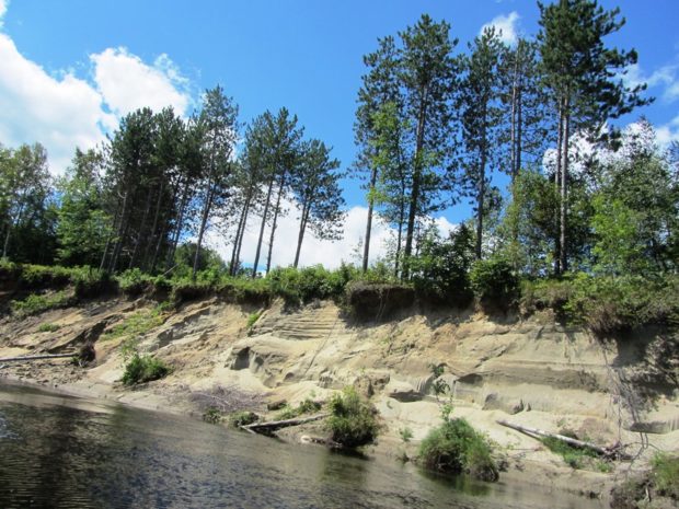
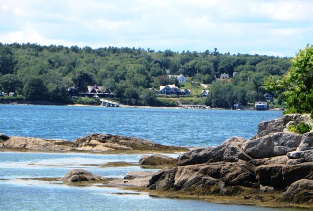
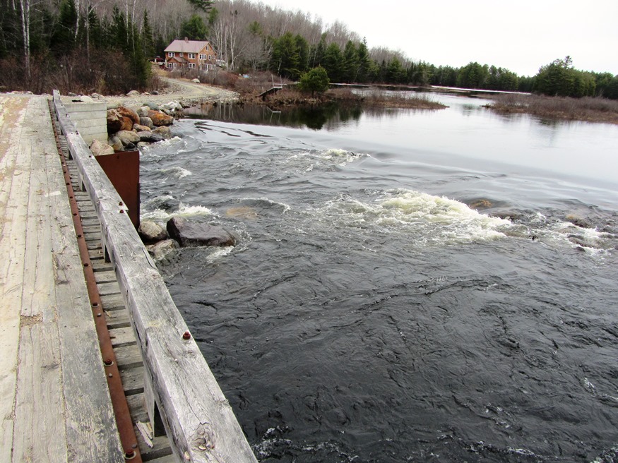
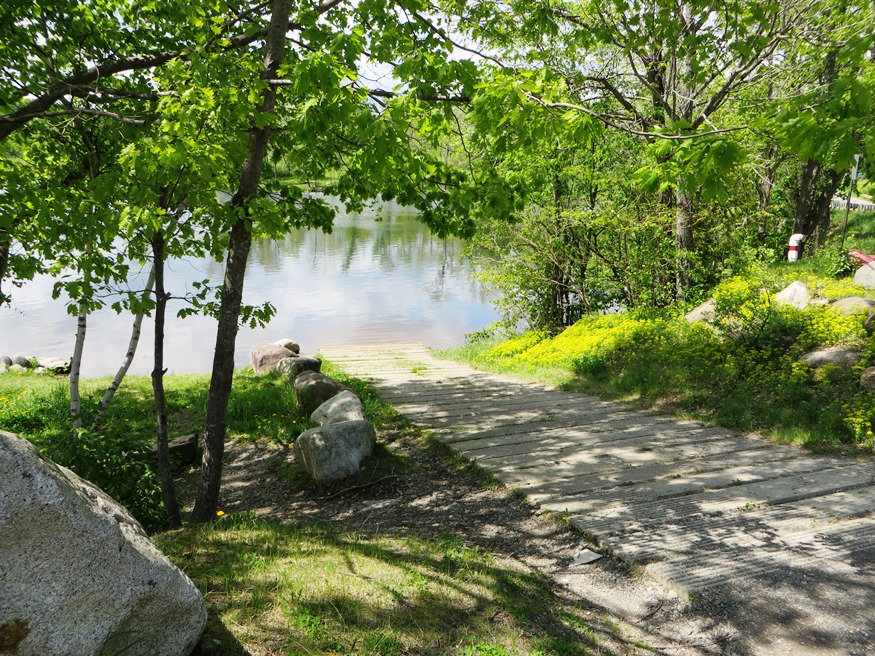
  This township, in Penobscot County, is about eight miles northwest of the town of Millinocket on the Millinocket Lake Road. The long south shore of the Lake is its primary recreational asset. The short Black Cat road skirts the 860-foot Black Mountain toward several outdoor adventure organizations. While their base is here, they transport…

EBEEMEE Township

Pleasant River East Branch, outlet of Lower EBEEMEE Pond in EBEEMEE Township (2014)

Just north of Brownville on Route 11, this township contains the East Branch of the Pleasant River which feeds the connected West Pond, Pearl Pond and Ebeemee Lake. Small year-round and seasonal cottages are located on the access roads and on the shorelines.                        …

T3 Indian Purchase Township

Bridge over Waterway linking Elbow Lake with Quackish Lake (2014)

The Township wraps around the southern, eastern and northern portions of Millinocket. T4 Indian Purchase Township is adjacent west of T3. The Golden Road and Route 11 from Millinocket are the two improved roads in the township. Bridge over Waterway linking Elbow Lake with Quackish Lake (2014) @ T3 encompasses all of Elbow Lake and…

Carrabassett Village

Rest Area off Route 27 in Carrabassett Valley near the Carrabassett River (2012)

Carrabasset village in the town of Carrabasset Valley is located along the river of the same name.  The village is east of Sugarloaf Mountain, about eight miles by road. It is served by Maine combined Routes 16/27 from Farmington (27) and Anson (16) and by a regional airport. Carrabasset Valley Academy is a private school,…

Stratton

Stratton is a village in the town of Eustis. It is the main village with a small commercial area and civic facilities, including the town office, fire department, library, and post office. The Oramendal Blanchard House, home to the local sawmill owner in the late 19th century, is on the National Register of Historic Places.

Outdoor Recreation

Rafting near The Forks (2004)

in Maine is a matter of picking the freely available natural resources: streams and lakes for canoeing, nature preserves and mountains for hiking, rivers for rafting on the Penobscot River’s West Branch and the Magalloway River, forests and parks for camping, among the many non-motorized options. Not to mention hunting and fishing opportunities. The Appalachian…

Monroe

sign: "Gesner Park, Town of Monroe" (2003)

Several small streams, marshes, and ponds fill the landscape in this still rural community. In 1880, with a population of 1,366, Monroe supported thirteen schoolhouses. See photos. In 2003 the Town office building also housed the library. Monroe is served by Maine Routes 139, between Brooks and Winterport, and 141 from Swanville.

Lumber Industry

Logging Equipment at a Sawmill in Belgrade (2003)

From earliest European presence, the Maine woods have been a source for masts, boat building, housing, and other structures. Later, the paper industry and recreational hunting, hiking, and camping, broadened its importance. Still later, people saw its role in absorbing greenhouse gasses, providing wildlife habitat wildlife, and protecting water resources.

Great Pond Plantation

Great Pond in the Town of Great Pond (2013)

The small main village is a mile south of Great Pond. The town office, an old church, and a few houses are there. See photos. “Stud Mill Road” runs east-west through the Plantation from Washington and Hancock counties, to the Costigan stud mill in Milford. The Union River, outlet from Great Pond, flows south through Ellsworth to Union River Bay. The Navy has a recreation center at the lake.

Garland

Boat Launch at Garland Pond off Route 94, near swimming area. (2014)

Garland’s 1891 Grange Hall, built in 1891 is one of the oldest surviving 19th century structures of its type, having both Greek Revival and Italianate elements, and simplicity. The Kenduskeag Stream flows from Garland Pond to the Penobscot River at Bangor. Lyndon Oak was a prominent community member. The town was incorporated in 1811.

Fort Williams

Sign: Brief History of Fort Williams (2001)

Fort Williams is located in Cape Elizabeth and its grounds constitute Fort Williams City Park. In 1873 construction had begun on earthworks fortifications and was known as the Battery at Portland Head. By 1892, concrete batteries had been placed over the original structure. It remained a sub-post of Fort Preble (near Southern Maine Community College)…

Farmington

From a trading center in the late 18th century, it saw rapid growth through the Civil War, largely with designation as the shire town of Franklin County, arrival of a few manufacturers, and founding of several educational institutions. It boasts a highly rated small college: the University of Maine at Farmington, near downtown. Originally the Farmington State Normal School, it was established in 1864. The town is the birthplace of renowned vocalist Lillian Nordica; the home of inventor Chester Greenwood and U.S. Representative Robert Goodenow.

Canoe Trips

Canoe trips can range from several days in the Allagash Wilderness Waterway or on the Androscoggin, Kennebec, or Penobscot Rivers, to pleasant day trips often close to home. Here are few samples of accessible canoeing in Maine. (Click the film strips.) Also visit our partners in Maine Rivers and Ridge for more canoe trips and…

Arundel

A town “Arundel” formed in 1719. In 1821 it became Kennebunk Port, from which, in 1915 a new town emerged: “North Kennebunkport.” In 1957 it changed to Arundel. Kenneth Roberts’ historical novel “Arundel” recounts the early life of the area and influenced the reemergence of the name. See video and photos.

Chebeague Island

Chebeague Island from Bangs Island (2015)

    [shuh-BEEG-iland] is a town in Cumberland County, incorporated on July 1, 2007 after separating from the mainland town of Cumberland. In doing so, it joined its neighbor Long Island as another new town in Casco Bay. The 2000 census recorded the population at 356; in 2010 it was 341. The town consists of…