Oxford County Nature Preserves

Mooselookmeguntic Lake from Height of Land in Township D (2007)

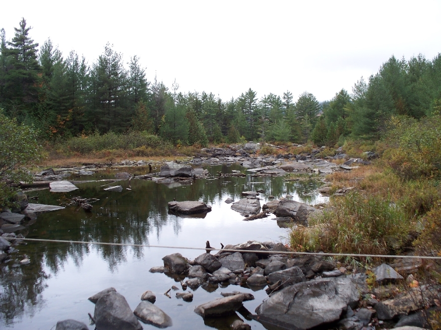
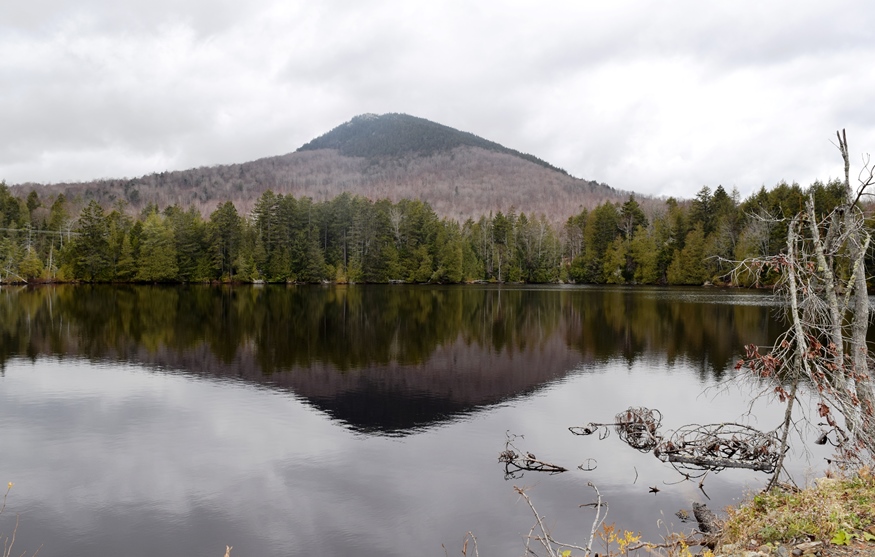
Lake Umbagog National Wildlife Refuge, established in 1992 spans the Maine-New Hampshire border. 5,000 of the total of 17,500 acres lie in Maine in Upton. A Magalloway River trail leads off Maine Route 16. In addition, about 20 miles of logging trails are open to hikers. Richardson Public Reserved Land, Adamstown and Richardsontown Townships. Located…

Lincoln County Nature Preserves

Great Salt Bay from the Mills Road in Newcastle (2004)

     Great Salt Bay from the Mills Road in Newcastle (2004) Preserves owned and managed by Coastal Rivers Conservation Trust Bass Rock Preserve, Round Pond. 12 acres look out on Muscongus Sound. There are no trails. Park on Back Shore Road. Damariscove Island, Boothbay. This National Historic Landmark (Maine’s earliest permanent settlement) is 209…

Knox County Nature Preserves

Map of Fernald

The Brothers and Hay Ledge Preserve, St. George. These four islands off Port Clyde provide a 12 acre home to a number of nesting sea birds such as the black guillemot, common eider, double-crested cormorants and various gulls, which prefer the dense grasses and shrubs. As such, the preserve is closed during nesting season. Managed…

Hancock County Nature Preserves

Barred Island, Deer Isle. 2 acre island with spruce-fir and shrub-cover and extensive granite shore ledges. Accessible by landing on inter-tidal sandbar or across private property with permission of Goose Cove Lodge owners. There are no trails; walk along the shore. Managed by The Nature Conservancy. Birdsacre Sanctuary, Ellsworth. Lovely 40-acre woodland sanctuary with trails…

Franklin County Nature Preserves

Pond in Bigelow Preserve (2003)

Bald Mountain Public Reserved Land, Rangeley. Bald Mountain’s one mile trail to the summit offers panoramic views of Rangeley, Cupsuptic and Mooselookmeguntic lakes and the Height of Land. Especially popular in the fall with autumn colors, the area contains more than 200 species of wildlife in its 1,873 acres. A short trail leads to the…

TA R10 WELS

Area of TA R10 Township as represented in the 1952 Topographic Map.

                  Area of TA R10 Township as represented in the 1952 Topographic Map. This township is immediately adjacent to T1 R11 WELS, host to the next northerly section of the AT. The trail generally tracks east-west, except for a short northwest-southeast section between Mud Pond and Lower…

TA R11 WELS

View from Little Boardman Mountain

View from Little Boardman Mountain (2007) The township is immediately west of TA R10 WELS, host to the next northerly section of the Appalachian Trail. Heading south, the AT follows Cooper Brook to Crawford Pond, the to the East Branch of the Pleasant River. Two AT shelters may be found in the township, one in…

TA R12 WELS

1952 TA R12 Topographic Map

The township is immediately adjacent to T1 R11 WELS, host to the next northerly section of the AT. The Appalachian Trail cuts briefly through the southeast corner of the township, also known as Shawtown. Shawtown is a very watery township, with four of the Roach Ponds and First, Second, Third, and Fourth West Branch Ponds.…

TB R11 WELS

A view from the ridges in TB R11 WELS 2007

          A view from the Appalachian Trail on ridges in TB R11 WELS (2007) This township, in Piscataquis County, is immediately southeast of TA R12 WELS, host to the next northerly section of the Appalachian Trail. The AT briefly (about two miles) passes through the northwest corner of the township as…

Monson

Monson Birdseye View 1889

The Appalachian Trail runs along the northwestern portion of Lake Hebron, then veers north toward the Doughty Ponds. See photos. In Maine, “Monson” often means “slate” to those who know that its high quality products have been shipped worldwide.

Sandy River Plantation

Mountain Ranges from the Saddleback Mountain Trail on the AT (2004)

About 35 miles northwest of Farmington on Maine Route 4, just south of Rangeley, the community marks the source of the Sandy River in the Sandy River Ponds. See map, video and photos. Four Ponds Public Reserve Land lies just east of Mooselookmeguntic Lake. Access is by the Appalachian Trail off Route 4 in Sandy River.