Otis

Boat Launch on Beech Hill Pond (2013)

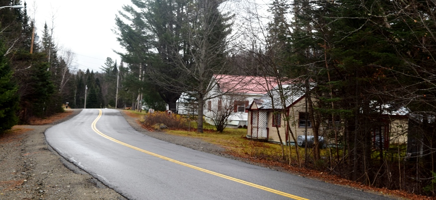
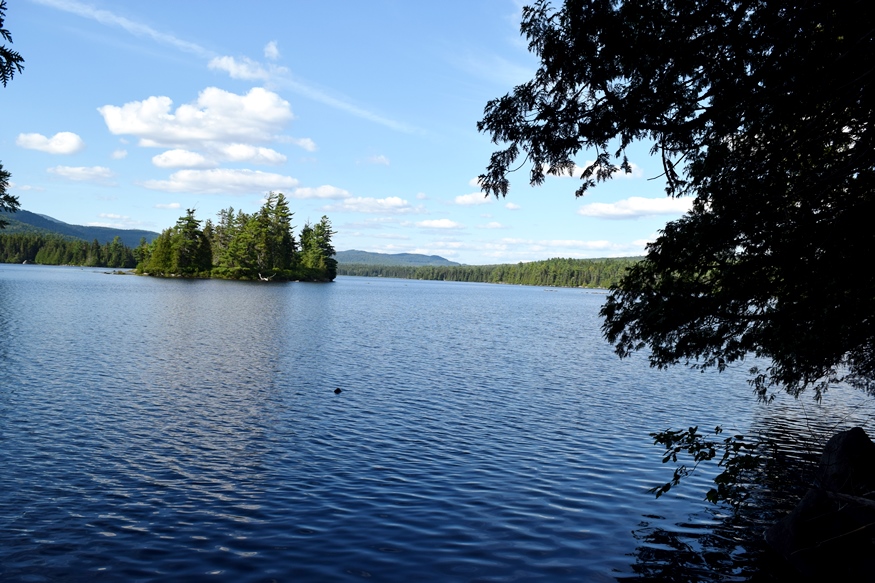
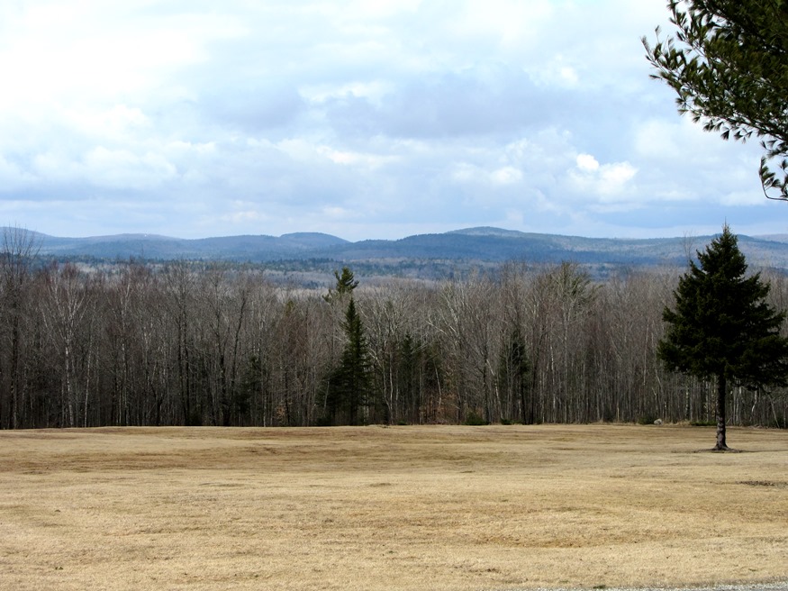
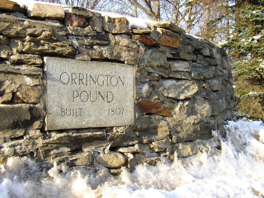
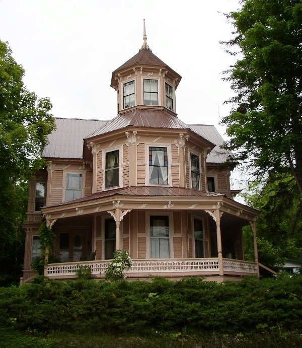
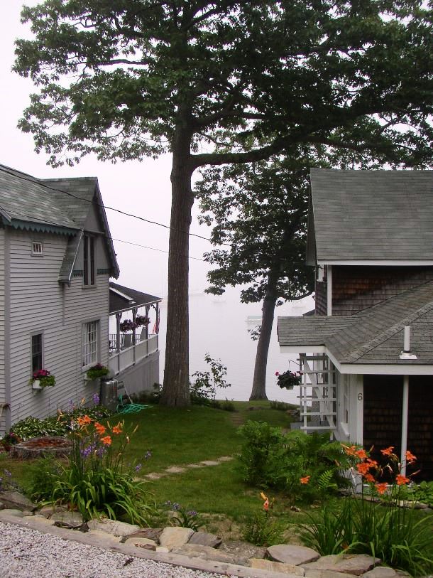
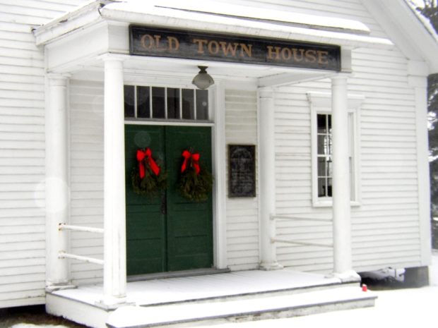
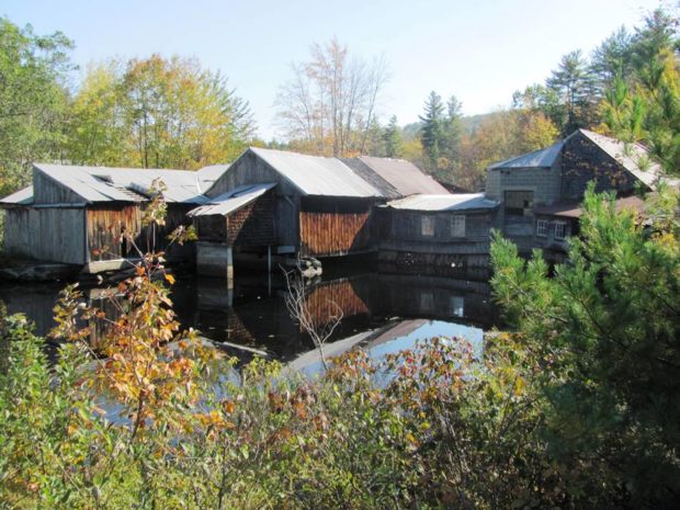
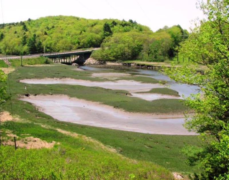
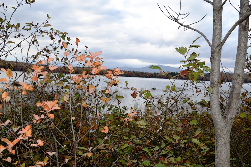
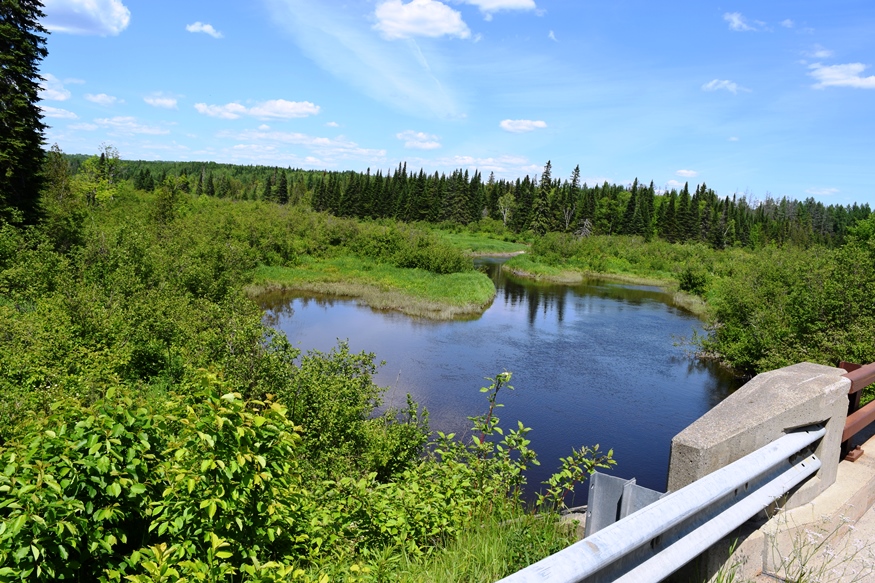
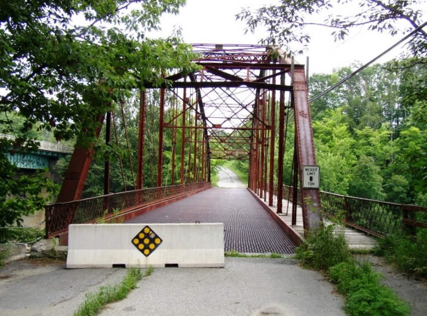
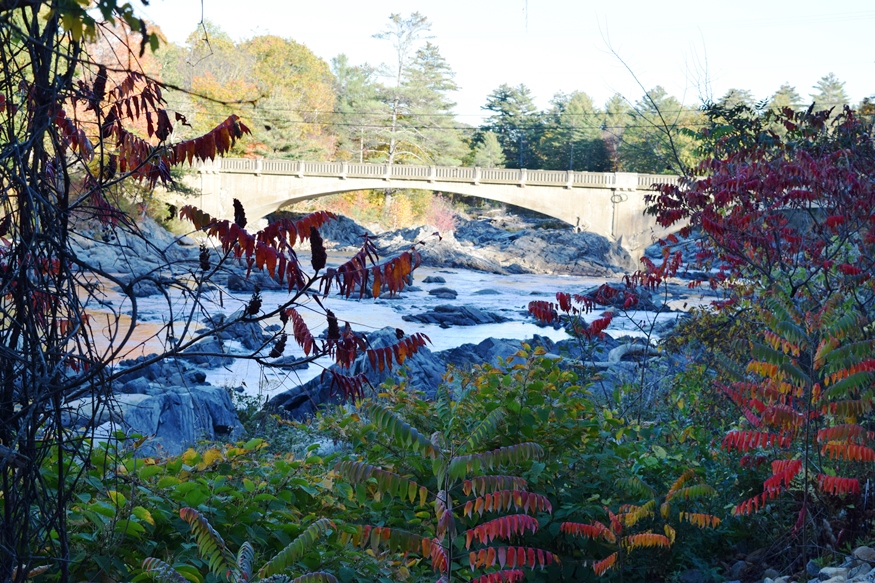
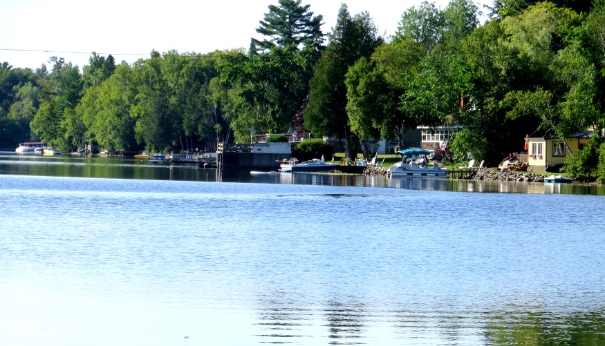
Located just north of Ellsworth, the town is dominated by Floods Pond and Beech Hill Pond, with several smaller ponds and streams mixed in. See photos. The small, old cemetery and the working forest symbolize Otis’ past and present as a sparsely populated, wooded area off the major highways.

Public Reserved Lands

Richardson Pond in Adamstown Township from Richardson Pond Road in Lincoln Plantation (2018)

Richardson Pond in Adamstown Township from Richardson Pond Road in Lincoln Plantation (2018)   History “Maine’s “Public Reserved Lands” have a unique history. Separate from the state park system and Baxter State Park, and from more recent purchases under the “Land for Maine’s Future” program, these lands have their origin in the “public lots” that…

Osborn Plantation

Panoramic View of Mountains looking West from Route 179 in Osborn (2013)

Osborn hosts two lots of Maine’s Public Reserved Lands with many trees well over 100 years old. The Osborn lots have a long history of timber management. Spectacle Pond, through which the Union River flows, is a major asset of the town. With few major roads, it is served in its northwest corner by Maine Route 179.

Orrington

1807 Orrington Cattle Pound (2003)

The town, on the east bank of the Penobscot River, is a suburb of the Bangor-Brewer area, showing moderate but consistent growth in recent decades. As part of the agricultural tradition throughout Maine is the usually circular, rock walled cattle pound, often used as a site to buy and sell farm animals, and to hold wandering livestock to keep them from destroying crops.

Ogunquit

Grand House on the Shore Road in Ogunquit overlooking Perkins Cove (2013)

Ogunquit, before 1980, was a village corporation and functioned for the most part as a town of its own, supporting its own police, fire, highway and sewer departments. The town is a well known actors and artists colony, featuring the historic Ogunquit Playhouse and beautiful beaches. Perkins Cove, south of the main village on Shore Road, combines a working waterfront, a restaurant, an art museum, and fine cottages.

Norway

One of Several Houses of interesting design in Norway (2003)

Norway-South Paris is a community of two adjoining towns serving as a retail center for southern Oxford County. It includes a commercial strip with the usual array of auto dealerships and fast food. Pennesseewassee Lake, the largest of several in the town, abuts the main village and contributes mightily to local recreational opportunities. A clerical “correction” of the originally proposed “Norage,” the Indian word for falls, resulted in the name Norway.

Northport

The modest Northport Music Theater features contemporary American musical theater. See photos. In addition to its long coastline facing Islesboro on Penobscot Bay, the town has frontage on the three-mile long Pitcher Pond and all of its Knight Pond. The historic Bayside village, of closely space summer cottages, lies off U.S. Route 1. St. Clair Preserve protects nearly all of unspoiled Knight’s Pond with 304 acres of mixed forest, bogs, swamps and fields has been home to black bears, bobcats, fishers, foxes, and deer.

North Yarmouth

North Yarmouth’s rapidly growing community, nearly triplng its population since 1970, is within easy reach of Yarmouth, Brunswick, and the greater Portland area. King William’s War started here when Indians attacked the settlement in the late 1680’s.

Newport

Bird in its safe habitat near the Sebasticook River in North Newport (1014)

Newport features the six-mile long Sebasticook Lake, providing recreational opportunities for residents and summer visitors. Drought conditions in 2002 lowered the water level substantially. See photos. Prior to the opening of what became the Maine Central Railroad in 1855, Newport was a center of stage coach transportation. Newport is still a heavily traveled crossroads, now of Interstate 95, U.S. Route 2, and Maine Routes 7, 11, and 100. The area east of Sebasticook Lake is known as East Newport.

Newfield

The old center of Newfield village was destroyed by the great forest fire of 1947. See photos. The Willowbrook Historic District covers this area and the buildings that survived the fire. In 1984 the application to establish the historic district reported “Very little change in the buildings or landscape has occurred in the last one-hundred years so that the sense of time and place of a remote southwestern Maine rural community of the 19th century remains strongly present.” At the source of the Little Ossipee River, and dotted with ponds and streams, Newfield is a rapidly growing community about twenty miles northwest of Sanford

Newcastle

Deer Meadow Brook from Frank Steele Woods in South Newcastle (2011)

Damariscotta Lake is a major destination for adult alewives with intentions of spawning the next generation. The fishway near the dam at Damariscotta Mills in Newcastle provides access to and from the lake. See photos. Newcastle, located on U.S. Route 1 just west of the Damariscotta River, is home to Maine’s oldest Catholic Church, St. Patrick’s, completed in 1808. Several nature preserves in Lincoln County are in Newcastle. Nearby Great Salt Bay is protected by Maine legislation and is the state’s first marine shellfish protected area.

Newburgh

Small Waterfall on the West Branch of Souadabscook Stream (2014)

Settled in about 1794, the town is on the old stage route from Bangor through China to Vassalboro near Augusta. Newburgh Center village is on combined U.S. Route 202 and Maine Route 9. See photos. The Kennard Road hiking trail, originally developed by the Newburgh Heritage Trust, is a one-mile walk, with parking available.

New Vineyard

Porter Pond in New Vinyard; probably Saddleback Mountain in distance (2017)

Framed by the Carrabassett and Sandy Rivers, this irregularly shaped town’s main village lies on Maine Route 27 between New Portland and Farmington. See photos. The Maine Wood Turning company is on Route 27 in the village. Nearby Bauds, Mill, and Lily ponds, and frontage on Porter Lake, provide wide fishing and recreational opportunities.

New Sweden

Little Madawaska River, a tributary of the Aroostook River, crossing Jemtland Road in New Sweden (2016)

After the Civil War, Maine, like other states, was losing population to the great westward migration. A conscious public policy of encouraging Swedish immigration resulted in the very successful settlement of Swedes in New Sweden. Just northwest of Caribou on Maine Route 161, the town is just south of Stockholm.

New Sharon

1916 Bridge over the Sandy River in New Sharon (2003)

just east of Farmington, has been growing consistently in population over the past four decades. New Sharon village straddles the Sandy River, which winds through from Farmington on its way to Starks and then Norridgewock where it enters the Kennebec River. The 1916 steel bridge, now retired from service, crosses the river at the end of the main street.

New Portland

Bridge over the Carrabassett River in New Portland (2017)

North New Portland hosts Morton’s Country Store, the Community Church, and Chase Memorial Hall. This village lies at the junction of routes 146 and 16, with Gilman Stream, and its Dam, flowing through it. See photos. The Carrabassett River, with its spectacular rocky bed, passes through East New Portland Village and under an arch bridge.

New Limerick

Cottages in New Limerick at Nickerson Lake (2012)

In the 1880’s the town had a large tannery, two saw mills, and a starch factory. It has frontage on Drew and Nickerson lakes, along with a half-dozen small ponds. See photos. The main village of the town, just west of Houlton, nearly surrounds Nickerson Lake, which it shares with Linneus. It is the birthplace of Dora Pinkham, the first woman to served in the Maine Legislature.

New Canada

Power Lines and Cropland off the Caribou Road in New Canada (2018)

Daigle is the principal village in the town, which is located just south of Fort Kent on Maine Route 161 near Daigle Pond. Boat launching facilities are available on the small chain of First Lake, Second Lake, and Third Lake in the southwest corner of the town. A section of Maine’s Public Reserved Land, the New Canada lot, is a 1,000-acre original public lot located north of the Eagle Lake Unit.

Nashville

Location Map for Nashville

Located northwest of Ashland and south of Portage Lake on Route 11. Little Machias Lake, through which the Little Machias River runs, is in the northwest corner of the plantation. Nashville hosts two lots of Maine’s Public Reserved Land, of which about 10% of the acreage is reserved for wildlife, with the remainder allocated to timber management and harvesting.

Moxie Gore

Small Village on the Lake Moxie Road in Moxie Gore (2019)

Moxie Gore is an unorganized township in Somerset County bordering the east bank of the Kennebec River just above The Forks Plantation.  Its odd shape earns it the name “Gore.” Moxie Stream is the outlet for Moxie Pond, which straddles The Forks and East Moxie Township to the southeast. Before joining the Kennebec River, the…