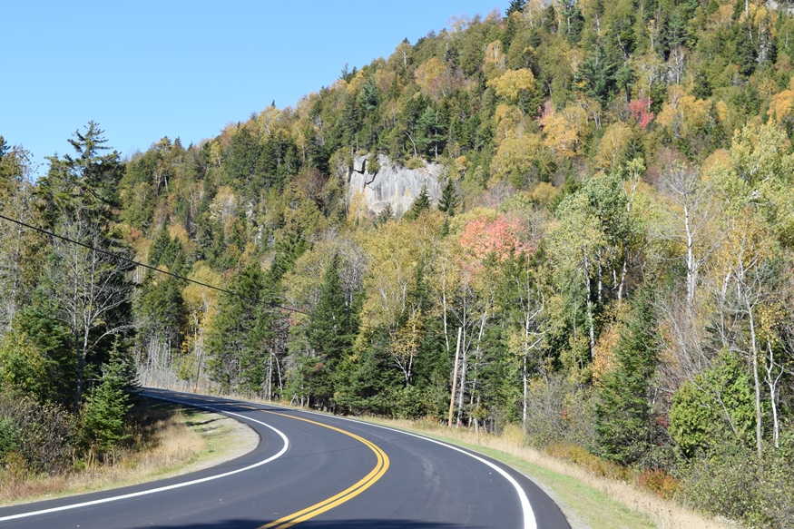
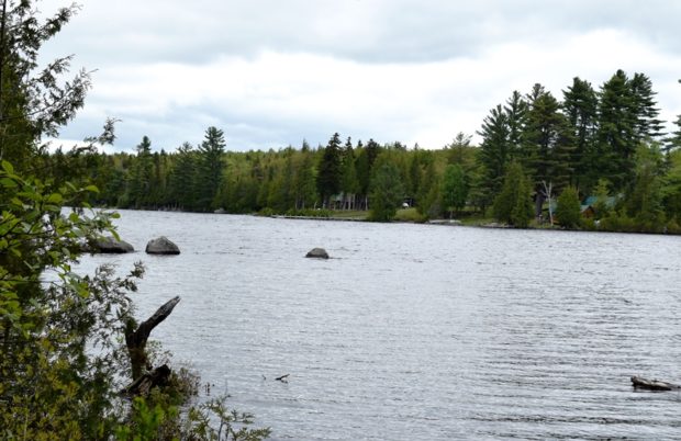
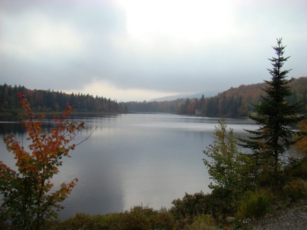
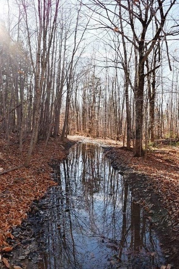
Brownfield

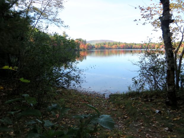
Named for Captain Henry Y. Brown, who received a land grant for service in the French and Indian Wars, the town sits between the New Hampshire border and the Saco River. The Stone Mountain Arts Center, with excellent attractions and food, brings visitors from long distances. See photos.

TA R11 WELS

View from Little Boardman Mountain

View from Little Boardman Mountain (2007) The township is immediately west of TA R10 WELS, host to the next northerly section of the Appalachian Trail. Heading south, the AT follows Cooper Brook to Crawford Pond, the to the East Branch of the Pleasant River. Two AT shelters may be found in the township, one in…

TB R11 WELS

A view from the ridges in TB R11 WELS 2007

          A view from the Appalachian Trail on ridges in TB R11 WELS (2007) This township, in Piscataquis County, is immediately southeast of TA R12 WELS, host to the next northerly section of the Appalachian Trail. The AT briefly (about two miles) passes through the northwest corner of the township as…

Elliottsville Township

Little Wilson Stream

Incorporated as a town, February 19, 1835,its incorporation was repealed May 26, 1858. Later reorganized as a plantation, January 3, 1887, it was deorganized March 31, 1983. Elliottsville is home to more than a dozen small ponds and the three-mile long Lake Onawa. The lake and southern portion of the township is accessible on the…

Bowtown Township

Pierce Pond in

Pierce Pond in Autumn (2007)   Bowtown Township is bound by the Kennebec River on the east for six miles, across the river from The Forks, and by the Dead River on the north. Dead River Mountain and Otter Pond Mountain reside within the township. Known as T1 R4 BKP WKR township, it was organized…

Wyman Township

The Horns Pond on Bigelow Mountain (2003)

The Bigelow Public Reserve Land tract is located in Wyman Township, Bigelow Township, and Dead River Township in Franklin and Somerset counties. All three townships are contiguous and lie just south of Flagstaff Lake. East of Stratton in the town of Eustis, about 40 miles north of Farmington, it holds over 36,000 acres of public…

Sandy River Plantation

Mountain Ranges from the Saddleback Mountain Trail on the AT (2004)

About 35 miles northwest of Farmington on Maine Route 4, just south of Rangeley, the community marks the source of the Sandy River in the Sandy River Ponds. See map, video and photos. Four Ponds Public Reserve Land lies just east of Mooselookmeguntic Lake. Access is by the Appalachian Trail off Route 4 in Sandy River.

Carrying Place Township

The township is immediately west of the Kennebec River, across from Caratunk, host to the next northerly section of the Appalachian Trail.  Access by road begins across the river from Bingham. A right turn  brings one to the Carry Pond Road, which proceeds north and becomes a gravel traveled way. The right fork about three…

Township D

                                    Beaver Pond on Route 17 in Township D 1940’s Township D Topographic Map This township is immediately west of Township E, host to the next northerly section of the AT. The Trail enters at the northeast corner…