Wade

Town of Wade on the North Side of the Aroostook River in South Wade (2015)

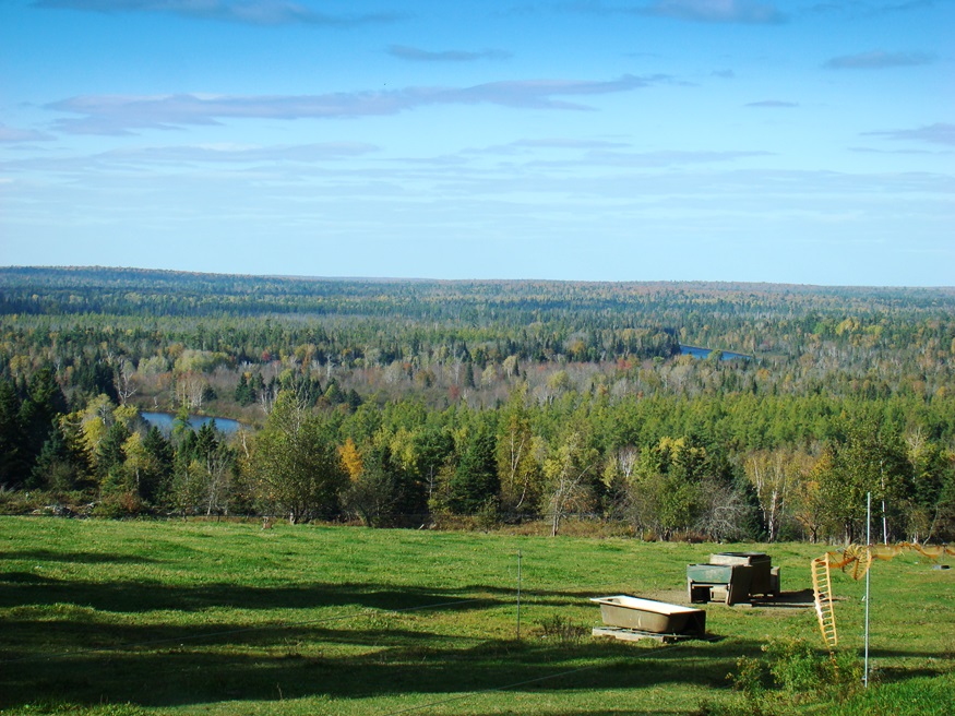
Once known as Garden Creek Plantation and Dunntown, Wade is just northwest of Presque Isle on the Aroostook River. North Wade is a small settlement on Maine Route 228 in the northeast corner of the township. The Aroostook River in Wade is part of one of Maine’s “Focus Areas of Statewide Ecological Significance.”

Oxbow

Panoramic View North from Oxbow Road (2008)

Virtually all of the plantation’s population is located along the Oxbow Road, leading West from Maine Route 11. See photos. Aroostook River through the area make shapes similar to oxbows, the harness that keeps oxen attached to their loads. The western end of the Oxbow Road is marked by the “Oxbow Checkpoint,” an entry point to the North Maine Woods, most of which is privately owned.

Masardis

Railroad Crossing in Masardis near Fraser Timber Mill on Route 11 (2015)

The Aroostook River flows northward through the middle of the township and by the village of Masardis. The small Pollard Flat Wildlife Management Area lies on the west bank of the river north of the village. A boat launch provides access to Scopan (formerly Squa Pan) Lake. Most of the Lake is in adjoining Scopan Township.

Garfield

North Maine Woods Checkpoint on American Realty Road in Garfield Plantation (2015)

has had population loss from 1970 through 2010. Realty Road runs east-west across the northern portion beginning at the Ashland town line. A hunting camp and lodge, and a section of Maine Public Reserved Land, are here. See map. Aroostook County’s Machias River flows through the plantation to join the Aroostook River in Ashland.