Andover West Surplus TWP
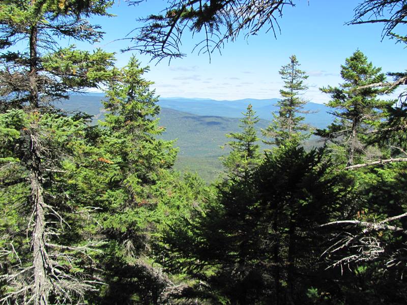
Panoramic View of the White Mountains from the AT (2011) Andover West township is immediately southwest of Andover North Surplus, host to the next…
"Those seeking cold, hard statistics on Maine communities won't be disappointed." —Bangor Daily News


Panoramic View of the White Mountains from the AT (2011) Andover West township is immediately southwest of Andover North Surplus, host to the next…
I think that I cannot preserve my health and spirits, unless I spend four hours a day at least—and it is commonly more than that—sauntering through the woods and over the hills and fields, absolutely free from all worldly engagements. – Thoreau “Walking”** Having entered Maine he Trail has its northern terminus at Baxter Peak…
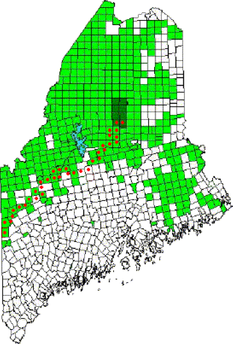
This is a clickable map of the Appalachian Trail in Maine, covering each of the 36 towns and townships through which the trail passes. Photos, maps, and videos illustrate the route.

Settled in 1772, known as Brookfield, Seven Mile Brook Plantation, and Titcomb Town, it is named for British Lord George Anson. In 1775, Benedict Arnold’s expedition camped at Norridgewock Falls, near the current town office.
click to enlarge Arnold led an expedition in 1775 from Massachusetts, up the Kennebec River and through the Maine woods to join General Philip Schuyler in an attempt to defeat the British at Quebec. It left Cambridge on September 11th under orders from General George Washington. Follow the expedition with the expanded version of…
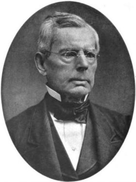
(1801-1881) was a U.S. Representative born in Wiscasset on May 10, 1801 where he attended the local schools. He moved to Belfast in 1815 and was employed as a clerk in the mercantile establishment of his uncle. Clerk of the Waldo County courts 1824-1836, Anderson studied law. Hugh Johnston Anderson was elected as a Democrat…
(1778-1835) a Democratic-Republican from Bath, born October 30, 1778, was acting governor 1821-1822 and President of the Maine Senate in 1824. He was born in Andover, Massachusetts and Harvard educated, moved to Bath in 1806 and was admitted to the bar in that same year. He had the good fortune early in his career to…
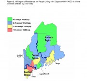
The following maps, created by the Maine Bureau of Health, illustrate the spread of AIDS cases over the past two decades. Click on each map to see a larger, clearer version. Figure 2.3 (figure numbers are from the 2009 DHHS report cited below) below illustrates Maine AIDS diagnoses by year of diagnosis from 1984 to…
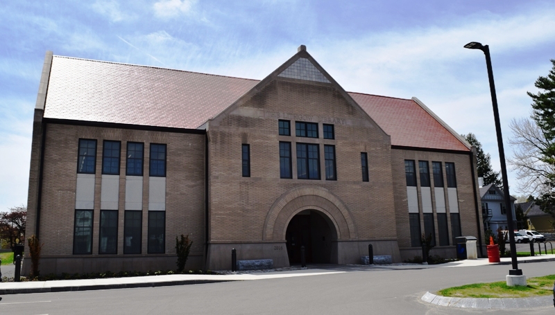
Lithgow Library, 2017 Addition to the 1896 StructureRegister of Historic Places – Augusta Photos, and edited text are from nominations to the National Register of Historic Places researched by Maine. Historic Preservation Commission.Full text and photos are at https://npgallery.nps.gov/nrhp Much of Augusta’s history is tied to…
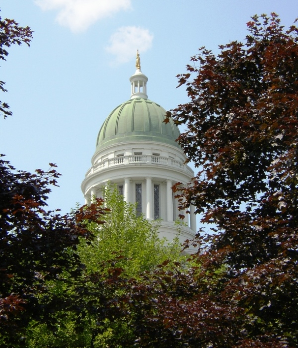
Capital since 1832, originally “Cushnoc,” it was the site in 1628 of the Pilgrims’ trading post, and in 1754, Fort Western. The Blaine House governor’s residence is here. The Pine Tree State Arboretum has 200 acres of rolling hills and meadows and a diversity of habitats.

Originally, the area was known to the Native Americans as Massabesic and was acquired from Chief Fluellin in 1661 by Major William Phipps. Later a Shaker community settled on a hill overlooking what is now called Shaker Pond. Alfred is the county seat of York County and was the site of a Civilian Conservation Corps camp in the 1930’s.
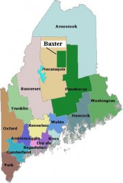
is home to Maine’s second largest population center – the Lewiston-Auburn area, and is fourth in overall population among Maine’s counties. It was established in 1854 by taking several towns from Cumberland, Kennebec, Lincoln, and Oxford counties. See an1858 map of the county in the Map Cabinet. A commercial and industrial hub, it has been…

the “rooftop of Maine,” John Steinbeck. This northernmost county, known as “the County,” is the state’s largest, established in 1839, during the “Aroostook War.” Famed for its potato growing, the County’s premiere crop has declined steadily, as has its population. Nevertheless, agriculture still dominates the County’s economy and its culture.
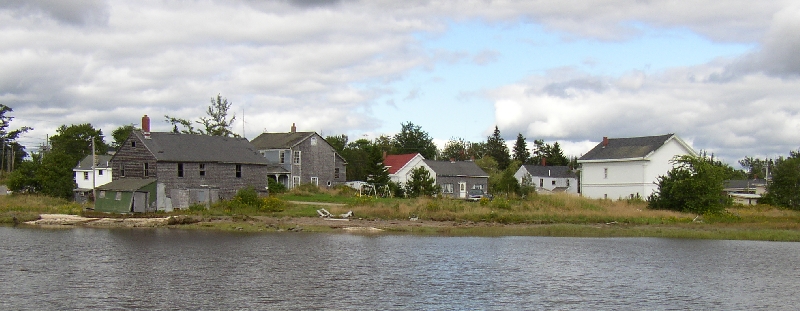
is a coastal town in Washington County, located at the junction of the Pleasant River and its West Branch, on a peninsular whose westerly portion comprises Cape Split in South Addison, and contains nature preserves, eagle nesting sites, and historic buildings.
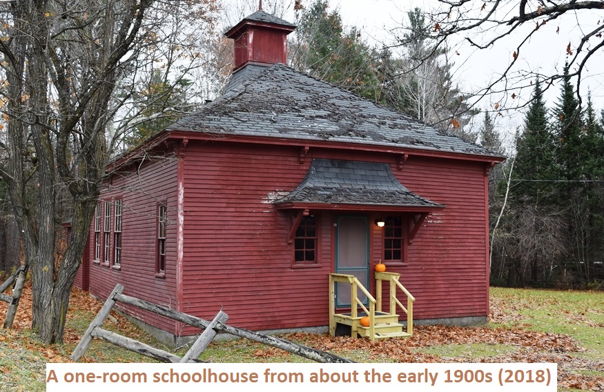
is a town in Piscataquis County, incorporated on January 31, 1827. It was one of several tracts granted to Bowdoin College in 1794 and was named for the College’s treasurer, John Abbott. (The final “t” in the town’s name seems to have been lost over the years.) In the 1870’s the town was prospering with two railway stations and a rail link to Bangor. Two covered bridges spanned the Piscataquis River.