Adamstown Township

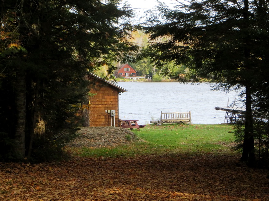
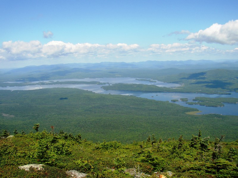
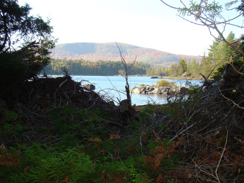
Cupsuptic Lake near Wilsons Mills Road (2018)

                                  This township in Oxford County is the site of Upper Richardson Maine Public Reserved Land and miles of lake shore on Cupsuptic and Mooselookmeguntic lakes. Route 16 cuts a diagonal northeast-southwest swath through the township. West Richardson Pond is…

Albany

The White Mountains (2013)

an unorganized township in Oxford County, was originally incorporated as a town on June 20, 1803 from its earlier designation as Oxford Plantation. It lies just south of the town of Bethel and on the edge of the scenic White Mountains National Forest in Western Maine. The town house, grange, and congregational church, all near Routes 5 and 15, are historic landmarks.

Bald Mountain Township T4 R3 NBKP

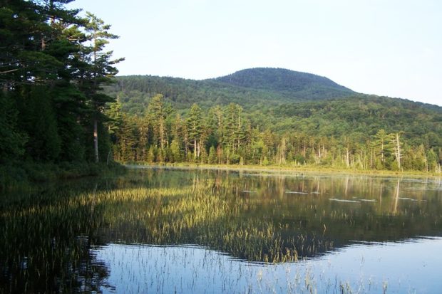
Mud Pond with view of Boundary Bald Mountain near the Bald Mountain Road in Bald Mountain Township (2014)

The township is north of Moose River in northwestern Somerset County. It should not be confused with Bald Mountain Township T2 R3 BKP EKR, which contains a section of the Appalachian Trail, in northeastern Somerset County east of Caratunk. The township apparently was once a Plantation. The U.S. Census reports four years of population counts:…

Barnard Township

This is a small, irregular boot-shaped township north of Sebec in Piscataquis County. Barnard Corner is a modest village in the southeast.  The only improved road is a north-south stretch of about four miles with three names: Sebec Village Road (south), Barnard Road (middle) and Austin Road (north). The landscape contains no lakes, ponds, or mountains.…

Batchelders Grant Township

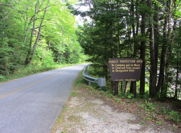
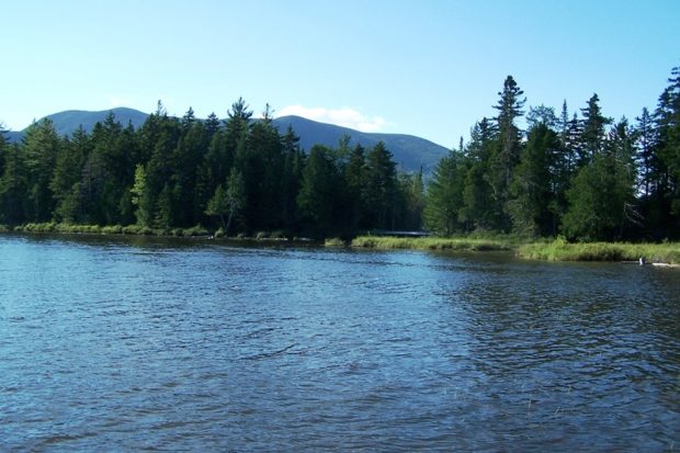
Forest Protection Area in the White Mountain National Forest on Maine Route 113, Wild River at Right (2013)

This township in Oxford County was named for the original grantee, Josiah
Batchelder. It borders New Hampshire in the White Mountain National Forest.

Maine Route 113 runs north-south through the township. Portions of the road, also known as the Evans Notch Road, are closed during the winter. Access is then from Gilead in the north or from Stow in the south.

Evans Notch, in the southern portion of the township, is a deep cut among the White Mountains. It is a popular hiking location using the East Royce Mountain Trail to that mountain from two points on Route 113.
Benedicta Township

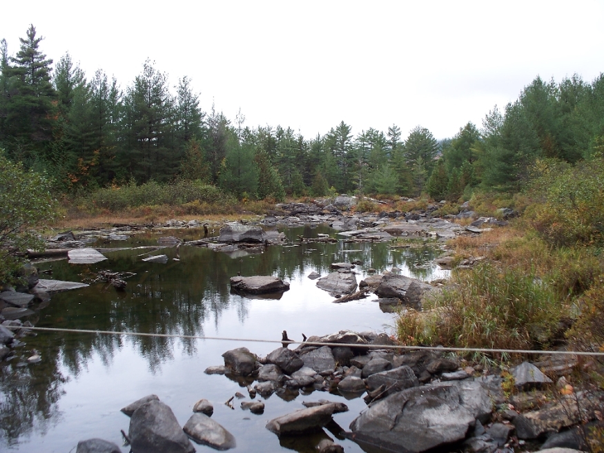
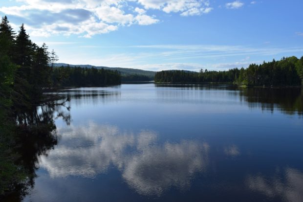
Plunkett Pond, locally known as Perry Pond, in Benedicta (2015)

Benedicta is located in southern Aroostook County. It was established as a plantation on February 1, 1873 with a population of about 400. Just over one-hundred years later, in 1987, it surrendered its plantation status and became an unorganized township administered by the State.     By 1970 it had reached a historic low of…

Big Moose Township

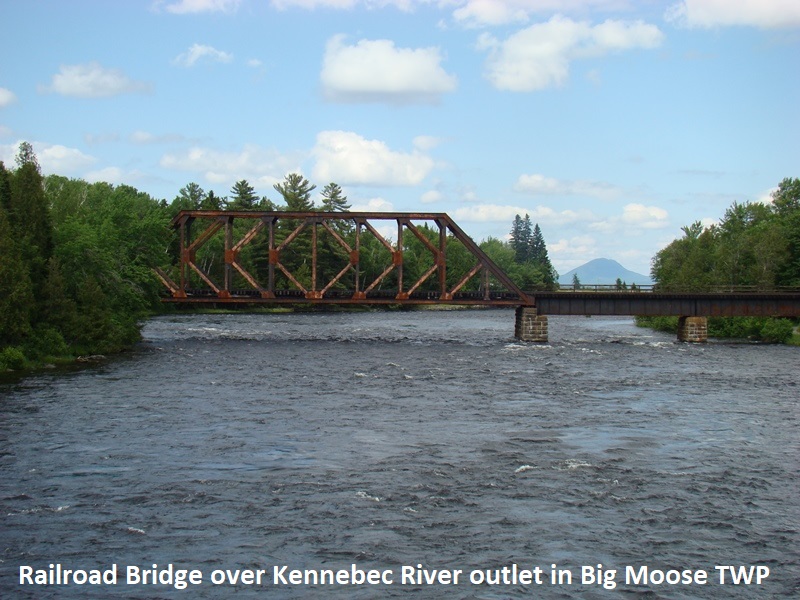
      With a long expanse on the southwest shore of Moosehead Lake, the Township stretches from the East Outlet of the Lake, the source of the Kennebec River, to the outskirts of Greenville on the combined Route 6 and 15. The Kennebec in the north moves through the long stretch of Indian Pond,…

Bowdoin College Grant West TWP

[T8 R10 NWP] is located immediately east of Greenville, accessible from that town’s  East Road, then the K1 Road which travels through the township to Gulf Hagas. The K1 road is private and travelers must stop at the North Maine Woods Hedgehog checkpoint on the way to Little Lyford Ponds and Katahdin Iron Works. See…

Bowtown Township

Pierce Pond in

Pierce Pond in Autumn (2007)   Bowtown Township is bound by the Kennebec River on the east for six miles, across the river from The Forks, and by the Dead River on the north. Dead River Mountain and Otter Pond Mountain reside within the township. Known as T1 R4 BKP WKR township, it was organized…