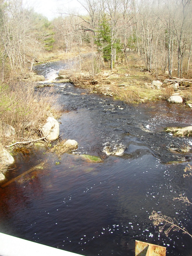
Hemlock Stream as it crosses Route 116 in Argyle
-

- Communications Tower on Tower Road in Argyle

-
- Street Name Signs: Argyle Rd, Southgate RD, Edinburg Rd

-
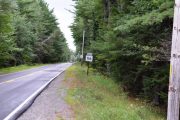
- Route 116 south of Argyle Village
-
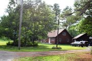
- House and Cars on Argyle Road in Argyle
-
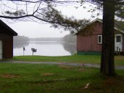
- Penobscot River and house in Argyle on Route 116
-
- Alton Elementary School at 22 Argyle Road in Alton

-
- House in Argyle on the Argyle Road


Location Map for Argyle
| Year | Population |
|---|---|
| 1970 | 155 |
| 1980 | 225 |
| 1990 | 202 |
| 2000 | 253 |
| 2010 | 277 |
| Geographic Data | |
|---|---|
| N. Latitude | 45:03:15 |
| W. Longitude | 68:40:22 |
| Maine House | District 13 |
| Maine Senate | District 30 |
| Congress | District 2 |
| Area sq. mi. | (total) 26.7 |
| Area sq. mi. | (land) 26.7 |
| Population/sq.mi. | (land) 10.4 |
County: Penobscot
Total=land+water; Land=land only |
|
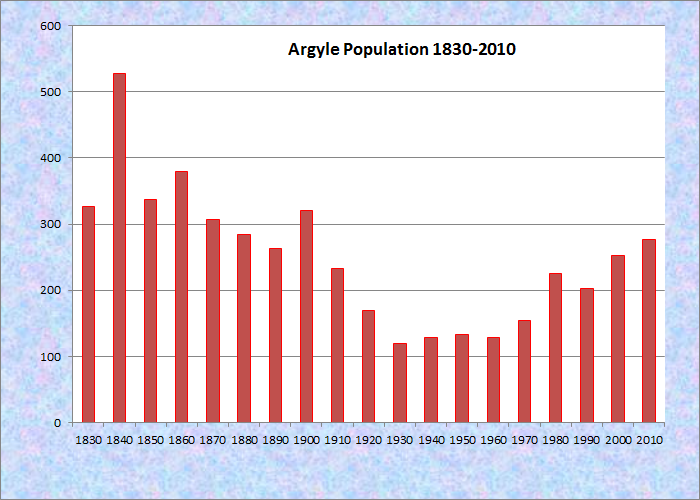
Population Trend 1830-2010
")
The “Argyle Road” from Route 16 in Alton to Route 116 in Argyle (2005)
This unorganized township in Penobscot County was originally incorporated as a town on March 19, 1839, but was deorganized less than one hundred years later on January 1, 1938.
Located on the old stage route (now Route 116) along the Penobscot River from Old Town to Edinburg, it shares the Scottish origins of the latter, Argyle being a county in West Scotland.
One of the early settlers was John Buzzell, a grandson of John Buswell the first settler in Bangor in 1769, who arrived in 1810.
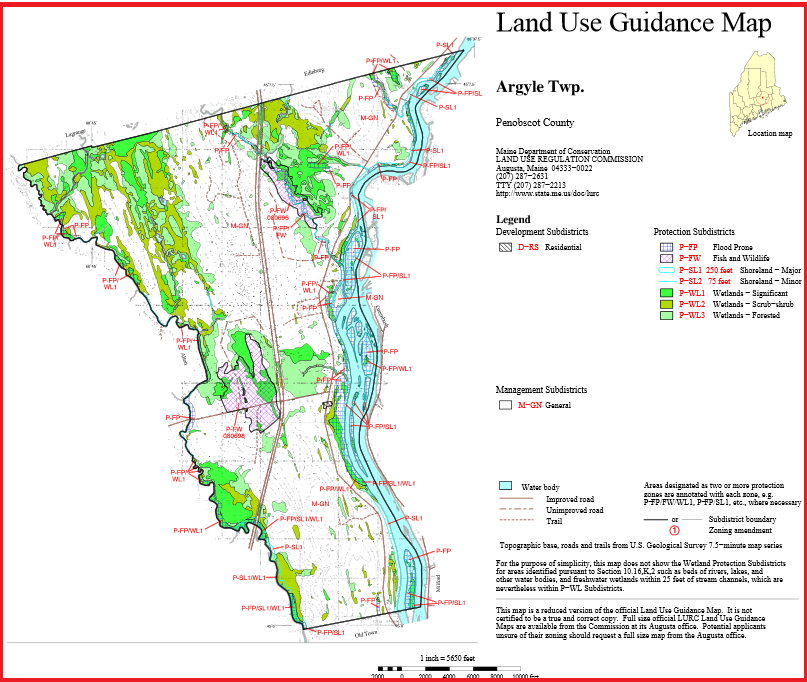
Argyle Land Use Guidance Map 2014
Current residents appear to value their privacy in this primarily wooded community with many mobile homes set back from the road.
The Maine Land Use Regulation Commission is, in effect, Argyle’s planning board, identifying sensitive natural areas and applying standards for appropriate development.
Additional resources
Buzzell Family. Family papers, 1856-1912. Special Collections, Fogler Library, University of Maine. Orono.
Maine. Land Use Regulation commission. “Land Use Map, Argyle Twp.” http://www.maine.gov/dacf/lupc/plans_maps_data/zoning_maps/maps/Penobscot/argyle-twp_11x17.pdf (accessed November 11, 2014)
Records of Births and Deaths in Trescott, Maine, Letter E Plantation, Maine and Argyle, Maine. 1953.
2020