Acadia National Park
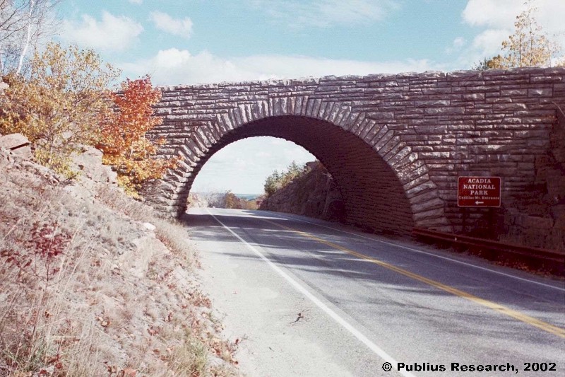
is in Hancock County on Mount Desert Island, about which explorer Samuel de Champlain created the first reliable European record in 1604. Through the gateway town…
"Those seeking cold, hard statistics on Maine communities won't be disappointed." —Bangor Daily News


is in Hancock County on Mount Desert Island, about which explorer Samuel de Champlain created the first reliable European record in 1604. Through the gateway town…
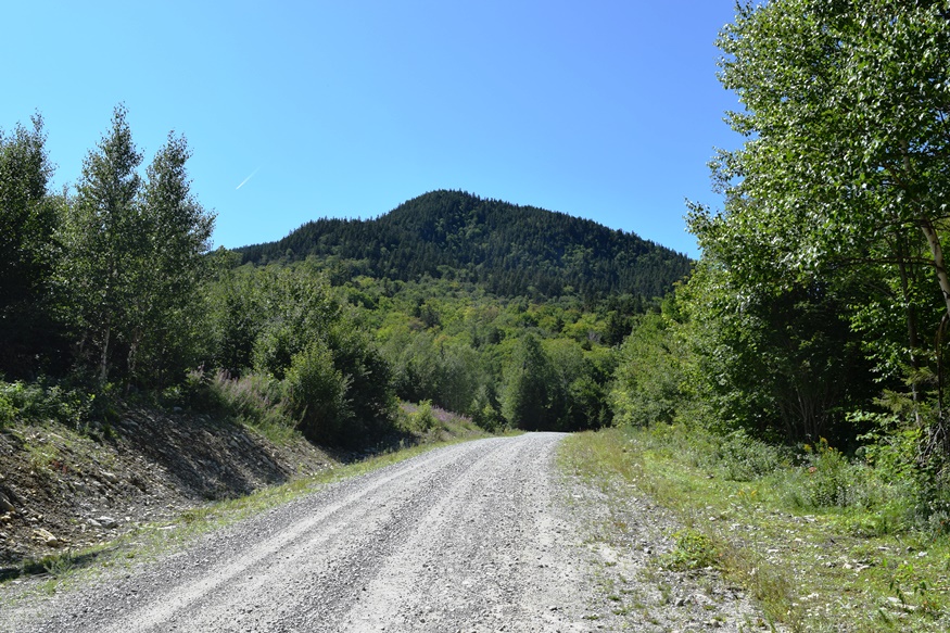
This Township in Somerset County has no village and probably no permanent residents. Spencer Road winds among several mountains from Hobbstown Township in the southeast to Skinner Township in the northwest. Greenlaw Mountain (2,991 feet) in its lower center and Number 5 Mountain in its northeast (3,168 feet) contribute to the mountainous landscape in…
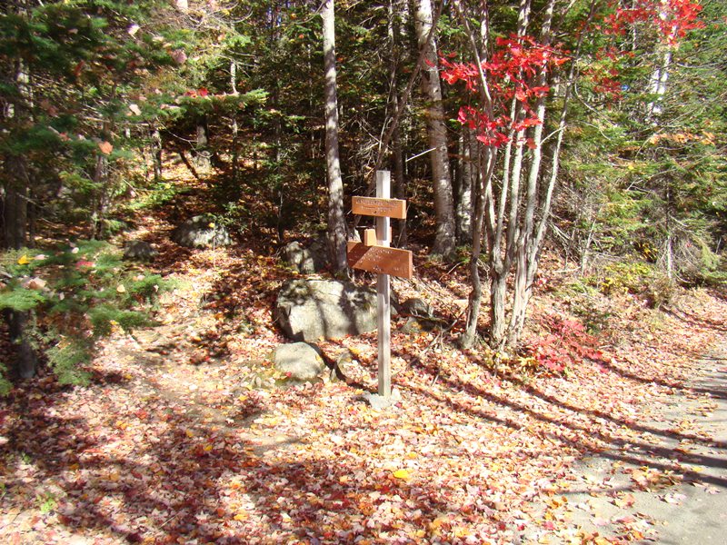
The mountain is in mid-eastern Somerset County immediately west of Blanchard, host to the next northerly section of the Appalachian Trail. It should not be confused with Bald Mountain Township T4 R3 NBKP, in northwestern Somerset County north of Moose River. Access is by taking the unimproved Townline Road north off Route 16 in Moscow,…
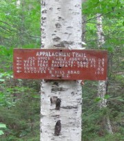
The trail to West Peak on Baldpate Mountain begins at the parking lot in Grafton Notch State Park. Located in Grafton Township on Route 26 in Oxford County, this part of the Appalachian Trail resumes at a small kiosk. The hiker moves through the woods for a short distance, then crosses the road to pick…
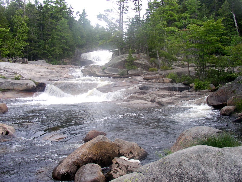
At night, he saw the stars in the sky in their fixed positions and the crescent of the moon floating like a boat in the blue. He saw trees, stars, animals, clouds, rainbows, rocks, herbs, flowers, stream and river, the glistening dew in the bushes in the morning, distant high mountains which were blue and…

With a long expanse on the southwest shore of Moosehead Lake, the Township stretches from the East Outlet of the Lake, the source of the Kennebec River, to the outskirts of Greenville on the combined Route 6 and 15. The Kennebec in the north moves through the long stretch of Indian Pond,…
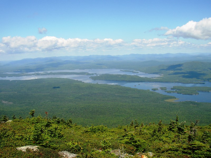
This is not Cedar Lake (an error) This small Bigelow (Township) in Somerset County township in Somerset County encompasses the northern section of the Bigelow Preserve of Maine Public Reserved Land. With no improved roads, access is from Stratton Village along the Old Dead River Road. One is soon at campsites and a trailerable…
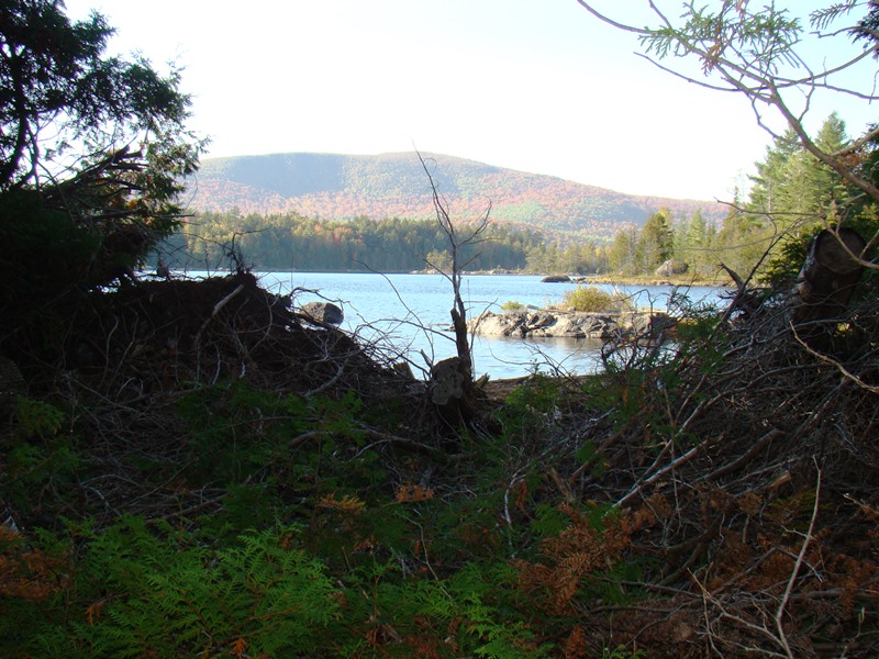
Pierce Pond in Autumn (2007) Bowtown Township is bound by the Kennebec River on the east for six miles, across the river from The Forks, and by the Dead River on the north. Dead River Mountain and Otter Pond Mountain reside within the township. Known as T1 R4 BKP WKR township, it was organized…
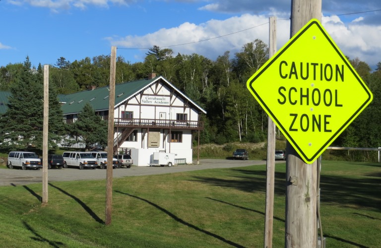
Home to Sugarloaf Mountain and its ski area, it has many related seasonal homes. The population has exploded in the latest census decade. A “ski academy” and a small airport are two enterprises based on the skiing economy. The Appalachian Trail passes north-south through the community along the western side of North and South Crocker Mountains. See video and photos.
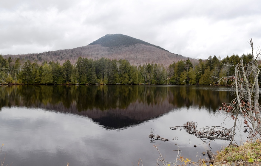
The Forks village is at the confluence of the Kennebec and Dead Rivers. Appalachian Trail southbound hikers enter from Caratunk at the southeast corner at the very southern tip of Moxie Pond, trekking over Middle Mountain, then north of Pleasant Pond over Pleasant Pond Mountain before reentering Caratunk.
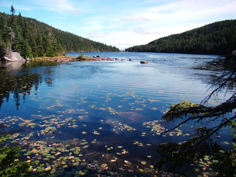
Grafton Notch State Park features the Notch formed by Old Speck Mountain and Baldpate Mountain on the Appalachian Trail. In the Notch, Screw Auger Falls has worn deep holes into solid rock by the swirling water of the Bear River.

June 1 2 3 4 5 6 7 8 9 10 11 12 13 14 15 16 17 18 19 20 21 22 23 24 25 26 27 28 29 30 1715 The new owner of the Pejepscot purchase petitioned the Massachusetts General Court for approval and support to create three new towns: Brunswick, Topsham,…
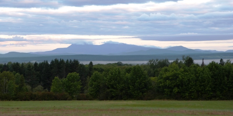
It was like sitting in a chimney and waiting for the smoke to blow away. It was, in fact, a cloud-factory,– these were the cloud-works, and the wind turned them off done from the cool, bare rocks. [Thoreau] Washington Irving described the Kaatskill Mountains as “a dismembered branch of the great Appalachian family…swelling up to…
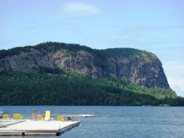
The map at left is the 1922 USGS 15 Minute Series, Moosehead Lake, ME Quadrangle, Northwest Corner, from the University of New Hampshire Dimond Library. The Kineo Cottage Row Historic District is a collection of seven wood-framed cottages built in conjunction with the Kineo Resort complex between 1901 and 1912. They were designed in the…

As with many rural Maine towns, Mars Hill is a community of pickup trucks as an essential tool of the farm economy. See photos. It shares a main street, U.S. Route 1, with neighboring Blaine. Mars Hill is located on the Prestile Stream where U.S. Route 1 forks to Presque Isle and Route 1A leads to Fort Fairfield. Established in the 1960’s, the Big Rock Ski Area on Mars Hill was purchased in 2000 by the Maine Winter Sports Center.
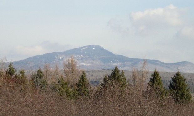
Home to the village of Shin Pond, which lies between Lower and Upper Shin Pond, the town is served by Maine Route 159, the Shin Pond Road. See photos. Mount Chase, the mountain, rises 2,440 feet in the eastern edge of the town and dominates the horizon there.

Maine has 711 mountains over 1,000 feet high. These are the 20 highest, including the vertical distance to be climbed from base to peak. Actual hiking distances are, of course, longer. Name County Height Above Sea Level Climb Above Base Katahdin Piscataquis 5,267 4,674 Sugarloaf Franklin 4,237 2,931 Old Speck Oxford 4,180 2,690 Crocker Franklin…
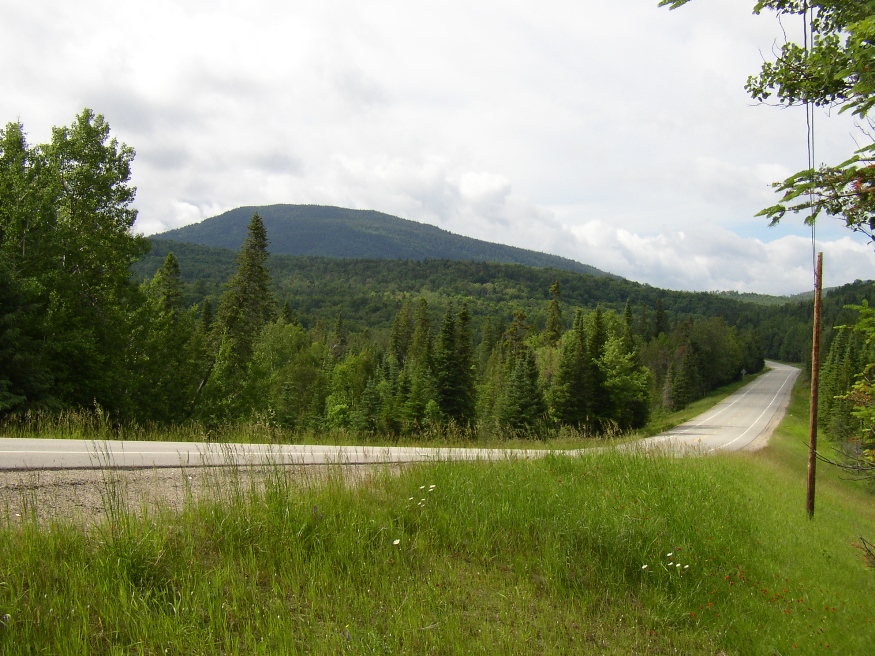
Sandy Bay is about seven miles north of Jackman Village on U.S. Route 201 and Maine Route 6 through Dennistown Plantation. From its township line beyond Dennistown, the two Routes continue northwest for about ten miles to the Canadian Border and customs facilities. The South Branch of the Penobscot River begins here, trending east through…

Potatoes and strawberries are components of its agricultural economy, and Mount Katahdin is an every day presence. See photos. The town, formed during the Civil War, was named for John Sherman, a prominent abolitionist U.S. Senator.
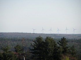
Wind turbines and wind “farms” of many turbines are sprouting all over Maine. Ridges and mountains are the most likely spots. As a result, they are visible for many miles and may intrude on enjoyment of hikers or residents near the devices. Electricity generated by the turbines displace that generated by other sources, including those…