Historic Preservation Commission, Maine
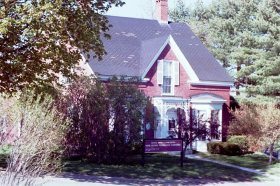
Maine Historic Preservation Commission (2001)

The Commission is responsible for the identification, evaluation, and protection of Maine’s significant cultural resources as directed by the National Historic Preservation Act of 1966. It is located at 55 Capitol Street in Augusta. It consists of eleven members as follows: The Commissioner of Transportation or  representative, the Commissioner of Conservation or representative and 9…

Harpswell, North

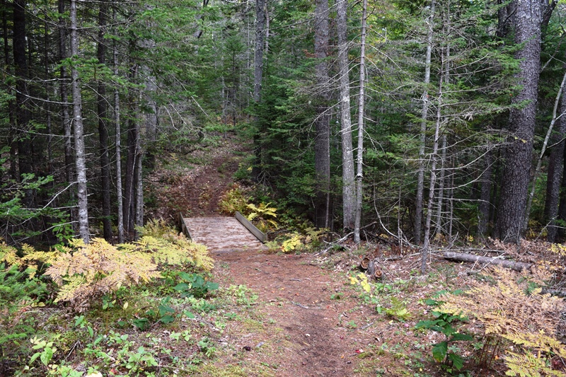
Otter Brook Preserve Trails in North Harpswell (2018)

In Harpswell, this is the northern most village on Harpswell Neck, the others being West and South Harpswell. It centers on the intersection of Route 123 from Brunswick and the Mountain Road, which links North Harpswell to the islands via the Ewing Narrows Bridge. Near the intersection: the Merriconeag Grange, the Vegetable Corner grocery, a…

Harpswell, West and South

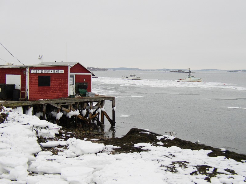
Dick

Among Harpswell’s villages at the southern portion of Harpswell Neck is West Harpswell, about two miles south of Harpswell Center. South Harpswell begins about a mile farther, where Route 123 branches to Ash Point Road, Basin Point Road, as well as continuing to Potts Point. West Harpswell is home to Mitchell Field,  a 119-acre Town-owned…

Clarke, Rebecca

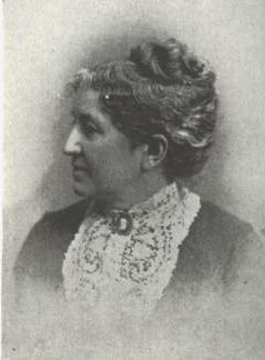
Rebecca Clarke/Sophie May

Rebecca Sophia Clarke (February 22, 1833-August 10, 1906), daughter of Asa Clarke, was born in Norridgewock.  After her education at the Female Academy in Norridgewock, she moved to Evansville, Illinois, living at the home of a married sister while she taught school. In 1858, progressive deafness forced her to give up teaching and she returned…

Roosevelts in Maine

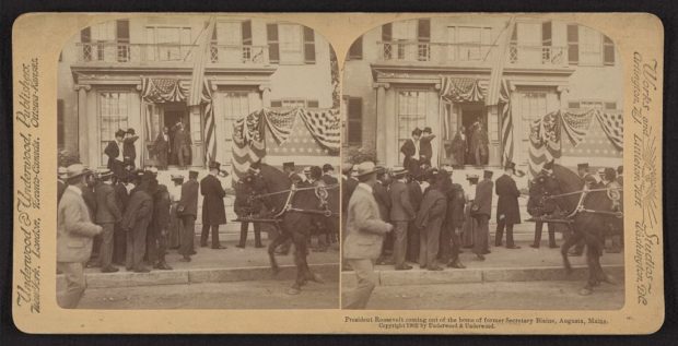
President Roosevelt coming out of the home of former Secretary of State Blaine, Augusta (1902)

This famous family had close ties with Maine from “Teddy” to “FDR.” Theodore “Teddy” Roosevelt, Jr. As early as 1878, Teddy Roosevelt began his long relationship with Maine and his personal guide, William Wingate “Bill” Sewall of Island Falls in Aroostook County.  They spent a substantial amount of time exploring what is now Katahdin Woods…

Poliquin, Bruce

Bruce Poliquin (1953-     ) was born in Waterville on November 1, 1953. He attended Phillips Academy in Andover, Massachusetts, graduating in 1972. He then graduated from Harvard University with a degree in economic in 1976. The 2014 Republican candidate for Congress in Maine’s second congressional district, he won his first popularly elected public office. In…

Haskell Island

Great Harbor Cove on Haskell Island (2010)

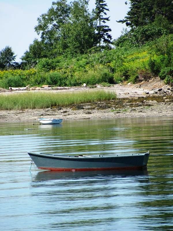
Haskell is an island in the town of Harpswell, not accessible by land. It lies at the edge of Casco Bay on the south end of Merriconeag Sound. A summer home to seasonal residents, the island retains many features of its earlier history. Once known as New Damariscove Island, then Pulpit, it was finally named…

Mattamiscontis Township

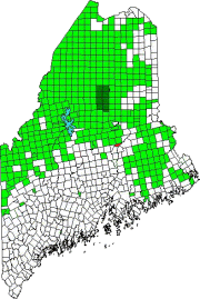
Location Map for Mattamiscontis Township

Mattamiscontis (also known as T1 R7 NWP) is located on the west side of the Penobscot River across from Lincoln and north of Howland.  Incorporated as a town on March 8, 1839, it surrendered that status on February 21, 1907 and is now an unorganized township. Other than Route 116 that runs along the Penobscot…

T1 R4 WELS nya

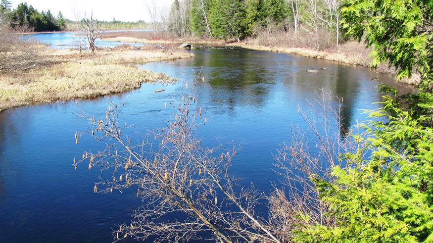
Macwahoc Stream upstream of the Bridge in T1 R4 WELS (2016)

Also known as North Yarmouth Academy Grant Township, it lies just east of T1 R5 WELS. It has no settled village. Macwahoc Stream and an associated bog dominate the northeastern portion. The only improved roads are U.S. Route 2 in the west (where the town line photo was taken in 2014) and U.S. Route 2A…

T1 R5 WELS

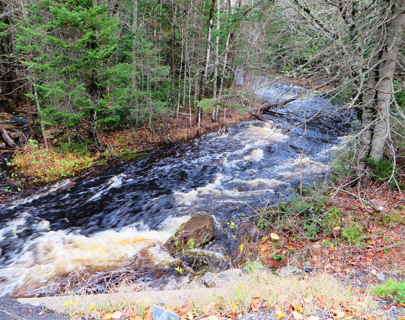
Gulliver Brook crossing U.S. Route 2 in T1 R5 WELS in Autumn (2014)

This sparsely populated township lies south of Benedicta and Silver Ridge Townships. The Aroostook Road from Benedicta to Molunkus village is the primary improved road, passing through the center of the township.  A small slice of the Nine Mile Woods Road (U.S. Route 2) cuts through its northeast corner. With frontage on two relatively remote…

Semipalmated Sandpiper

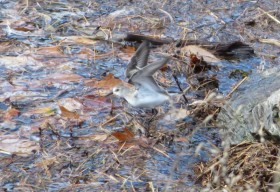
Semipalmated Sandpiper (2014)

This bird is one of several sandpipers in Maine.  The Semipalmated Sandpiper, described as perhaps one of the most numerous shorebirds in North America, is not a permanent resident, but is does migrate through the state. Those featured here passed through Harpswell in early October of 2014 at N43° 48′ 50.18″ W69° 56′ 40.90″.

Milton Township

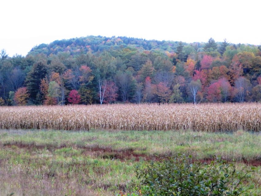
Corn Field in Milton Township on Route 232 in Autumn (2014)

This small township is surrounded by organized towns: Rumford, Bethel, Woodstock and Peru – all in Oxford County. About one mile of Route 232 is in the western corner and serves as the “Main Street” serving Milton Village. Several mountains, most of which are under 2,000 feet high, mark the landscape: Bean, Bryant, Chamberlain, Davis,…

Fuller, Melville W.

Maine’s only native to serve as Chief Justice of the United States Supreme Count was born in Augusta on January 11, 1833. Melville Weston Fuller was appointed to that post by president Grover Cleavland, taking the oath of office on October 8, 1888. After graduating from Bowdoin College Phi Beta Kappa in 1853, he studied…

Perkins, Frances

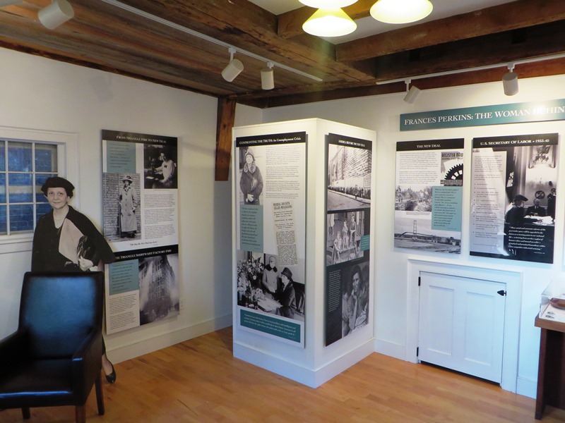
Frances Perkins Center on Main Street in Damariscotta (2014)

While she was born in Boston, Frances Perkins considered her family’s “Brick House” in Newcastle to be her home. As the National Park Service observed in its National Landmark Nomination document: The Perkins Homestead in Newcastle, Maine, is nationally significant as the ancestral home and lifelong summer residence of Frances Perkins, U.S. Secretary of Labor…

Killdeer

  [click  photos to enlarge ] This “shorebird” was far from salt water in a rough open area in Stacyville, northern Penobscot County near Aroostook County.  That was in late May 2012, a bit earlier than when Killdeer are normally expected to be in Maine for the summer breeding season. The changing climate may have…