Nequasset Brook Canoe Trip
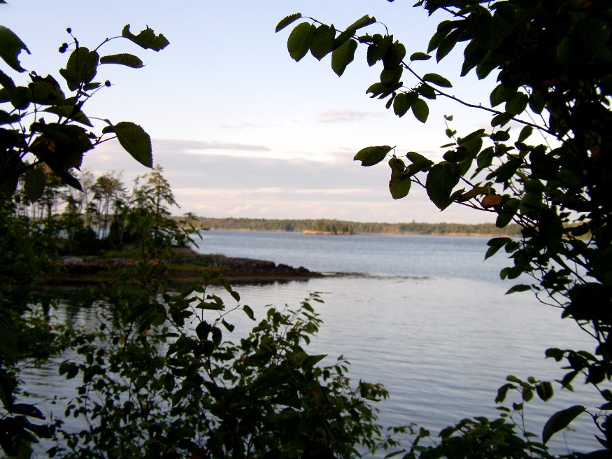
Nequasset Brook This canoe trip begins where the brook crosses the Old Stage Road in Woolwich. Heading upstream, one might detour to a meadow through a narrow passage. After winding through the woods, the landscape opens to fields as a small dam blocks free passage. Moving downstream, the slow flow of the fall current makes…
")


")

")

")
")