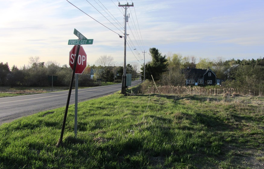
Street Name Sign: US HWY 1, Forest City Rd. (2013) on U.S. Route 1 in Brookton Township

Location Map for Forest City Township
Forest City Township in eastern Washington County was created as a plantation on February 15, 1887 from a portion of the town of Eaton. Eaton no longer exists as a town since its remaining portion was annexed to Danforth. Eaton village in Danforth sits at the southeastern shore of the four-mile long Crooked Brook Flowage (essentially a lake).
Forest Township, south of Forest City Township was an organized municipality until it surrendered that status effective March 1, 1924.
The U.S. Census ended its population count in 1930, grouping Forest City with other Washington County townships thereafter.
Forest City village is at the extreme northern end of this thumb shaped township, which is almost surrounded by water: on the west by The Arm, a long, narrow bay of Grand Lake; on the east by the St. Croix River.
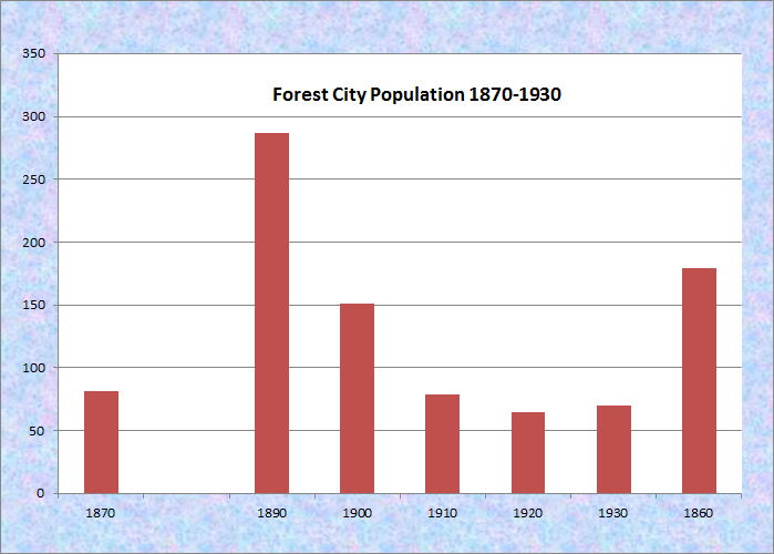
Population Trend 1870-1970
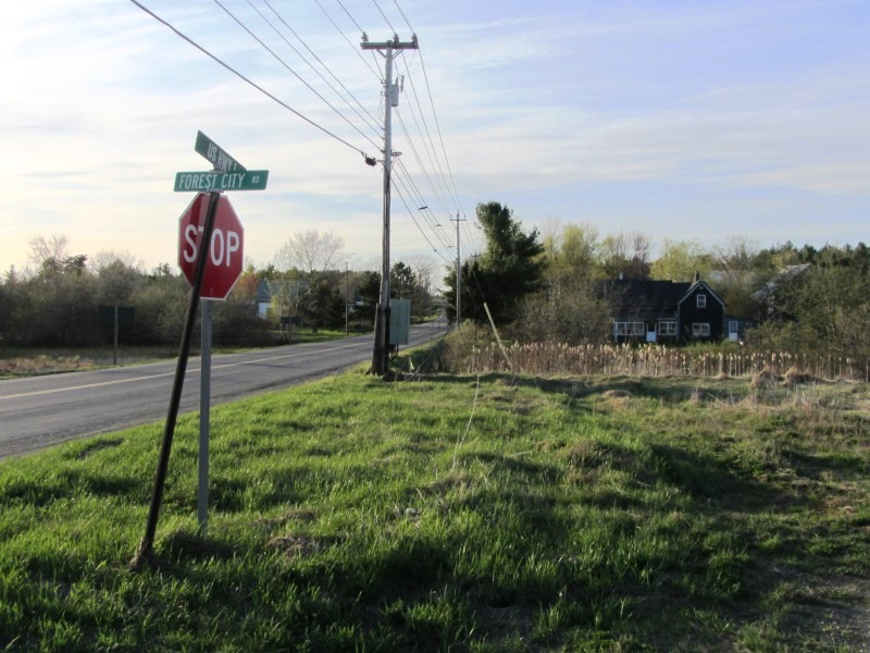
Forest City Road., Brookton (2013)
This township is just east of U.S. Route 1. The Forest City Road trends northeast from Brookton village in Brookton Township.
After passing through Forest Township, one arrives at Forest City Township where a border crossing to Canada is located. Within the United States, the only exit is back down the Forest City Road to Brookton.