Sandy River Plantation

Mountain Ranges from the Saddleback Mountain Trail on the AT (2004)

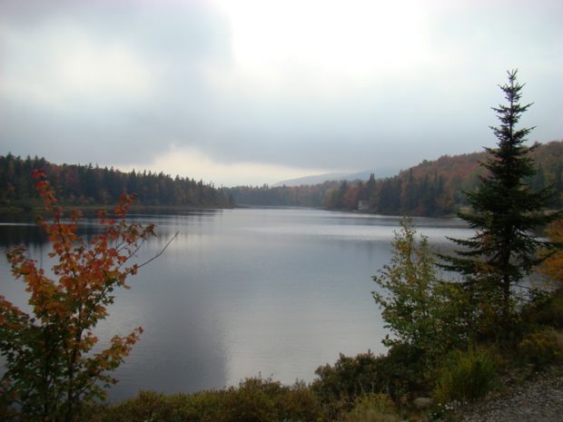
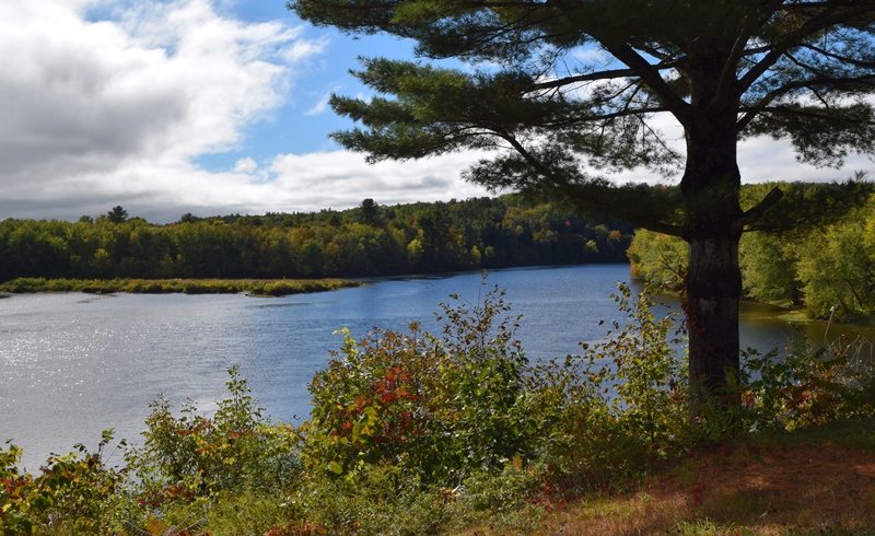
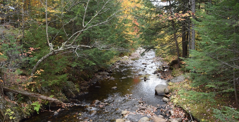
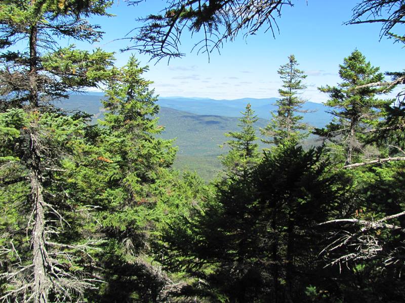
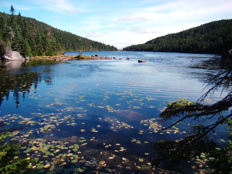
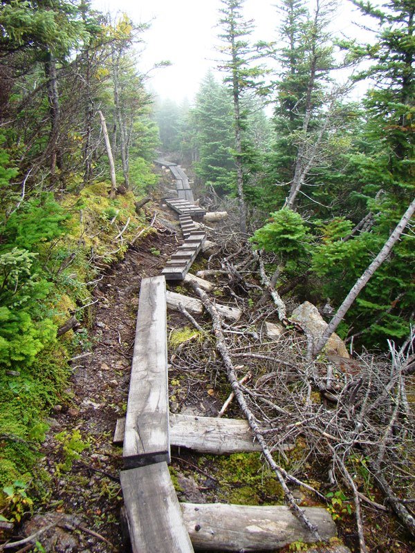
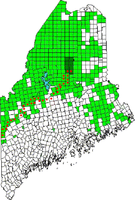
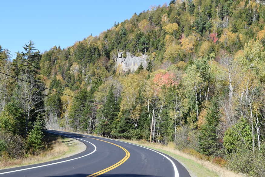
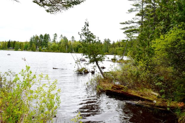
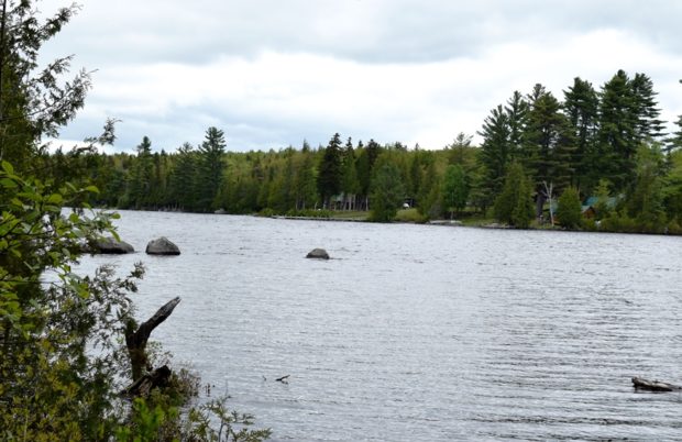
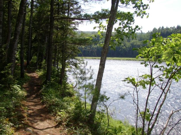
About 35 miles northwest of Farmington on Maine Route 4, just south of Rangeley, the community marks the source of the Sandy River in the Sandy River Ponds. See map, video and photos. Four Ponds Public Reserve Land lies just east of Mooselookmeguntic Lake. Access is by the Appalachian Trail off Route 4 in Sandy River.

Township E

Sandy River at Smalls Falls and Roadside Picnic Area on Route 4 (2017)

 Sandy River at Smalls Falls and Roadside Picnic Area on Route 4 (2007) Township E is south of Sandy River Plantation, host to the next northerly section of the AT after Township D. (E Township is a different township in Aroostook County.) Township E, almost triangular in shape,  extends eight miles from Long Pond in…

Township C

Detail of 1940

     Detail of 1940’s Township C Topographic Map This oddly shaped, [click Location Map for red location] trapezoidal township, not to be confused with the triangular C Surplus, is immediately west of Township D, host to the next northerly section of the Appalachian Trail. The trail travels about one mile in the township’s southeast…

Plantations

Plantation form of government was at first indistinguishable from that of a town. As Massachusetts gradually gained more Jurisdiction in the Province of Maine, the General Court would occasionally place a tax on a new tract and the inhabitants then met and elected plantation officers for the collection of that tax. After Maine became a…

Riley TWP

Boardwalks on the Goose Eye Trail (AT) in Riley Township (2007)

a township in Oxford County, just north of the town of Gilead on the border with New Hampshire. It is home to no lakes, few people, several mountains in the Mahoosuc Range, and the source of Sunday River. It is the entry point for the Appalachian Trail in Maine in a section of the state’s Public Reserved Land. From here it is 281.4 miles to go to reach the summit of Mount Katahdin.

Appalachian Trail

I think that I cannot preserve my health and spirits, unless I spend four hours a day at least—and it is commonly more than that—sauntering through the woods and over the hills and fields, absolutely free from all worldly engagements. – Thoreau “Walking”** Having entered Maine he Trail has its northern terminus at Baxter Peak…

Dead River and Flagstaff Lake

Location Map for Dead River and Flagstaff Lake

The bulk of Flagstaff Lake (maps on right) cover Flagstaff, Bigelow, and Dead River townships in western Somerset County. See also Bigelow Township.The North Branch of the Dead River (maps on left) flows through the town of Eustis. Comparing the course of the Dead River in 1928 (upper maps) with that in 1956 (lower maps),…

Carrying Place Township

The township is immediately west of the Kennebec River, across from Caratunk, host to the next northerly section of the Appalachian Trail.  Access by road begins across the river from Bingham. A right turn  brings one to the Carry Pond Road, which proceeds north and becomes a gravel traveled way. The right fork about three…

Caratunk

in Somerset County lies 40 miles north of Skowhegan on the Kennebec River, where both Pierce Pond Stream and Pleasant Pond Stream enter. The Appalachian Trail crosses the river aided by a canoe shuttle. Benedick Arnold marched through on his way to Quebec. See video and photos.

Township D

                                    Beaver Pond on Route 17 in Township D 1940’s Township D Topographic Map This township is immediately west of Township E, host to the next northerly section of the AT. The Trail enters at the northeast corner…

Norridgewock

Kennebec River (2018) downstream from The Pines in Old Point in Norridgewock near the British massacre of the Indian village in 1724.

The village straddles a bend in the Kennebec River at the junction of Maine Routes 8 and 139, and U.S. Routes 2 and 201A. See photos. The Sandy River empties into the Kennebec in the town. Benedict Arnold’s expedition passed through in 1775. Norridgewock was the home of author Rebecca “Sophie May” Clark, and U.S.Representatives Cullen Sawtelle and Stephen D. Lindsey.

Madison

Madison Paper Industries (2009)

The site of many mills in its history, its largest has been a paper mill at the dam where U.S. Route 201 crosses the Kennebec River from Anson. Until the end of the log drives in 1976, the river was often choked with pulp logs destined for this mill and others. The Lakewood Summer Theater, opened in 1901 in East Madison. Benedick Arnold passed through on his way to Quebec.

Skowhegan

Recorded as Skwahegan in early reports, the name means “watching place for fish,” drawn from the falls in the Kennebec River that harbored salmon. See photos. Local Indians speared them as they attempted to scale the falls. Textile and shoe manufacturing were major employment options for local residents during the late 19th and early 20th centuries. Once home to Camp Modin, a camp for Jewish boys and girls until 1992, Lake George Regional Park is split between Skowhegan and Canaan.