Yellowtail Flounder Landings
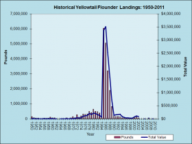
Yellowtail Flounder Landings 1950-2011

This species of the commercial fishery has a post-1950 history familiar to many others: moderate or low production, then a spike with several years of substantial landings, then a crash followed by a forced closure to rebuild the stock. It appears that once the good landings created a wide market, the price per pound moved…

York

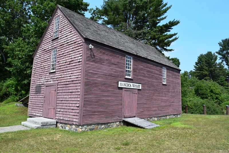
1787-1794 John Hancock Warehouse and Wharf in York (2018)

Most of the town’s inhabitants are located between U.S. Route 1 (inland) and U.S. Route 1A which runs along the coast. Its population has more than doubled in the past thirty years, and grew by nearly 31 percent between 1990 and 2000. Beaches and cottages characterize the coast.

Yarmouth

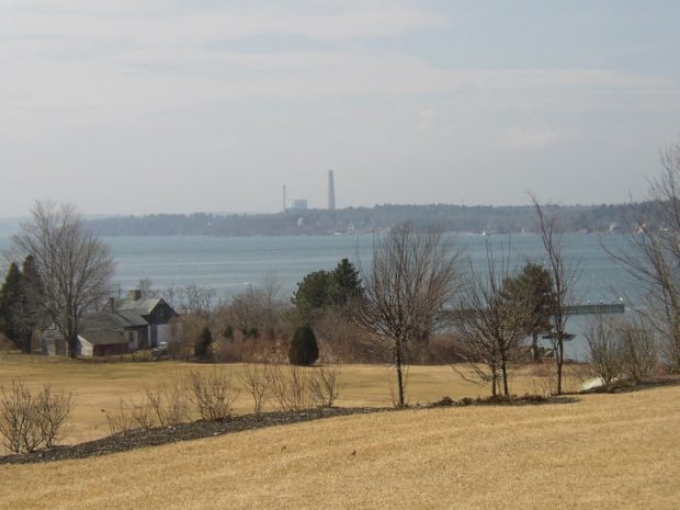
Yarmouth is a coastal town northeast of Portland on I-295 and U.S. Route 1. See photos. It is home to the Delorme Mapping Company and North Yarmouth Academy. Cousin’s Island is home to a large, oil fueled electric power plant known as Wyman Station. The Island has ferry terminal for Chebeague Island.

Willets and Yellowlegs

Greater Yellowlegs in Harpswell

Willets and yellowlegs are birds similar in appearance, as are the greater and lesser yellow legs. Greater Yellowlegs As you have already guessed, “yellow legs” are a distinguishing feature of this long-billed shorebird.  It differs from the lesser yellowlegs by it size (14 inches compared to 10 1/2 inches) and by its longer bill (about…

York County Nature Preserves

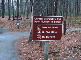
Rachel Carson National Wildlife Refuge (2013)

Kennebunk Plains, McGuire Road, Kennebunk. This 1,000-acre sandplain community provides vital habitat for the endangered grasshopper sparrow and four other animals and plants of special concern in Maine. Managed by the Nature Conservancy, acquired with a grant from the Land For Maine’s Future Board. Butler/Marshall Preserve, Kennebunk. The Kennebunk River bisects the two preserves which…

York County

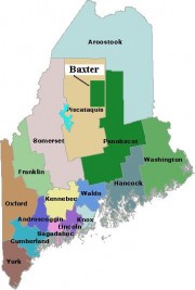
Map of Maine Counties and Baxter Park

was Maine’s first county, established November 20, 1652, by the Massachusetts act that also incorporated the town of Kittery.  The county included all of the land claimed by Massachusetts beyond the Piscataqua River, which now defines the southern boundary of Maine with New Hampshire. In 1674, the jurisdiction of Massachusetts was extended to Muscongus Bay,…