Whiting

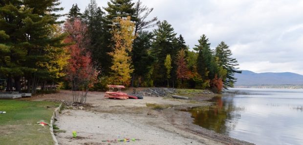
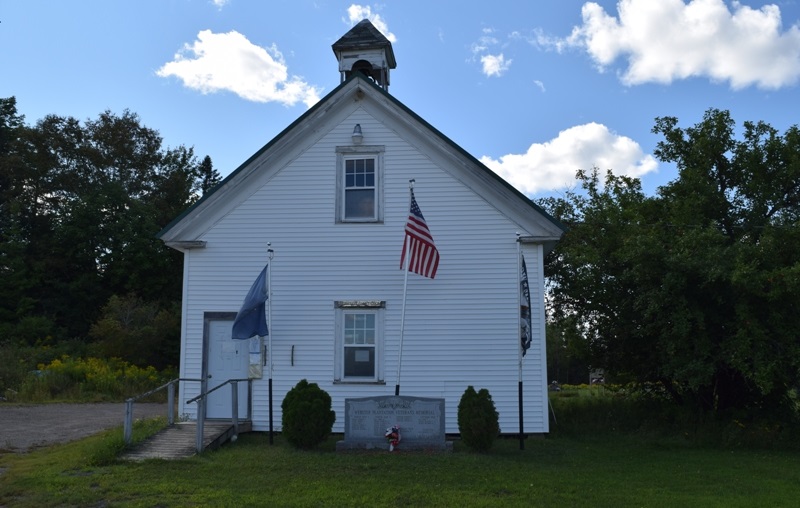
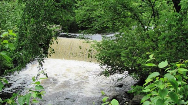
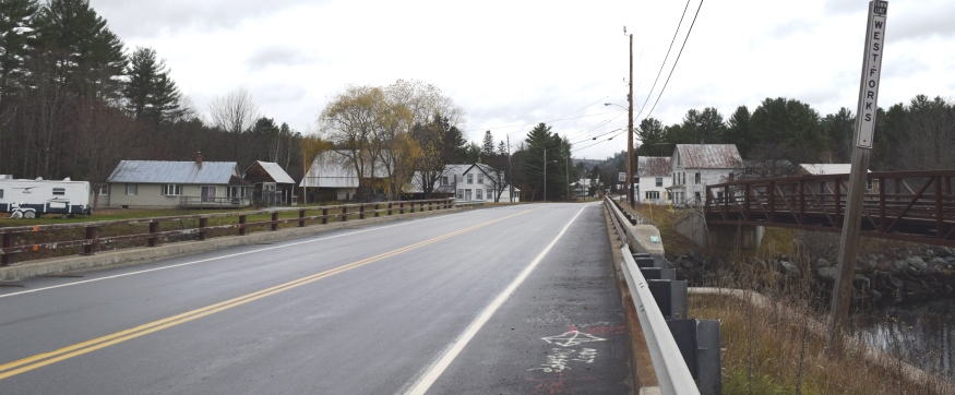
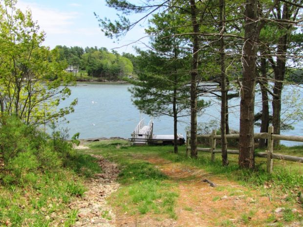
The main village is located at the easterly end of the township where the Orange River flows into Whiting Bay at the Junction of U.S. Route 1 and Maine Route 189 to Lubec. A dam creates a pond on the river in the village. See photos. Cutler Coast Public Preserved Land, in Cutler and Whiting, contains almost five miles of dramatic cliff-bound ocean shore. Water abounds in Whiting’s the northern half, with many acres of lakes and ponds.

Whitefield

Whitefield is west of Gardiner on Route 126 and north of Wiscasset on Route 218. See photos. The Sheepscot River flows through the town and is a popular canoe trip opportunity. As do many Maine towns with scattered villages, Whitefield has several volunteer fire departments: Coopers Mills, Kings Mills, and North Whitefield. St. Denis Catholic Church, west of North Whitefield on Maine Route 218, is on the National Register of Historic Places.

White, Benjamin

Benjamin White (1790-1860) a U.S. Representative, was born in Goshen (now Vienna) May 13, 1790. He attended the common schools, moved to Winthrop in 1802 and was employed on a farm until 1808 when he entered Farmington Academy. White taught school for several years. During the War of 1812 he was in Augusta and assisted…

Weston

Location Map for Weston

On the long shoreline of Grand Lake at the Canadian border, just north of Danforth, Weston has spectacular views with its extended coves, its adjoining Bracket Lake and nearby Longfellow Lake. About one-quarter of the town is covered by water.

Westmanland

Location Map for Westmanland

Located northwest of Caribou, this small community is accessible off State Route 161 that passes through nearby New Sweden. It was part of the “Swedish Colony” established in the 1870’s. The township is bisected with the Little Madawaska River flowing from southwest to northeast. A section of Maine Public Reserved Lands is a 965-acre original public lot, mostly covered by forest, near the southwest shoreline of lower Madawaska Lake.

Westfield

Westfield village lies between U.S. Routes 1 and 1A, on the Prestile Stream, just north of Mars Hill in Aroostook County’s potato country. See photos. Aside from its palette and box factory, Westfield is primarily an agricultural area, except for the marshland in the western portion of the town.

Westbrook

Immediately west of Portland but part of the Portland metropolitan area, Westbrook is home to industrial, professional, and commercial enterprises, as well as to a campus of Husson University. Flowing through the city is the Presumpscot River, whose name means “many rough places river. ” Now the 12th largest community in Maine by population, it was edged out of its 1990 11th largest position by Saco in the 2000 Census.

West Paris

The community, north and west of Paris, though small, has experienced consistent population growth over the past thirty years. Its stone construction library is on the National Register of Historic Places. See photos. Snow Falls, a 40 foot waterfall, drops into a gorge created by the Little Androscoggin River about two mile south of the main village.

West Gardiner

Its community center is on the Spears Corner Road where the town office, fire department, town garage, elementary school, and convenience store all lie in close proximity. See photos. West Gardiner is the site of one of the Maine Turnpike Authority’s service plazas, home to the Center for Maine Craft, which features a retail gallery and cultural tourism information.

West Forks

West Forks Village at Cold Stream and the Kennebec River (2019)

West Forks lies north of the Dead River and west of the Kennebec just above where the two rivers combine at The Forks. See photos. The heavily forested area with a small and dwindling population is bisected by U.S. Route 201 on its way north to Jackman, then to the Province of Quebec.
Three sections of Maine Public Reserved Lands totaling 1,204 acres are located on the west side of U.S. Route 201.

West Bath

West and mostly south of Bath, it is bounded by the New Meadows River on the west and has several deeply indented coves on its south end. See photos. Although the town’s rural tradition is still evident in its buildings and remaining farms, much of the community is influenced by its extensive coastline, which is well protected from open ocean storms. Between Bath and Brunswick on the “by pass” limited access highway, West Bath is easy to miss but has more to offer than meets the fleeting eye.

Wesley

Blueberry Barrens on Route 9 (2013)

Blueberry production is a major industry in this Washington County town. See photos. The Jasper Wyman company is the primary employer and owner of the blueberry barrens in the area. Fishing and camping is available at Seavey Lake, Little Seavey Lake and the western shore of Long Lake. Maine Routes 9 and 192 pass through this sparsely populated, heavily forested area.

Wells

Cottages along Wells Beach (2012)

in York County north of Ogunquit, Wells Main Street is a commercial strip, hosting some community facilities, including the Junior High and the Historical Society. See photos. Wells Beach is a destination for locals and tourists alike. In 2004 the town estimated its peak summer population at about 39,000, including seasonal homes, lodging houses, and recreational vehicle parks. That is four times the resident population.

Weld

Webb Beach Toys in Autumn (2017)

Webb Lake is the main attraction to this recreational area, with Mount Blue State Park located on both sides of the lake. The main village is located on the eastern shore of the lake, at the junction of Maine Routes 142 and 156. Weld is the gateway to Tumbledown Mountain and Little Jackson Mountain, both popular hiking destinations in Township 6 North of Weld.

Webster

This sparsely populated plantation in Penobscot county is primarily marshlands and streams, with the exception of Tucker Ridge and Pickle Ridge where Tucker Ridge Road and Pickle Ridge Road serve the plantation’s residents. It contains a portion of the Mattawamkeag River System Wildlife Management Area and the “Webster Lot” of Maine’s Public Reserved Land.

Weather, Severe Events

Blizzards, floods and hurricanes are occasional weather events, but often sudden and severe in Maine. This is a chronicle of some of the most significant events. Blizzards November 26, 1898 was the first day of the two-day Portland Gale, a hurricane and blizzard that raged for over thirty-six hours sinking about one hundred vessels including…