T9 R8 WELS
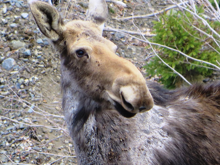
Moose in the Gravel Pit off the Pit Road in T9 R8 WELS (2015) Roads Pinkham Road is the main artery in this township from northeast to southwest. Craigville Road joins Pinkham from the east, just south…
"Those seeking cold, hard statistics on Maine communities won't be disappointed." —Bangor Daily News


Moose in the Gravel Pit off the Pit Road in T9 R8 WELS (2015) Roads Pinkham Road is the main artery in this township from northeast to southwest. Craigville Road joins Pinkham from the east, just south…
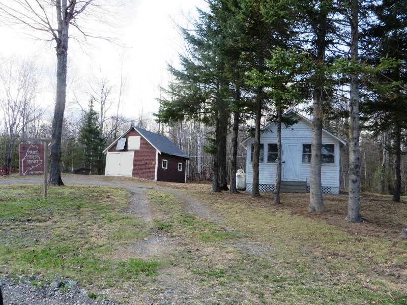
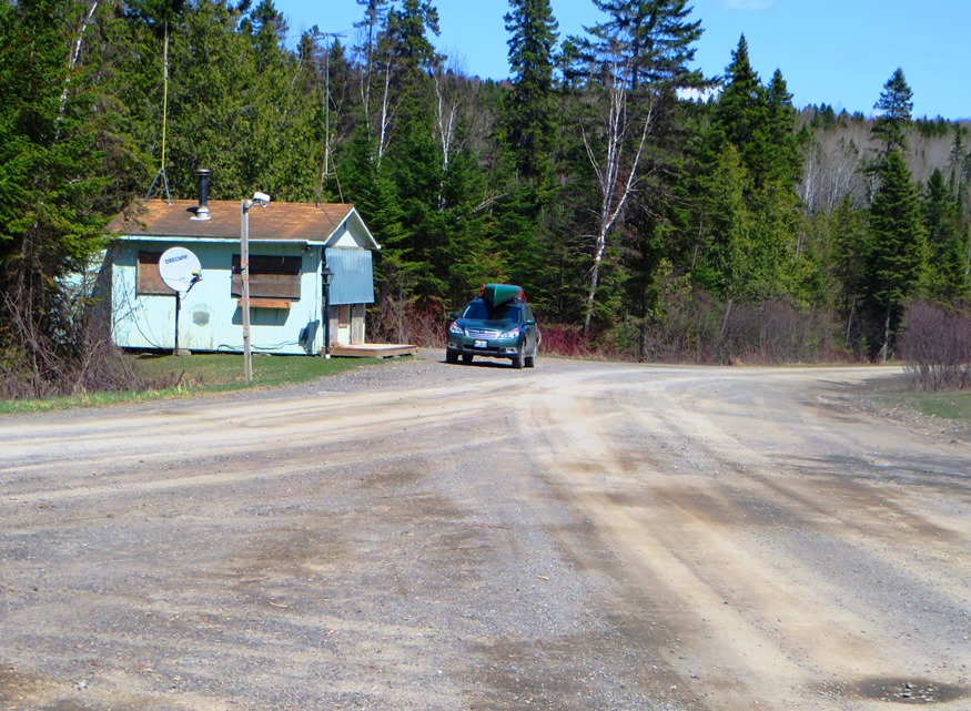
Maine Forest Service on the Pinkham Road (2015) @ A Maine Forest Service Station on the Pinkham Road in the south of the township, is adjacent to Brown Brook which crosses the road there. It seems to be a remote outpost with no other station for many miles. Presumably the brook would provide water for…
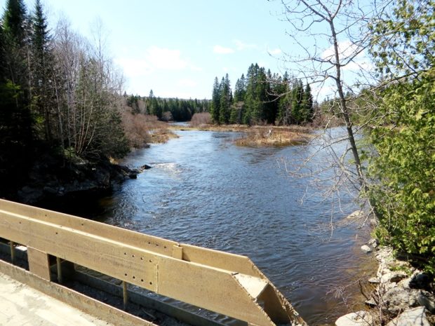
Bridge over Machias River (North Branch) off Pinkham Road in T11 R7 WELS (2015) This township is just west of Garfield Plantation, both of which are within the North Maine Woods management area. The American Realty Road crosses the northeast corner and the Pinkham Road crosses the southeast corner. …
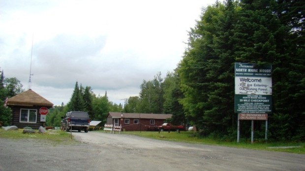
North Maine Woods In addition to be a general term for the forests of northern Maine, North Maine Woods is an organization that manages access to a specific area of mostly privately own land. Land Ownership The complicated historic land ownership in…
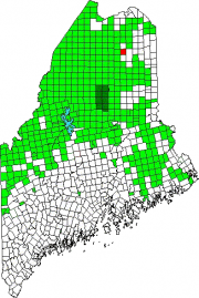
Located northwest of Ashland and south of Portage Lake on Route 11. Little Machias Lake, through which the Little Machias River runs, is in the northwest corner of the plantation. Nashville hosts two lots of Maine’s Public Reserved Land, of which about 10% of the acreage is reserved for wildlife, with the remainder allocated to timber management and harvesting.
has had population loss from 1970 through 2010. Realty Road runs east-west across the northern portion beginning at the Ashland town line. A hunting camp and lodge, and a section of Maine Public Reserved Land, are here. See map. Aroostook County’s Machias River flows through the plantation to join the Aroostook River in Ashland.