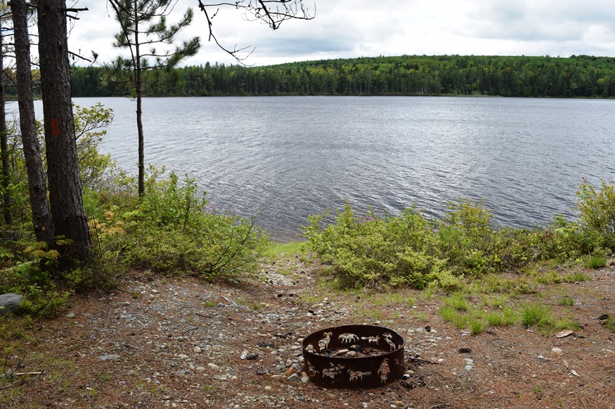
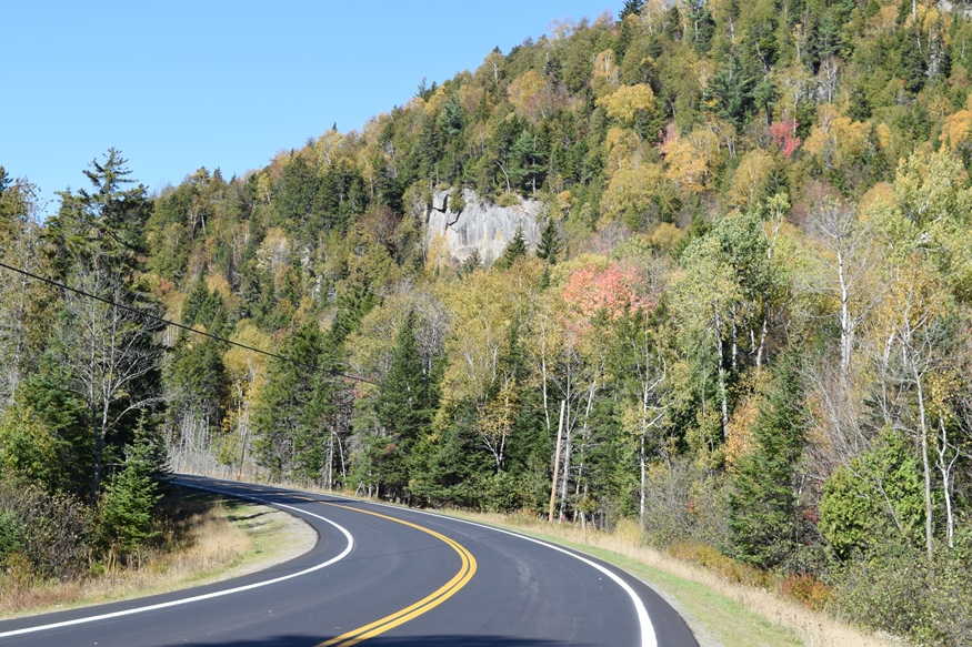
Dead River and Flagstaff Lake

Location Map for Dead River and Flagstaff Lake

The bulk of Flagstaff Lake (maps on right) cover Flagstaff, Bigelow, and Dead River townships in western Somerset County. See also Bigelow Township.The North Branch of the Dead River (maps on left) flows through the town of Eustis. Comparing the course of the Dead River in 1928 (upper maps) with that in 1956 (lower maps),…

Arnold, Benedict

Site of Benedict Arnold

click to enlarge   Arnold led an expedition in 1775 from Massachusetts, up the Kennebec River and through the Maine woods to join General Philip Schuyler in an attempt to defeat the British at Quebec. It left Cambridge on September 11th under orders from General George Washington. Follow the expedition with the expanded version of…

Cranberry Isles

Baker Island Light (1987)

in Hancock County, incorporated 1830, requires ferries or water taxis to access. The 200 acre cranberry marsh on Great Cranberry Island influenced Governor Bernard in 1762 to name the town as it is. Little Cranberry hosts the Islesford Historical Museum; The Baker Island and Bear Island light stations provide navigation assistance near Acadia National Park. See map.

Vinalhaven Island

Carver

The island town is home to two nature preserves, both managed by the Nature Conservancy. See photos. Granite quarrying was an important industry in the 19th and early 20th centuries, both on the main island and on nearby Hurricane Island, which is in the town of Vinalhaven. Now a community of summer residents and Maine residents, it is accessible by the State Ferry Service, which provides transportation, for passengers and vehicles, to and from Rockland.

North Haven

Located in Penobscot Bay, it is accessible via the State Ferry Service from Rockland, with connections to Vinalhaven. See video and photos. Fishing was the major industry on the island for many years, with a brief venture into canning. Boat building emerged as a major economic activity producing both fishing vessels and yachts for summer people. Long a resort community, it has few permanent residents. The “Turner Farm Site,” on the National Register, is a treasure of artifacts from Maine pre-history. Calderwood Island nature preserve is here.

Monhegan Island

Chairs on Monhegan Overlooking the Harbor (2007)

Attractive to artists since the late 19th century, its first draw was fish. See video and photos. After early European explorers passed by (Cabot in 1497, Weymouth and Champlain in 1605), the abundance of fish soon became apparent. Botanists have identified over six hundred varieties of wildflowers on the island. Monhegan Light was commissioned on July 2, 1824.

Piscataquis County

Map of Maine Counties and Baxter Park

is the least populous of the sixteen counties, located in north central Maine. Formed on April 38, 1838 from portions of Somerset and Penobscot counties. Initially it had twenty-two towns, two more were incorporated later, Dover and Foxcroft combined, and seven towns surrendered their organization, becoming townships. The well-known Baxter State Park is located on…

Penobscot County

Map of Maine Counties and Baxter Park

is the thirdlargest in population of the sixteen counties, located in east central Maine, bisected by the Penobscot River and, the newer avenue of transportation, Interstate 95. Formed on April 1, 1816 from the northern part of what was then Hancock County, it later gave up territory to form Piscataquis and Aroostook counties. As with…

Oxford County

Map of Maine Counties and Baxter Park

Oxford County is the seventh largest in population of the sixteen counties, located in western Maine along the New Hampshire border to the east and the Province of Quebec border to the north. The northern parts of York and Cumberland counties were separated to form Oxford County on March 5, 1805.  As with many counties,…

Counties

Maine has sixteen counties, as well as hundreds of local governments. The earliest established was York, in 1652; the latest, Knox in 1860. The structure and functions of county government are similar throughout the state. For a brief sketch of each county, click on its name in the map at right. Aroostook is the largest…

Map of Municipalities

Map of Maine Minor Civil Divisions

Maine has nearly 500 municipalities – cities, towns, and plantations. The forms of local government vary, but each municipality is placed within one of Maine’s sixteen counties. To go to an article describing a particular municipality, move the cursor over the map until the name of your selection appears. Then click to see the article.…