T3 R7 WELS
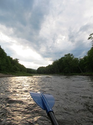
East of Baxter Park, it is home to Katahdin Woods & Water Recreation Area, Sandbank Campsite, Wassataquoik Public Reserved Land, and Whetstone Falls. West of Stacyville, access is by Swift Brook Road and a network of dirt roads.
"Those seeking cold, hard statistics on Maine communities won't be disappointed." —Bangor Daily News


including ponds

East of Baxter Park, it is home to Katahdin Woods & Water Recreation Area, Sandbank Campsite, Wassataquoik Public Reserved Land, and Whetstone Falls. West of Stacyville, access is by Swift Brook Road and a network of dirt roads.
Windows on the River: East Branch Windows on the River: West Branch The Penobscot River Basin drains 8,680 +/- square miles in northeastern Maine. The main stem of the river flows for 105 miles from the confluence of its East and West Branches in Medway, south to its mouth in Penobscot Bay. Approximately 95% of…
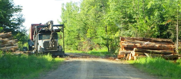
This township is just east of Silver Ridge Township in southern Aroostook County. Crisscrossed with dirt logging roads, its main thoroughfare is the 6000 Road from U.S. Route 2 in Silver Ridge Dixie Road in the east terminating on U.S. Route 2A in Glenwood. Macwahoc Stream…
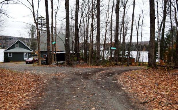
Incorporated as a town in 1892, it deorganized in 1937. This township is just north of Brighton Plantation, with Mayfield Corner being the intersection of Routes 16 and 151 and the site of a village in the 19th century. It has private frontage on Otter Pond, Mayfield Pond and Kingsbury Pond. According to a report…
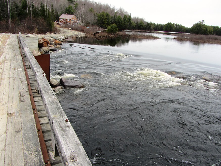
Just north of Brownville on Route 11, this township contains the East Branch of the Pleasant River which feeds the connected West Pond, Pearl Pond and Ebeemee Lake. Small year-round and seasonal cottages are located on the access roads and on the shorelines. …
The Township wraps around the southern, eastern and northern portions of Millinocket. T4 Indian Purchase Township is adjacent west of T3. The Golden Road and Route 11 from Millinocket are the two improved roads in the township. Bridge over Waterway linking Elbow Lake with Quackish Lake (2014) @ T3 encompasses all of Elbow Lake and…
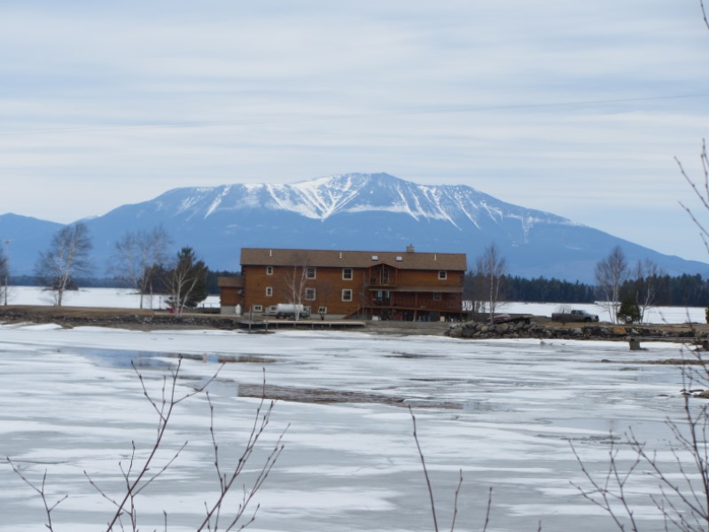
Mount Katahdin and Northern Twin Lake (2014) @ This township surrounds North Twin and South Twin lake, which are split by the North Twin Ridge…
The Cold River Canoe Trip begins in the White Mountain National Forest in Stow, Maine, then to Fryeburg. The river has frequent twists and turns, channel blocking fallen trees, producing several “opportunities” for short portages. Follow Route 113 north from Fryeburg or south from Gilead to Deer Hill Road. In less than a mile, the…
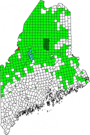
an unorganized township in Somerset County, not to be confused with Prentiss Township T7 R3 NBPP in Penobscot County. As a result of the Maine Indian Lands Claim Settlement Act of 1980, the township is now Passamaquoddy Indian Territory. With few improved roads, access is from U.S. Route 201 in Sandy Bay Township from the Old Kelly Dam Road, which runs along the southern portion of Prentiss. several ponds provide fishing opportunities.
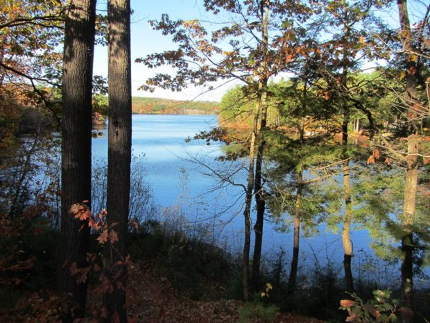
Livermore, the main village, fronts on Brettuns Pond. A boat launch is located off Route 4. Near Livermore village several old community buildings suggest an earlier location for the village center. North Livermore village is centered on twin water bodies, Round Pond and Long Pond. North Livermore Baptist Church graces the community, just north of “The Norlands” a living history center.
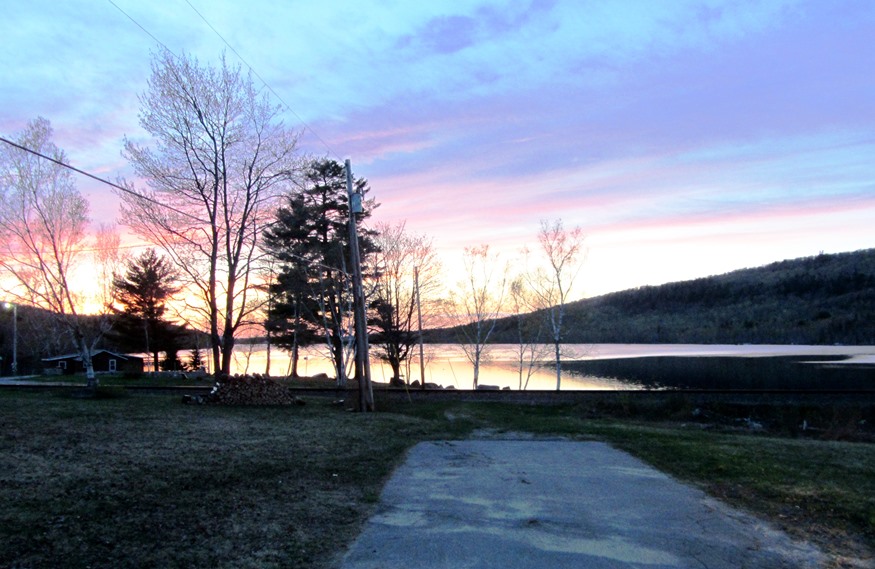
is located south of Vanceboro in eastern Washington County. The St. Croix River is its boundary with Canada. Two improved roads, Route 6 and Loon Bay Road, and a rail line, intersect near Lambert Lake and its small village. Loon Bay and Bull Brook roads extend north-south serving…
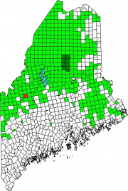
T3 R4 BKP WKR This township hosts the Long Falls Dam on the Dead River. That dam maintains the level of Flagstaff Lake, but required the removal of the village of Flagstaff, which was flooded as a result of its construction.. There was a small natural lake at Flagstaff. In 1950, Central Maine Power Company…
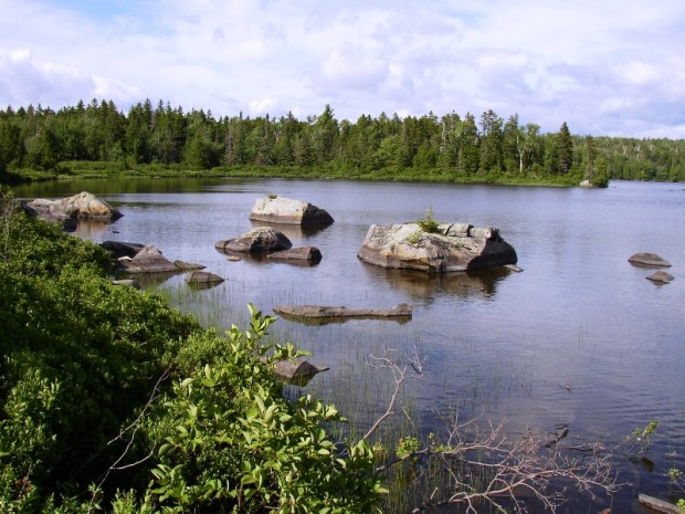
The township is just south of Jackman on U.S. Route 201. It is the only improved road, except for about two miles of Hardscrabble Road on its town line with Johnson Mountain Township to the south. Parlin Pond, the water body, is a two-mile long pond along U.S. Route 201 in the southern portion of…
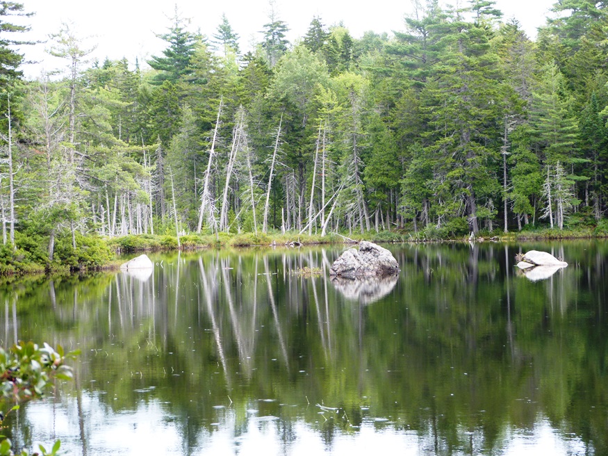
The East Branch of the Penobscot River travels from north to south on its east side. Three small ponds, Soldier, Little Soldier and Trout are here. Hay Brook is the village on the Grindstone Road.
Herseytown Township should not be confused with the town of Hersey about 25 miles north on Route 11 in Penobscot County. Davidson, the only village in the township, was in the north at Davidson Pond on the Davidson Road off Route 11. A 1942 USGS Topographic map shows Davidson with several buildings (small squares). Other…
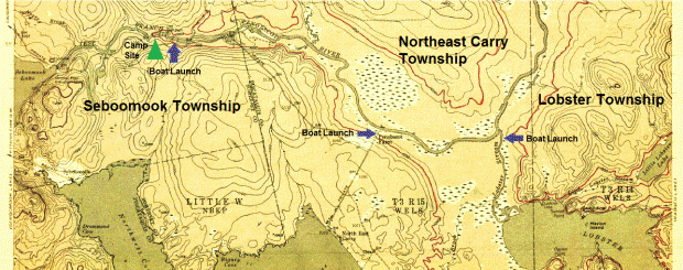
The Roll Dam campsite is a fine location from which to launch the brief trip to Lobster Stream and then to Lobster Lake. The AMC River Guide notes that “This is the smoothwater section of the West Branch [of the Penobscot River].”* The campsite, on the right bank, and the first mile on the river…
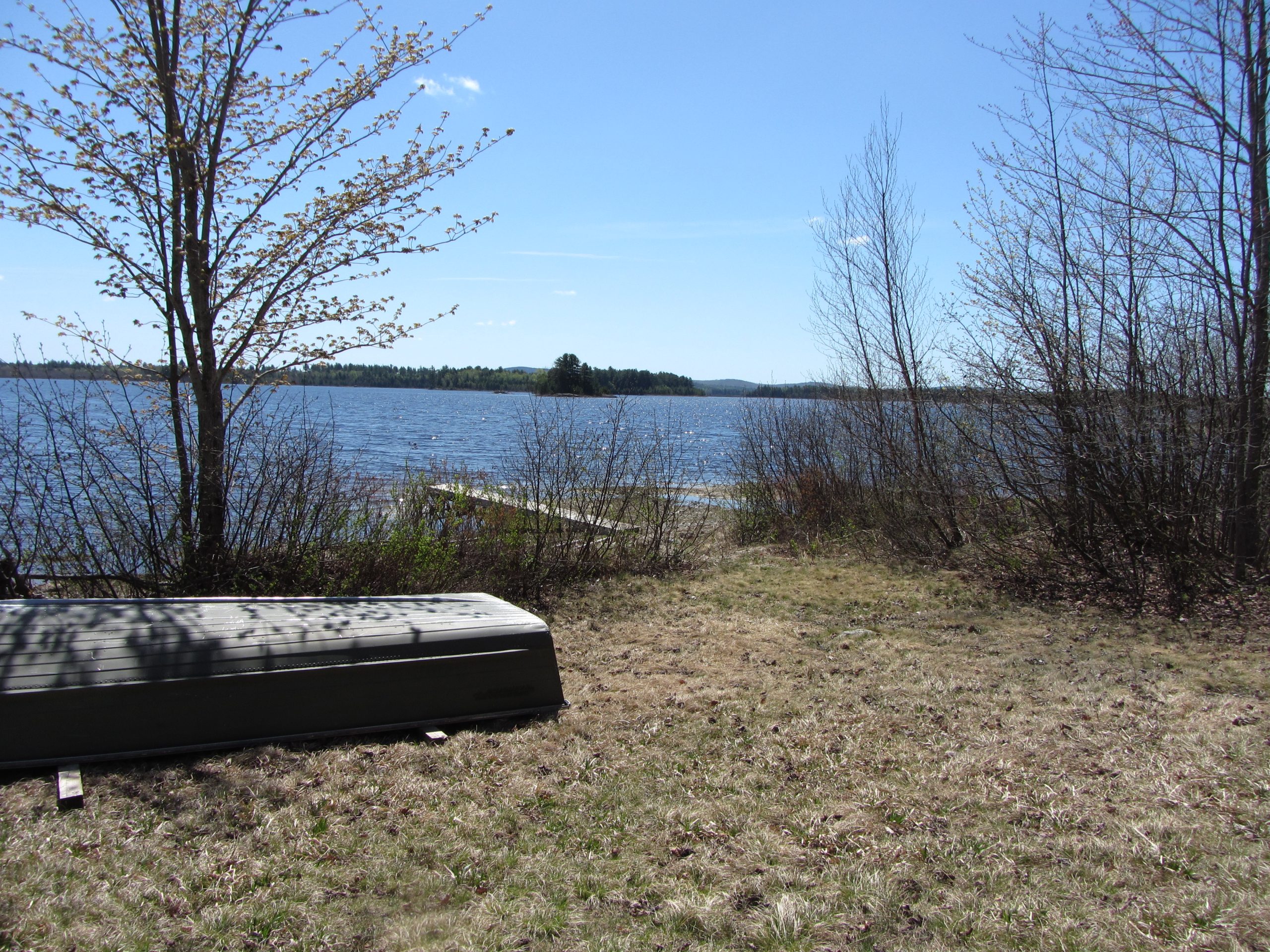
(above) Fourth Machias Lake, rough beach, and boat launch site in Sakom Township (2013) Sakom Township, also known as T5 ND BPP, is certainly a “land of lakes.” Included within it boundaries are major segments of Sysladobis Lake, Pocumus Lake, and Fourth…
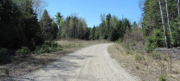
Fourth Lake Road in T6 ND BPP (2013) @ This township is just west of Grand Lake Stream Plantation. Its Fourth Lake Road leads to the interior, to nearby lakes, including Pocumcus Micmac for “at the gravelly place.” * Eventually the road leads to a campsite and boat launch at Fourth Machias Lake…
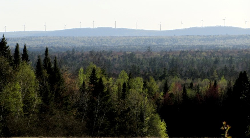
Panoramic View of wind turbines from U.S. Route 1 in Brookton (2013) Brookton is an unorganized township just south of Danforth on U.S. Route 1, one of its only two improved roads. The other, Forest City Road in the southeastern corner, passes by Brook Lake, half of which is in Brookton. A…
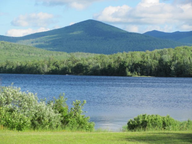
This unorganized township northeast of Greenville is probably best known for the village of Kokadjo and First Roach Pond. The village is at the north end of the pond, which is wholly contained within the township. Kokadjo is short for Kok (kettle) Wadjo (mountain) pegwasebem (lake); together “Kettle Mountain Lake.”* …