Columbia Falls

Year Population 1970 367 1980 517 1990 552 2000 599 2010 560 Geographic Data N. Latitude 44:40:23 W. Longitude 67:42:49 Maine House District 138 Maine Senate District 6 Congress District 2 Area sq. mi. (total) 24.7 Area sq. mi. (land) 24.5 Population/sq.mi. (land) 22.9 County: Washington Total=land+water; Land=land only [kol-UM-bee-ah FALLS] is a town in…
")
")
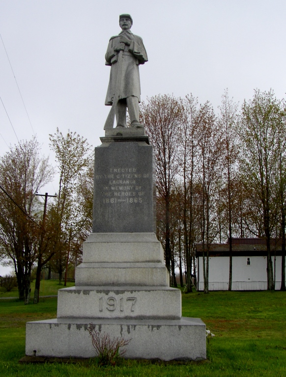
. A memorial with a German Cemetery (See details in National Historic Register section below.) .")
 N45° 19")
")
")
 N46° 50")
")
")