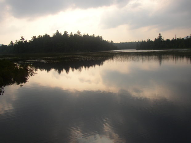
Daicey Pond in Baxter State Park
APPALACHIAN TRAIL – ABOL BRIDGE TO DAICEY POND
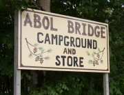
Abol Bridge is located on the Golden Road over the West Branch of the Penobscot River in township T2 R10 WELS. A private campground and general store sits just outside the boundaries of Baxter State Park and is a major destination for those hiking to “100 mile wilderness” section of the trail from the southeast.
The Appalachian Trail follows the river west to the junction of the West Branch of the Penobscot River with Nesowadnehunk Stream (neh-SOD-ni-hunk), then north along the east side of the stream in township T3 R10 WELS.
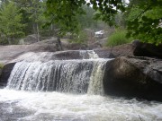
The route passes Big and Little Niagara Falls, Lily Pad Pond, and arrives at Daicey Pond with its Baxter State Park campground and cabins. Many “thru hikers” traveling all the way from Georgia, arrive here in September and even October. By that time the campgrounds are virtually deserted.
A right turn (going north) around Daicey brings the hiker past Elbow Pond, then Tracy Pond. From there the Park Tote Road, a well-kept gravel perimeter road around the Park, leads quickly to the Katahdin Stream Campground at the base of Mount Katahdin.
Here the Hunt Trail begins its 5.2 mile, 4,198 foot elevation climb from the campground to the summit. It will pass through one more township, Mount Katahdin Township, to the end of the Appalachian Trail in the north.
![]() <= South Appalachian Trail – click a boot North =>
<= South Appalachian Trail – click a boot North => ![]()
More Videos!


