click on map
| Year | Population |
|---|---|
| 1970 | n.a. |
| 1980 | n.a. |
| 1990 | n.a. |
| 2000 | n.a. |
| 2010 | n.a. |
| Geographic Data | |
|---|---|
| N. Latitude | 44:28:28 |
| W. Latitude | 70:58:34 |
| Maine House | District 91 |
| Maine Senate | District 14 |
| Congress | District 2 |
| Area sq. mi. | (total) n.a. |
| Area sq. mi. | (land) n.a. |
| Population/sq.mi. | (land) n.a. |
County: Oxford
Total=land+water; Land=land only |
|
n.a. = not available, since the U.S. Census does not enumerate the township separately.
click on images to enlarge and clarify
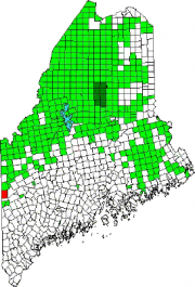
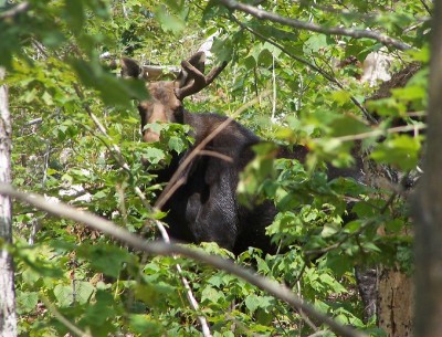
[RYE-lee] a township in Oxford County, just north of the town of Gilead on the border with New Hampshire. It is home to no lakes, few people, several mountains in the Mahoosuc Range, and the source of Sunday River. As with much of wild Maine, its forests make great habitat for moose, likely to startle the unwary hiker.
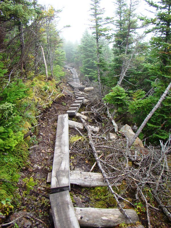
It is the entry point for the Appalachian Trail in Maine in a section of the state’s Public Reserved Land. From here it is 281.4 miles to go to reach the summit of Mount Katahdin and the end of the through-hiker’s 2,183 mile odyssey. Here are some of the Trail highlights in the township.
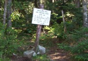
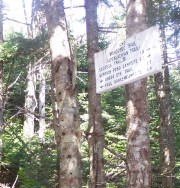
Hikers are welcomed to Maine and informed of the distance to Katahdin. Springer Mountain in Georgia is nearly nineteen hundred miles south and months since it was last seen by “thru hikers,” those who have made the whole trip in a season.
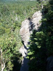
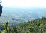
Almost immediately a steep, rocky descent looms followed by a spectacular view. There will be many more in the next two hundred plus miles in Maine.
The video below offers views of the Appalachian Trail as it enters Maine down a steep, rocky path in Riley Township. It follows the Carlo Col Trail up to Mount Carlo, then the Mahoosuc Trail into and out of Mahoosuc Notch, and finally to Speck Pond in adjoining Grafton Township.
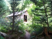
The Carlo Col shelter lies just below the summit of Mount Carlo with its trail to Goose Eye Mountain, then to North Peak, South Peak, and finally to the challenging Mahoosuc Notch, which harbors ice in its deep shadows, even in summer.
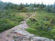
Appalachian Trail on the Summit of Mount Carlo
A virtual Appalachian Trail – click the boot for the next step North ![]()
Or view the full Trail map.


