| Year | Population |
|---|---|
| 1970 | 1,491 |
| 1980 | 1,871 |
| 1990 | 1,922 |
| 2000 | 1,489 |
| 2010 | 2,041 |
| Geographic Data | |
|---|---|
| N. Latitude | 45:37:i8 |
| W. Longitude | 68:26:56 |
| Maine House | 122, 143 |
| Maine Senate | District 5 |
| Congress | District 2 |
| Area sq. mi. | (total) 41.7 |
| Area sq. mi. | (land) 41.0 |
| Population/sq.mi. | (land) 32.9 |
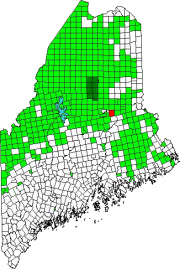
County: Penobscot
Total=land+water; Land=land only |
|
[MED-way] is a town in Penobscot County, incorporated on February 8, 1875 from Medway and Pattagumpus plantations. The latter shared its name with two streams in the southeast corner of the town’s current boundary: the main stream and Little Pattagumpus Stream.
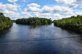
The area was also known as Nicatou, or “the forks,” since it marks the joining of the East and West branches of the Penobscot River. Medway is midway between Bangor and the northern line of Penobscot County, hence the modern name.
Settled in the 1820’s, the area organized as a plantation for local government purposes in 1852. During the lumber boom its strategic location at “the forks” made it an important economic center.
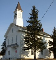
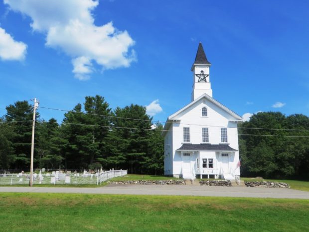
In 1850 the historic Congregational Church of Medway was built on the banks of the Penobscot River. In recent times it has been known as the Wonder Grange.
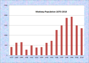
Between 1870 and 1880 the population nearly doubled from 321 to 628. Reflecting harder times in the forest industry, its population declined by over 19 percent in the 1990-2000 decade, setting it back to its 1970 level.
Medway is the home town in his youth of U.S. Representative Michael H. Michaud.
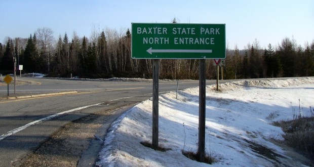
The main road, Maine combined Route 11 and 157, leads toward the South Entrance to Baxter State Park and hosts a series of motels, restaurants, and general stores. The Park’s North (Mattagamon Gate) Entrance is many miles farther up Interstate 95.
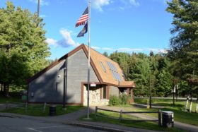
However, the village is easy to miss as one travels toward East Millinocket from the Interstate. Turn left on Route 157 in about a half-mile and find the church, town office, and a neighborhood of modest homes. 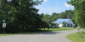
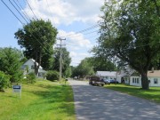
Village & School Streets (2014) *
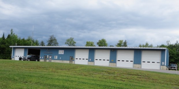
On Rte 157, turn right on Rte. 11 to the fire station. A few homes are on the Route 11 stretch to Grindstone.
Form of Government: Town Meeting-Select Board-Administrative Assistant.
Additional resources
Allen, Eric, Collector. [Maine women/World War II Interview], 1982. (Student paper and audio tape reel) [Cataloger Note: Interview with Marie Wheaton about life in Medway during the Depression and her move to Portland during W. W. II; college experience (Aroostook Normal School) and teaching in rural Maine in the 1930’s. (Maine Women during Depression-W. W. II Project.)] [University of Maine. Maine Folk Life Center.]
Beathem, Harold C. History & Geneology [sic] of Medway Maine. Compiled by the Medway Beathems for the centennial anniversary 1875 to 1975. Medway, Me. Beathem, 1975.
Chadbourne, Ava Harriet. Maine Place Names and The Peopling of its Towns.
Medway (Me.) Records, 1848-1868. [University of Maine, Raymond H. Fogler Library, Special Collections]
*United States. Department of the Interior. National Park Service. “Medway Congregational Church.” https://npgallery.nps.gov/pdfhost/docs/nrhp/text/77000081.PDF
National Register of Historic Places – Listings
Congregational Church of Medway
[off Maine Route 11] The 1870s and 1880s brought the greatest period of growth in Medway when the small population more than doubled. Gradually small industry had developed, particularly the tannery built by Henry Poor & Son in the 1860s.
In 1874, the Congregational Church was built and in 1875 the Town of Medway was incorporated. Benjamin N. Fiske, a local hotel owner as early as 1844, was very active in town affairs, serving as the first town clerk as well as postmaster and later as town treasurer and selectman. He was also a strong supporter of religious organizations. With his own funds he retained a local builder, Mansford Cushman, to construct the church. Upon completion Fiske deeded it in trust to be used as a Congregational Church and as the local school as long they needed it, and for these purposes only. Eventually both the school and the church moved their operations elsewhere so the building reverted to the heirs of Benjamin Fiske. It has been used by local community groups.*
2020
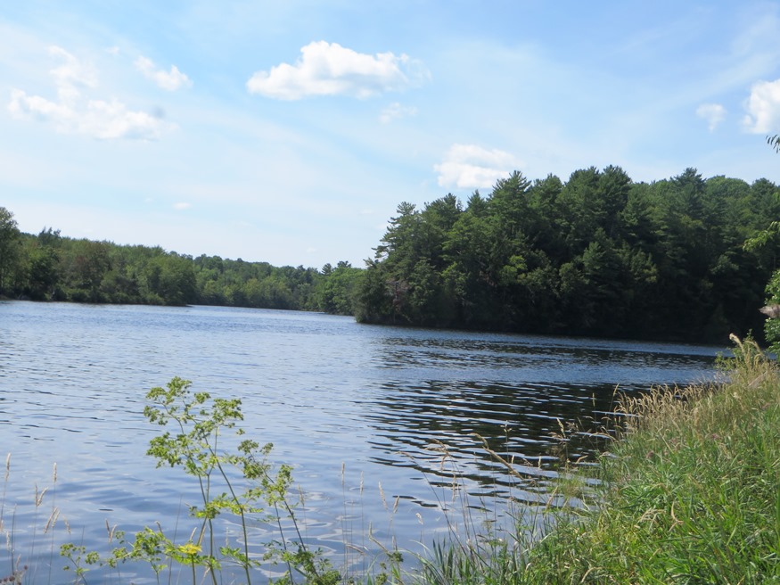
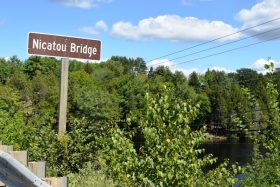
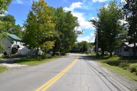
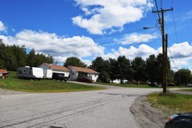
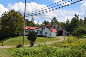
The following photos were taken in 2020. Medway is split by the Penobscot River with the main village in the northeast on Routes 11 and 157, which lead to Millinocket and Baxter State Park. On the southwest, over Nicatou Bridge, lies another village on Route 116 which trends south to Woodville, Chester, and finally Old Town.
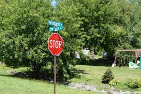
- Pattagumpus & Old Farm Roads berfore the bridge
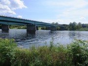
- Nicatou Bridge over the Penobscot
- Village in Medway on Route 116
- Penobscot River from Nicatou Bridge in Medway
- Village in Medway on Pattagumpus Road
- House on Route 116
Beginning in 1923, the Medway Hydro Project has been a “run-of-river” electricity generating power on the Penobscot River. The plant was upgraded recently under the Penobscot Restoration Agreement. Two new turbines provided power at two megawatts. In 2020 it was owned and operated by Brookfield Renewable. [https://canadianhydro.com/portfolio-view/medway-hydro/] (accessed august 8, 2020)
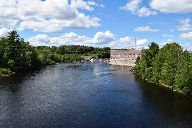
Brookfield Hydro-Power on the Penobscot River (2020)


