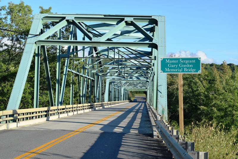
Gary Gordon Memorial Bridge (2020)
Gary Gordon grew up in Lincoln, and at 18, joined the Army as a combat engineer before being selected for the elite Special Forces group known as Delta Force. In the First Battle of Mogadishu, Somalia in 1993, Gordon and another Delta Force soldier volunteered to protect the the survivors of a downed helicopter. After being denied permission several times, they were allowed to attempt a rescue in the face of severe enemy fire. Both were killed after many brave attempts to complete their mission.

Location Map For Chester
| Year | Population |
|---|---|
| 1970 | 255 |
| 1980 | 434 |
| 1990 | 442 |
| 2000 | 525 |
| 2010 | 546 |
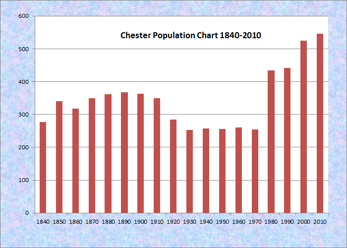
Population Trend 1840-2010
| Geographic Data | |
|---|---|
| N. Latitude | 45:26:13 |
| W. Longitude | 68:29:14 |
| Maine House | District 141 |
| Maine Senate | District 5 |
| Congress | District 2 |
| Area sq. mi. | (total) 44.3 |
| Area sq. mi. | (land) 44.3 |
| Population/sq.mi. | (land) 46.3 |
County: Penobscot
Total=land+water; Land=land only |
|
[CHES-ter] is a town in Penobscot County, settled in 1823 by Frank Stratton from Albion. Chester was incorporated on February 26, 1834 from T1 R8 WPR township. The name was provided by Samuel Chesley, recently of Chester, New Hampshire, indirectly for the English town of the same name.
The post-statehood boom affected this town as many others, and the population grew accordingly with farms and mills occupying the landscape. During the Civil War, the small town sent 32 men to join the Union effort; 11 were lost.
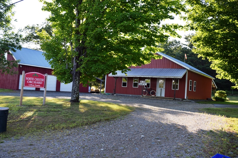
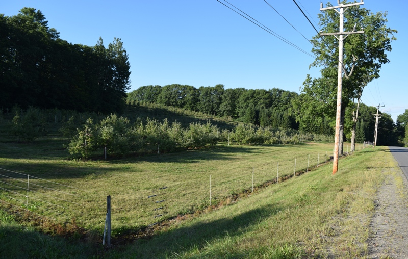
North Chester Orchard (2020)
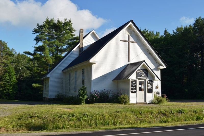
Chester Baptist Church (2020)
Across the Penobscot River from the mill town of Lincoln, Chester’s small population grew by almost 19 percent in the decade ending in 2000, and maintained its growth through 2010. In 1870 its population was 350, more than in 1970.
The town boundaries form a triangle, with Woodville to the north, the Penobscot River to the southeast, and the township T2 R8 NWP to the east.
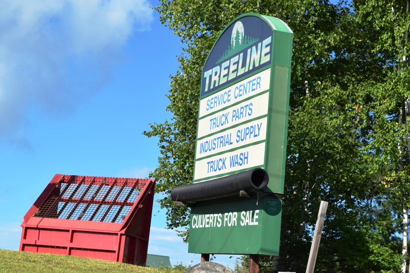
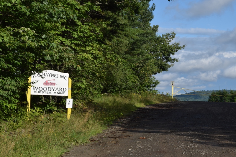
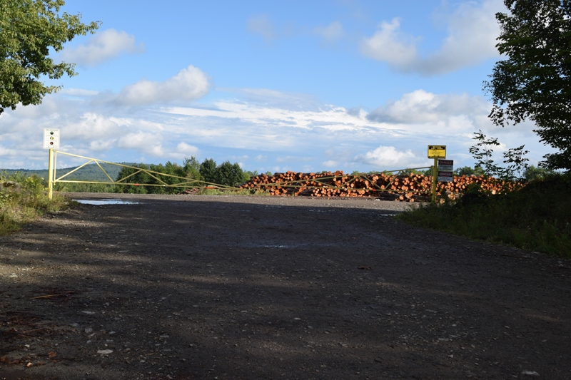
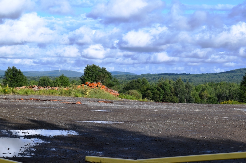
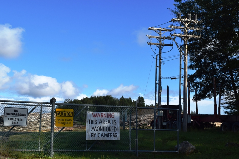
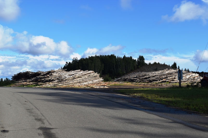
Route 116 runs north-south through the town. Forest products are the base of its economy.
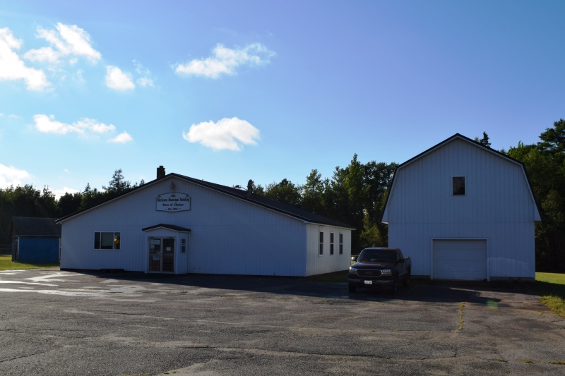
Chester Municipal Building (2020)
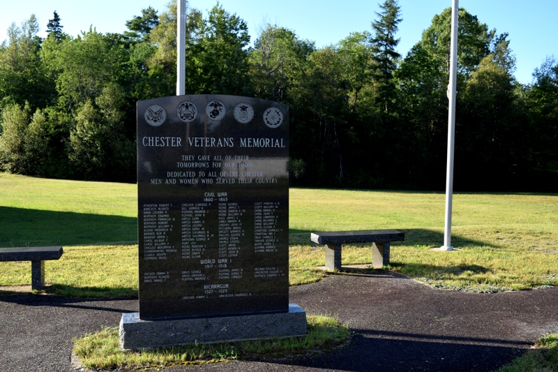
Veterans Memorial near Town Office (2020)
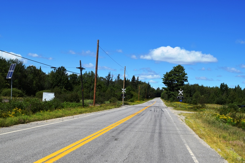
Chester along the Woodville Road (Route 116)
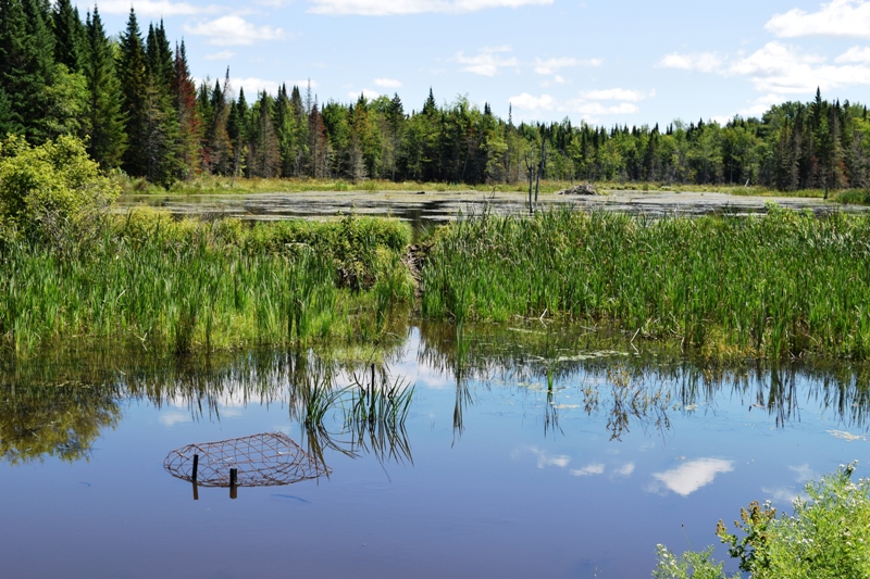
Beaver Made Pond by the Road
The long road to Woodville (2020)
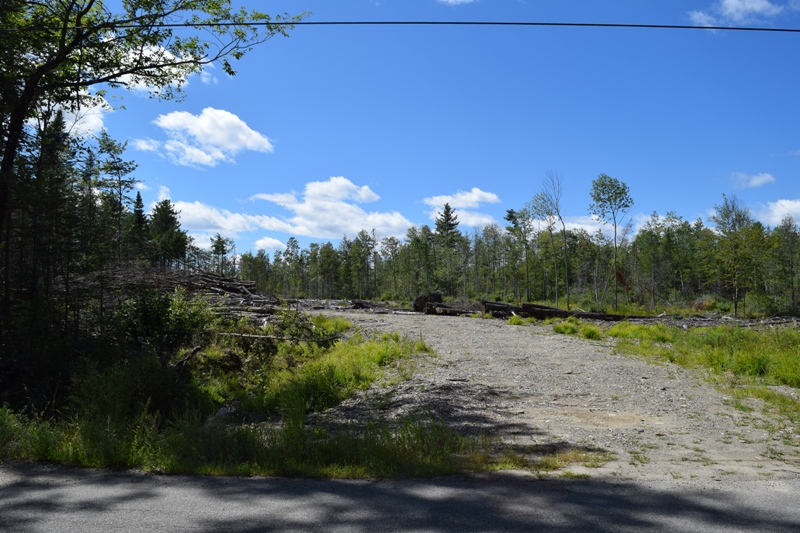
Wood Yard off Route 116
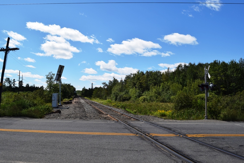
Railroad Crossing (2020)
Form of Government: Town Meeting-Select Board.
Additional resources
Booker, Mabel Libby. History and Genealogy of Chester, Maine. M.L. Booker, 1949?
Chadbourne, Ava Harriet. Maine Place Names and The Peopling of its Towns.
Varney, George J. A Gazetteer of the State of Maine. 1886. p. 178.
North Chester Orchard (2020)