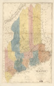
The Map Cabinet offers selected images of historic maps of Maine. Most are from the Library of Congress where higher resolution versions are available by following the links listed under “Sources” below.
The Library’s “permalinks” are permanent links to the associated images. “Image source:” links are those from which the images were acquired on the dates noted. Follow links in selected captions to associated articles within the Encyclopedia.
For more enter “maps” in the search box. A few false positives will be included, but most will yield maps or nautical charts.
State Maps
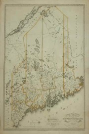 Greenleaf Map Maine 1815 |
|||
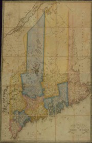 Greenleaf Map of Maine 1820. |
|
County Maps
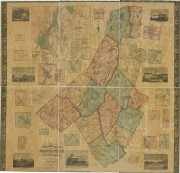 Androscoggin County 1858 |
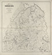 Aroostook County 1899 |
|
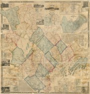 Cumberland County 1857 |
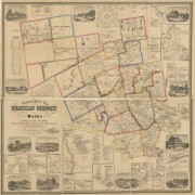 Franklin County 1861 |
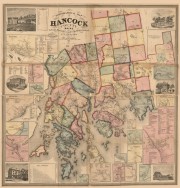 Hancock County 1860 |
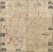 Kennebec County 1856 |
Knox County (not available) |
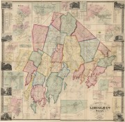 Lincoln County 1857 |
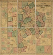 Oxford County 1858 |
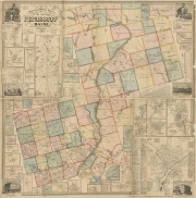 Penobscot County 1859 |
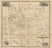 Piscataquis County 1853 |
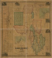 Sagadahoc County 1858 |
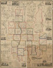 Somerset County 1860 |
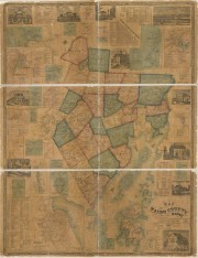 Waldo County 1859 |
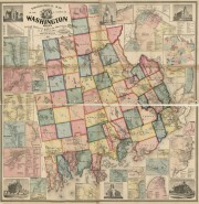 Washington County 1861 |
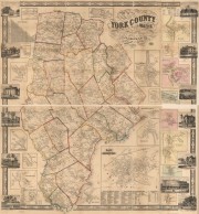 York County 1856 |
Cities and Towns
Birdyeye views are hand “aerial” perspective maps not drawn to scale. They illustrate geographic features, streets and structures. These are selected from the Library of Congress: Blue Hill, Dixfield, Livermore Falls, Monson, Pittsfield, Presque Isle, and Sanford. (others pending)
Sources (in map sequence)
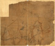
“Map of Maine 1778.” Main title: “A Plan of the late Province of Main as far as Kennebeck River.” Circa 1778. LC classification: G3730 1778 .P5 Vault. Repository: Library of Congress Geography and Map Division Washington, D.C. 20540-4650 USA dcu. Permalink: http://lccn.loc.gov/74692577 Image source: http://www.loc.gov/item/74692577 (accessed March 14, 2013)
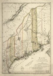
“Sotzmann Map of Maine 1798.” Main title: “Maine of the State of Maine.” 1831. LC classification: G3730 1798 .S6 Vault. Repository: Library of Congress Geography and Map Division Washington, D.C. 20540-4650 USA dcu. Permalink: http://lccn.loc.gov/2011589273 Image source: http://www.loc.gov/item/2011589273 (accessed March 14, 2013)
Greenleaf, Moses. 1815. “Map of the District of Maine from the Latest and Best Authorities.” Boston: Cummings & Hilliard, 1815. Osher Map Library and Smith Center for Cartographic Education, University of Southern Maine. Image source: http://www.oshermaps.org/exhibitions/printed-maps-of-maine-1793-1860/ii-moses-greenleaf-maines-greatest (accessed March 15, 2013)
Greebleaf, Moses. 1820. “Map of the District of Maine from the Latest and Best Authorities … 1820.” Boston: Cummings & Hilliard, 1820. Osher Map Library and Smith Center for Cartographic Education, University of Southern Maine. Image source: http://www.oshermaps.org/exhibitions/printed-maps-of-maine-1793-1860/ii-moses-greenleaf-maines-greatest (accessed March 15, 2013)
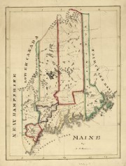
“Perkins Map of Maine [182?]” Main title: “Maine /” Portland, Me. Perkins, A. T. LC classification: G3730 182- .P4 Repository: Library of Congress Geography and Map Division Washington, D.C. 20540-4650 USA dcu. Digital ID: G3730 Ct003497 Http://Hdl.Loc.Gov/Loc.Gmd/G3730.Ct003497. Image source: http://www.loc.gov/item/2011589342 (accessed March 14, 2013)
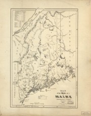
“Coleman Map of Maine 1831.” Main title: “Map of the State of Maine.” Portland, Me. Colman, Samuel. LC classification: G3730 1831 .C6 Repository: Library of Congress Geography and Map Division Washington, D.C. 20540-4650 USA dcu. Http://Hdl.Loc.Gov/Loc.Gmd/G3730.Ct003116. Image source: http://www.loc.gov/item/2012593216 (accessed March 14, 2013)
“County Map of Maine 1840.” Main title: “Map of Maine.” 1840. Anson, W. LC classification: G3733.A5 1858 .C4. Repository: Library of Congress Geography and Map Division Washington, D.C. 20540-4650 USA dcu. Http://Hdl.Loc.Gov/Loc.Gmd/G3730.Ct003117. Image source: http://www.loc.gov/item/2012593217 (accessed March 14, 2013)
“Map of Androscoggin County 1840.” Main title: “A Topographical Map of Androscoggin County, Maine.” 1840. Chace, J., Jr. Portland, Me. LC classification: G3730 1840 .A6. Repository: Library of Congress Geography and Map Division Washington, D.C. 20540-4650 USA dcu. Digital ID: G3733A La000265 Http://Hdl.Loc.Gov/Loc.Gmd/G3733A.La000265. Image source: http://www.loc.gov/item/2012592363 (accessed March 14, 2013)
“Map of Aroostook County 1899.” Main title: “Map of northern Maine: specially adapted to the uses of lumbermen and sportsmen / .” 1899. Hubbard, Lucius L. Cambridge, Ma. LC classification: G3730 1899 .H9. Repository: Library of Congress Geography and Map Division Washington, D.C. 20540-4650 USA dcu. Digital ID: G3730 Ct003207 Http://Hdl.Loc.Gov/Loc.Gmd/G3730.Ct003207. Image source: http://www.loc.gov/item/2010592713. (accessed March 14, 2013)
“Map of Cumberland County 1857.” Main title: “Map of Cumberland County, Maine / .” 1857. Chace, J., Jr. Portland, Me and Philadelphia, Pa.. LC classification: G3733 1857 .C4. Repository: Library of Congress Geography and Map Division Washington, D.C. 20540-4650 USA dcu. Digital ID: G3733C La000266 Http://Hdl.Loc.Gov/Loc.Gmd/G3733C.La000266. Image source: http://www.loc.gov/item/2012592364. (Accessed March 14, 2013)
“Map of Franklin County 18580.” Main title: “A Topographical Map of Franklin County, Maine.” 1861. Walling, Henry Francis. W. E. Baker. New York. 1861. LC classification: G3733.F7 1861 .W3. Repository: Library of Congress Geography and Map Division Washington, D.C. 20540-4650 USA dcu. Digital ID: G3733F La000267 Http://Hdl.Loc.Gov/Loc.Gmd/G3733F.La000267. Image source: http://www.loc.gov/item/2012592365 (accessed March 14, 2013)
“Map of Hancock County 1858.” Main title: “A Topographical Map of Hancock County, Maine.” 1860. New York. Lee & Marsh. LC classification: G3733.H3 1860. Repository: Library of Congress Geography and Map Division Washington, D.C. 20540-4650 USA dcu. Digital ID: G3733H La000268 Http://Hdl.Loc.Gov/Loc.Gmd/G3733H.La000268 Image source: http://www.loc.gov/item/2011588006 (accessed March 14, 2013)
“Map of Kennebec County 1856″ Main title: “Map of Kennebec Co., Maine /.” 1856. Chace, J. Jr. Philadelphia and Augusta. LC classification: G3733.K4 1856 .??. Repository: Library of Congress Geography and Map Division Washington, D.C. 20540-4650 USA dcu. Digital ID: G3733K La000269 http://hdl.Loc.Gov/Loc.Gmd/G3733K.La000269. Image source: http://www.loc.gov/item/2012592366 (accessed March 16, 2013)
“Map of Lincoln County 1857” Main title: “A Topographical Map of Lincoln Co., Maine: from actual surveys.” 1857. Hopkins, C. M. Philadelphia, Pa. Lee & Marsh. 1857. LC classification: G3733.L4 1857 .H6. Repository: Library of Congress Geography and Map Division Washington, D.C. 20540-4650 USA dcu. Digital ID: G3733L La000270 http://hdl.Loc.Gov/Loc.Gmd/G3733L.La000270. Image source: http://www.loc.gov/item/2011589601 (accessed March 16, 2013)
“Map of Oxford County 1858” Main title: “Map of Oxford County, Maine /.”1858. Walling, Henry Francis. New York. Gillette & Huntington, 1858. LC classification: G3733.O8 1858 .W3. Repository: Library of Congress Geography and Map Division Washington, D.C. 20540-4650 USA dcu. Digital ID: G3733O La000271 Http://Hdl.Loc.Gov/Loc.Gmd/G3733O.La000271. Image source: http://www.loc.gov/item/2012592367 (accessed March 16, 2013)
“Map of Penobscot County 1859″ Main title: “Topographical map of the county of Penobscot, Maine/.” 1858. Walling, Henry Francis. New York. Lee & Marsh. 1859. LC classification: G3733.P4 1858 .W3. Repository: Library of Congress Geography and Map Division Washington, D.C. 20540-4650 USA dcu. Digital ID: G3733P La000272B Http://Hdl.Loc.Gov/Loc.Gmd/G3733P.La000272B. Image source: http://www.loc.gov/item/2012592368 (accessed March 16, 2013)
“Map of Piscataquis County 1858″ Main title: “Map of Piscataquis County, Maine /.” 1858. Walling, Henry Francis. New York. Lee & Marsh. 1858. LC classification: G3733.P5 1858 .W3. Repository: Library of Congress Geography and Map Division Washington, D.C. 20540-4650 USA dcu. Digital ID: G3733P La000273 Http://Hdl.Loc.Gov/Loc.Gmd/G3733P.La000273. Image source: http://www.loc.gov/item/2012592369 (accessed March 16, 2013)
“Map of Somerset County 1860″ Main title: “Map of Somerset County, Maine.” 1860. Chace, J.. Jr. Portland, Me. and Philadelphia, Pa. J. Chace Jr.. 1860. LC classification: G3733.S6 1860. Repository: Library of Congress Geography and Map Division Washington, D.C. 20540-4650 USA dcu. Digital ID: G3733S La000275 Http://Hdl.Loc.Gov/Loc.Gmd/G3733S.La000275. Image source: http://www.loc.gov/item/2012592370 (accessed March 16, 2013)
“Map of Waldo County 1859″ Main title: “Map of Waldo County, Maine /.” 1859. Chace, J.. Jr. Portland, Me. and Philadelphia, Pa. J. Chace Jr.. 1859. LC classification: G3733.W6 1859 .C3. Repository: Library of Congress Geography and Map Division Washington, D.C. 20540-4650 USA dcu. Digital ID: G3733W La000276 Http://Hdl.Loc.Gov/Loc.Gmd/G3733W.La000276. Image source: http://www.loc.gov/item/2011589602 (accessed March 16, 2013)
“Map of Washington County 1861″ Main title: “Topographical map of the county of Penobscot, Maine.” 1861. New York. Lee and Marsh. 1861. LC classification: G3733.W4 1861. Repository: Library of Congress Geography and Map Division Washington, D.C. 20540-4650 USA dcu. Digital ID: G3733W La000277A Http://Hdl.Loc.Gov/Loc.Gmd/G3733W.La000277A. Image source: http://www.loc.gov/item/2012592371 (accessed March 16, 2013)
“Map of York County 1856″ Main title: “Map of York County, Maine.” 1856. Smith, J. L.. Boston, Ma. and Philadelphia, Pa. J. L. Smith & Co. 1856. LC classification: G3733.Y6 1856. Repository: Library of Congress Geography and Map Division Washington, D.C. 20540-4650 USA dcu. Digital ID:G3733Y La000278 Http://Hdl.Loc.Gov/Loc.Gmd/G3733Y.La000278. Image source: http://www.loc.gov/item/2011588007 (accessed March 16, 2013)


