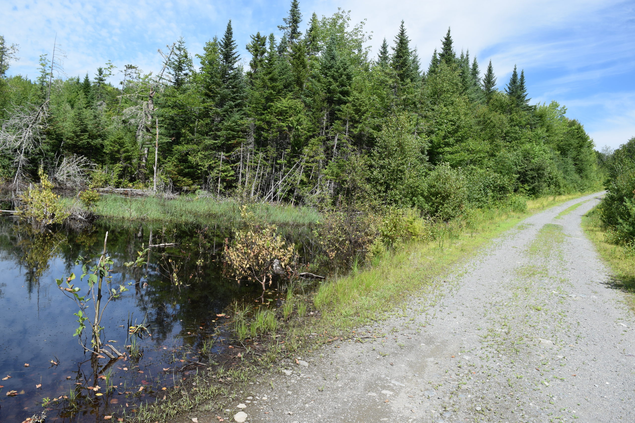
Two miles north of West Forks on U.S. 201, Capital Road begins its northeastern entry to Chase Stream Township, opening to a group of a dozen small ponds: Ellis (101-acres, 18-ft depth) (Flatiron 4-acres, 4ft depth) (Long-16 acres, 14-ft depth), (Round-36 acres, 11ft depth) (Dead 65 acres, 10-ft depth) among others. Most of these small ponds are accessible only over secondary, sometimes rough, dirt roads. The Township has six miles of shoreline on the eight-mile Indian Pond, beginning at the Kennebec River Gorge. Chase Stream flows from Chase Stream Pond in the South through the north boundary of the Township, about four miles.
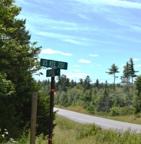
US ROUTE 201 NEAR ENTRANCE TO CHASE STREAM TOWNSHIP
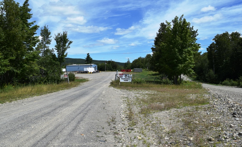
MARSHALL YARD ADMINISTRATION BUILDING, AT LEFT BEGINNING OF CAPITAL ROAD, AT RIGHT
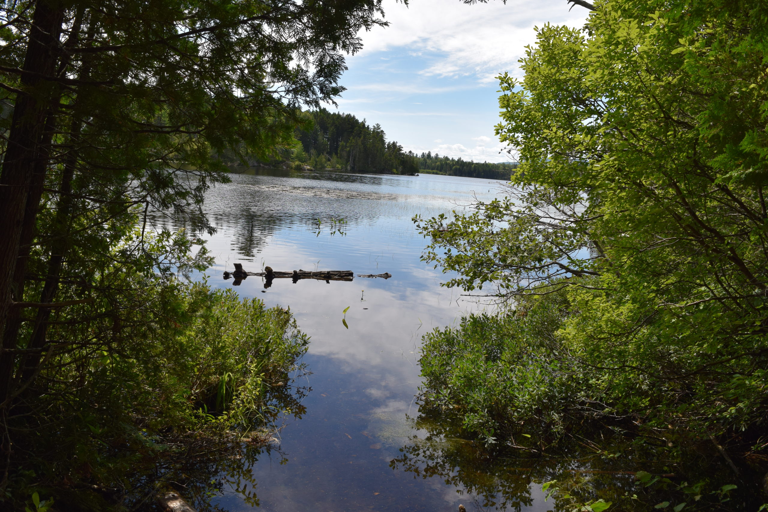
ELLIS POND, LARGEST IN THE TOWNSHIP
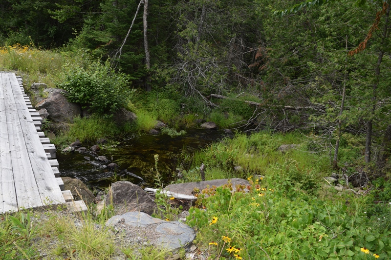
BRIDGE OVER THE ELLIS POND OUTLET
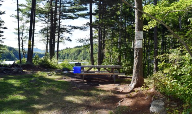
PICNIC AREA NEAR THE CAPITAL ROAD 8 MILES FROM ROUTE 201 >
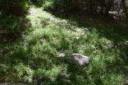 <TRAIL TO ELLIS POND
RE-GROWTH AFTER LOGGING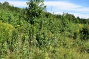
<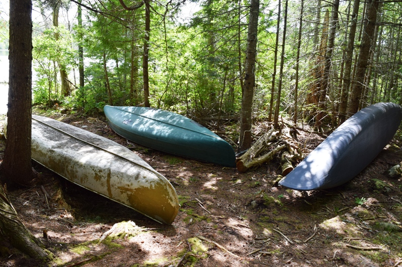
CANOE “STORAGE” AT ELLIS POND