Canoe Trip Nezinscot River Turner 4
Canoe Trip Nezinscot River Turner 4 Return to Nezinscot Canoe Trip: Buckfield to Turner Center
"Those seeking cold, hard statistics on Maine communities won't be disappointed." —Bangor Daily News


Canoe Trip Nezinscot River Turner 4 Return to Nezinscot Canoe Trip: Buckfield to Turner Center

Canoe trips can range from several days in the Allagash Wilderness Waterway or on the Androscoggin, Kennebec, or Penobscot Rivers, to pleasant day trips often close to home. Here are few samples of accessible canoeing in Maine. (Click the film strips.) Also visit our partners in Maine Rivers and Ridge for more canoe trips and…
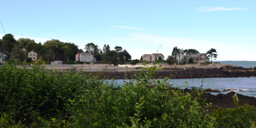
in Cumberland County, first settled by Europeans in the 1630’s, incorporated in 1765. The clipper ship Snow Squall was built here in 1851. A wealthy suburb of Portland, it has a scenic coastline; attractions include lighthouses at Two Lights State Park, Crescent Beach State Park, Fort Williams, and Portland Head Light. See photos.
Capitol Park is significant as a landscape design, dating from 1827, that survives with its spatial structure intact. It is unique as an early example of a designed landscape and as a remarkable survivor within the Capitol complex. Although the park has accommodated a variety of functions, it continues to perform its primary function of…
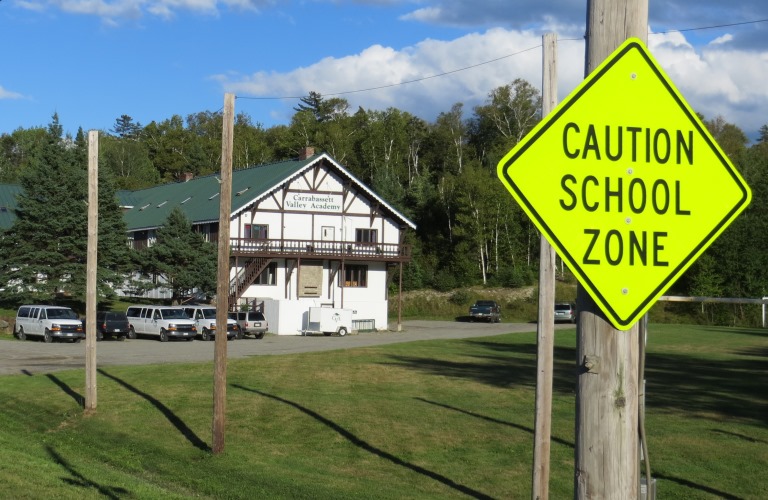
Home to Sugarloaf Mountain and its ski area, it has many related seasonal homes. The population has exploded in the latest census decade. A “ski academy” and a small airport are two enterprises based on the skiing economy. The Appalachian Trail passes north-south through the community along the western side of North and South Crocker Mountains. See video and photos.
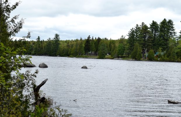
The township is immediately west of the Kennebec River, across from Caratunk, host to the next northerly section of the Appalachian Trail. Access by road begins across the river from Bingham. A right turn brings one to the Carry Pond Road, which proceeds north and becomes a gravel traveled way. The right fork about three…
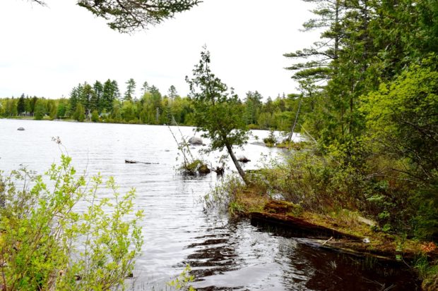
Appalachian Trail routes from details of a 1956 Historic Topographic Map preserved by the University of New Hampshire (see below). This township is technically known as T2 R3 BKP WKR. The latter initials mean Bingham’s Kennebec Purchase West of the Kennebec River. The township (Not to be…
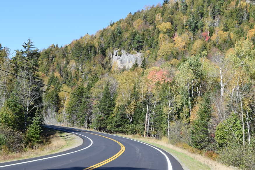
is the name for Township T2 R6 WBKP, which contains the Chain Lakes, a waterway that provided Benedict Arnold’s expedition with the final passage to Canada on October 25th and 26th in 1775. The North Branch of the Dead River flows south from the lakes and provided the expedition with a path to them. Above…

Consecutive Championships School No. Years Monmouth 5 1998-2002 C. Aroostook 5 2008-2012 Year Class A Class B Class C Class D 1987 Bonny Eagle Bucksport Central Aroostook Deer-Isle 1988 Bonny Eagle Bucksport Central Aroostook Deer-Isle 1989 Windham Bucksport Central Aroostook Shead 1990 Brunswick Marshwood Washington Academy Central Aroostook 1991 Lewiston Bucksport Traip Academy Shead 1992…
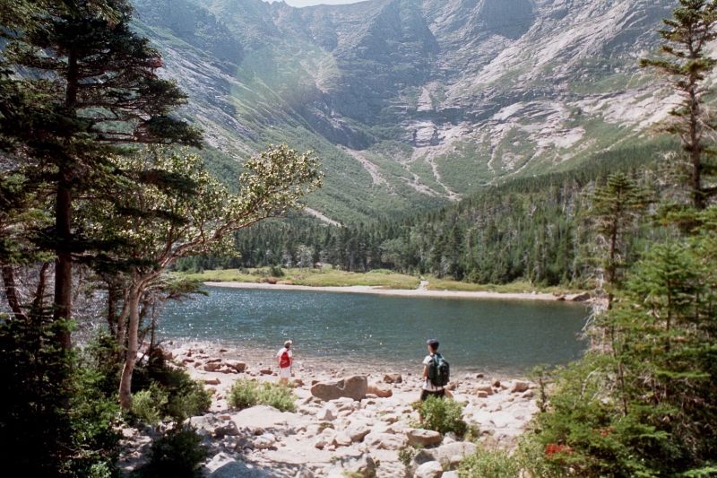
Established in 1938, Chimney Pond campground, one of the “backcountry” sites in Baxter State Park, is a 3.3 mile hike from Roaring Brook campground, the location for nearest automobile access. It has its own ranger station, lean-tos and one bunkhouse, but no showers. This spot offers the best and closest access to the east side…
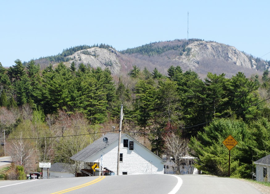
in Penobscot County, incorporated 1848, settled in 1815, and recently growing in population, Clifton provides recreational opportunities, at the southeast end of Chemo Pond and Peaked Mountain, for the greater Bangor area. Fitts Pond in the southwest corner provides water access for Boy Scout Camp Roosevelt. See photos.
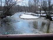
The Cold River Canoe Trip begins in the White Mountain National Forest in Stow, Maine, then to Fryeburg. The river has frequent twists and turns, channel blocking fallen trees, producing several “opportunities” for short portages. Follow Route 113 north from Fryeburg or south from Gilead to Deer Hill Road. In less than a mile, the…
Cross Country is the sport of long-distance running over paths or open country. High school courses are usually several miles in length. Runners are sometimes call “harriers,” after a hound that was used to chase hares in Britain. Class D made a brief appearance in 1982 and 1983; then again from 1993 through 2004, after…
Cross Country is the sport of long-distance running over paths or open country. High school courses are usually several miles in length. Runners are sometimes call “harriers,” after a hound that was used to chase hares in Britain. Class D made a brief appearance in 1982 and 1983; then again from 1993 through 2004, after…

This crossword puzzle focuses on Maine governors, their impact and backgrounds. Search the Encyclopedia for answers as needed. Print pages 1 and 2 for puzzle and clues. – – __Across 2. The governor’s office is located in the __________ 6. Republican governor, then U.S. Senator, who lost his Senate reelection bid to Edmund Muskie 7. …

Although Maine’s history of human settlement goes back 12,000 years, and evidence of Norse visits date from about 1000 AD, written documentation begins in the late 15th century when John and Sebastian Cabot visited explored the coast. This puzzle focuses on that history. Search the Encyclopedia for answers as needed. Print pages 1 and 2…
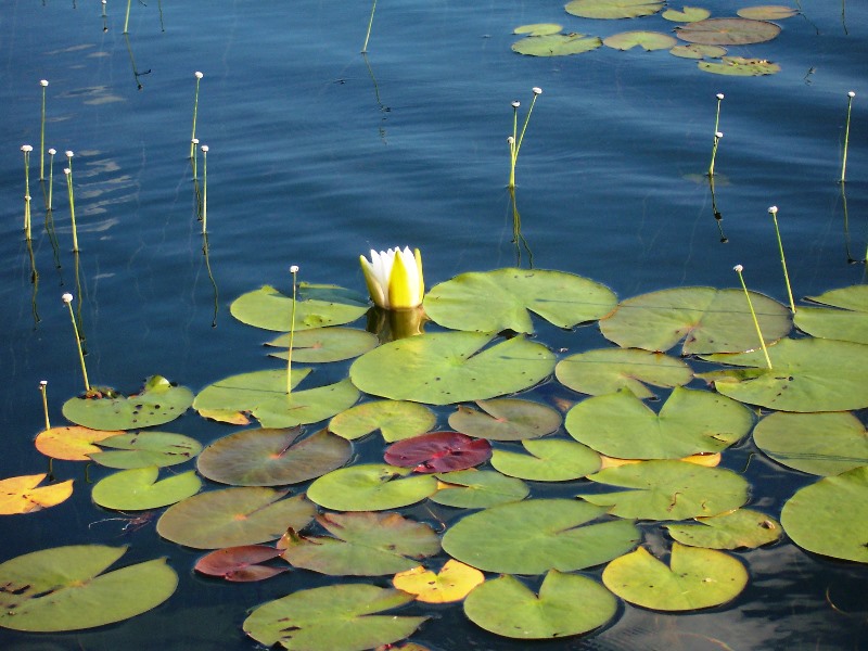
The campground and pond are located in township T3 R10 WELS. The 35-acre pond has a maximum depth of 26 feet and an average of 10 feet. The trail around the pond is about one mile. Daicey Pond had been known by that name since at least 1900. The pond was probably named after the…
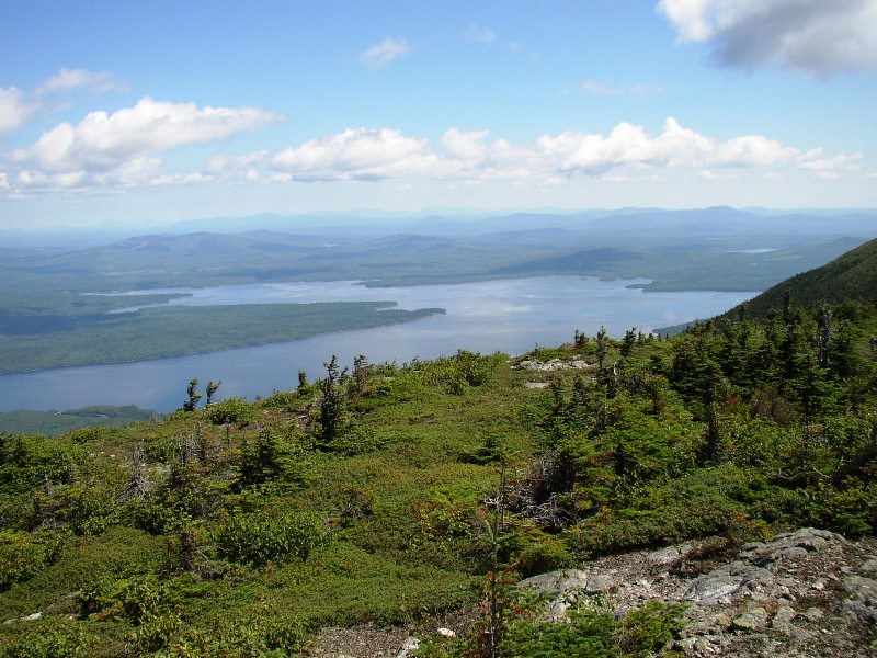
Flagstaff Lake from Bigelow Mountain (2003) The township is immediately west of Carrying Place Town Township, host to the next northerly section of the AT. Little Bigelow Mountain, Myron H. Avery Peak, and West…
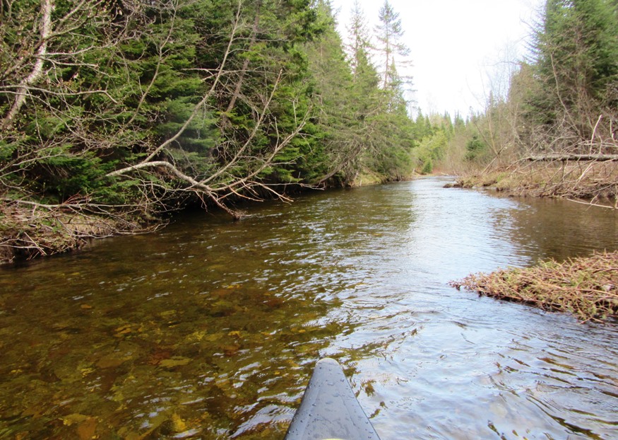
A scenic location for mountain bicyclists 84 miles north of Skowhegan, it is adjacent to Jackman. See photos. Two ponds with boat launches are several miles west of U.S. Route 201 in its interior. The sparsely populated plantation’s organization was confirmed formally in 1895.
The 1835 Union Church was a community meeting house, then in 1922, the Town Office, and recently home of the Durham Historical Society. The early 20th century religious movement known as the Sandfordites, after their leader Frank W. Sandford, built their 1897 temple “Shiloh” here. Runaround Pond offers a pleasant canoe trip through water lilies and bird life. See video and photos.