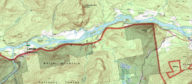
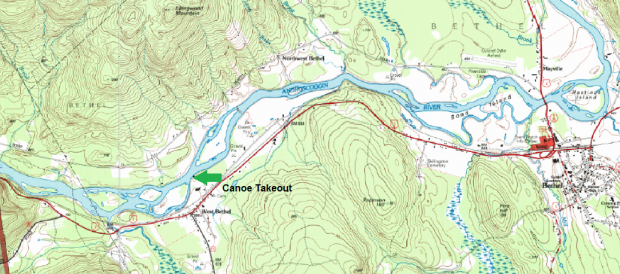
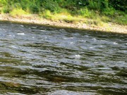
This relatively brief canoe trip makes about five of its six miles through the town of Gilead. Infrequent Class I rapids are involved; shallows where the river divides around several small islands require one’s attention.
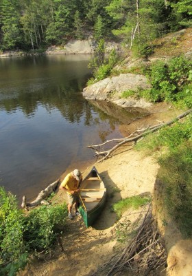
Launching is near Bridge Road off U.S. 2 in Gilead. The bridge over the Androscoggin is immediately apparent after entering the river. At about two miles, several islands appear that challenge one to find the primary channel. A mile later a few other islands appear, with the pattern continuing until the West Bethel landing.
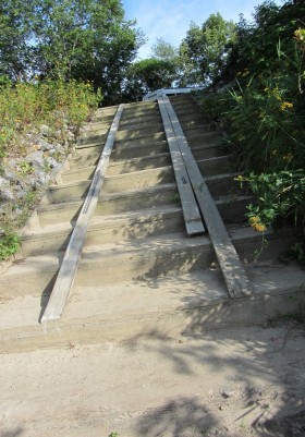
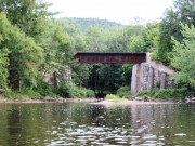
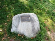
The final mile is in West Bethel, a village in the town of Bethel. Shortly after entering Bethel, the Pleasant River joins the Androscoggin on the right. A railroad bridge over the Pleasant is an easy landmark. Another maze of islands follows for the remaining mile. The takeout appears on the right bank at “Newt’s Landing” near Ferry Road. The landing is named for Burton L. “Newt” Newton, and has a well-kept parking area and launch/takeout ramp.
More Videos!
Additional resources
See Canoe Trips
The maps are sections of ME_Gilead_105159_1995_24000_geo.pdf, and ME_Bethel_104916_1995_24000_geo, both 1995 maps from nationalmap.gov/ustopo/ (accessed September 21, 2013)


