Parmachenee Township
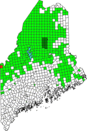
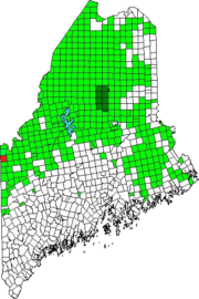
Location Map for Parmachenee Township

This township is on the New Hampshire border in northwestern Maine. The name, according to Brian McCauley, is “Abenaki for ‘across the usual path.’ Legend says it was the name of an Indian Chief’s daughter.” The Magalloway River runs southward through it and through the 900+ acre Parmachenee Lake, which extends south into Lynchtown Township.…

Lynchtown Township

Location Map for Lynchtown Township

The Oxford County Township, in northwestern Maine on the New Hampshire border, is just south of Parmachenee Township. It includes and  a small north portion of Aziscohos Lake and the bulk of Parmachenee Lake.  That lake was home to the Parmachenee Club. The Club was formed in 1890 by a group of mostly New York…

Fruits

Pick Your Own Tray with strawberries (2017)

Berries Strawberries Strawberries are a high value crop in Maine agriculture with net profit potential of $6,000 or more per acre. The number of farms raising strawberries and the acreage dedicated to them increased substantially in recent years, with more demand for locally grown fresh fruit. Strawberries are the most widely grown small fruit crop…

Katahdin Woods and Waters National Monument

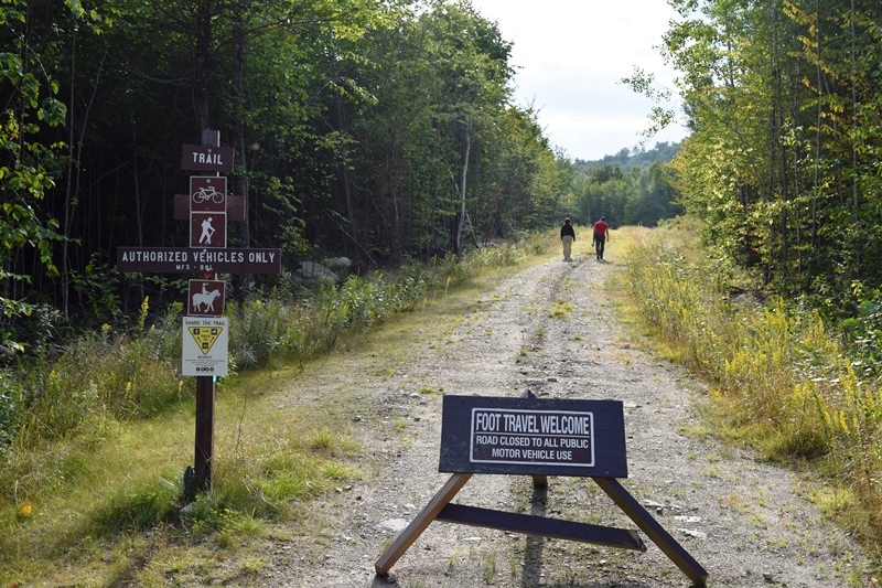
Hiking, Biking, Horseback Trail in Katahdin Woods and Waters (2017)

In August 2016, President Barak Obama designated this area a National Monument.  It was offered to the United States government by the Roxanne Quimby Foundation, which has established a substantial endowment with the National Park Foundation to support the administration the monument. Katahdin Woods and Waters Recreation Area, east of Baxter State Park, contains about…